

Alpenglow Expeditions
Hiking business nearby (~24 mi away) — hasn't claimed their Roamze page yet
Nevada
Free — you'll pick up right here.
1.0 mi
Distance
96 ft
Gain
20 min
Time
We won't guess. Here is exactly what we do and don't know.
What we do know
Inside Humboldt-Toiyabe National Forest
2 managing-area boundaries mapped — agency alerts for them feed this page automatically.
Boundary data
What's missing
No access route mapped
We don't yet know which road reaches this trailhead, so we can't tell you if it's gated.
Nobody's filed a report here yet — be the first.
Why you'll love it
James Lee Loop4
Suggested plan · check conditions before you go
James Lee Loop4 is a short out-and-back trail in Nevada managed by the Forest Service. The trail is 1 mile long with 7 feet of elevation gain and 53 feet of elevation loss.
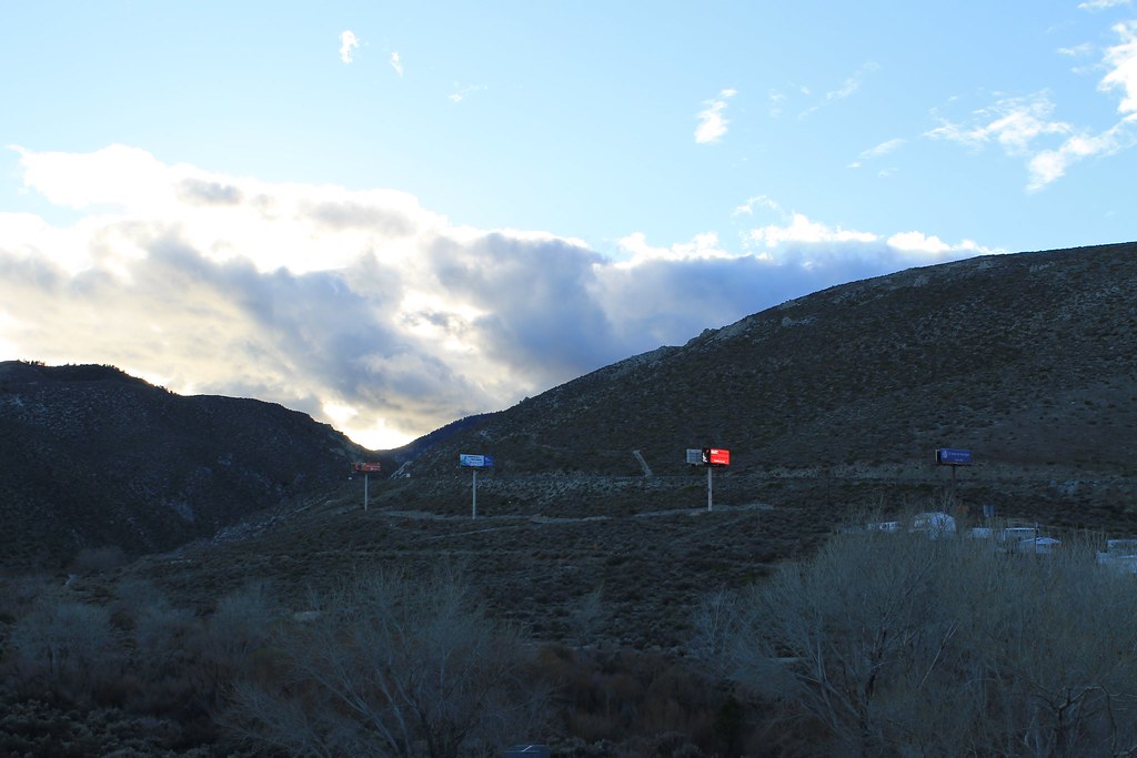 Photo: Nouhailler, CC BY-SA 2.0 (via Flickr)
Dirt path
~4 min drive
1.12-mile out-and-back trail in Nevada with 63 ft elevation gain.
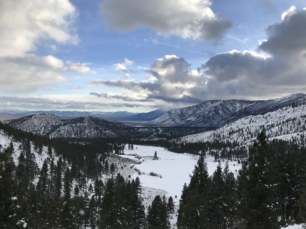 Photo: jfdervin, CC BY-SA 2.0 (via Flickr)
X9-T Non-Motorized
~7 min drive
0.88-mile out-and-back trail in Nevada with 191 ft gain.
 Photo: jfdervin, CC BY-SA 2.0 (via Flickr)
EZ Trail
~8 min drive
2.42-mile out-and-back hike in Nevada with 1,069 ft elevation gain
 Photo: Wheeler Cowperthwaite, CC BY 2.0 (via Flickr)
Lincoln Bypass
~9 min drive
8.26-mile out-and-back trail in Nevada with 1,191 ft elevation gain.
 Photo: Seth Tisue, CC BY-SA 2.0 (via Flickr)
Bently Heritage Trail
~5 min drive
1.82-mile out-and-back trail in Nevada with 18 ft elevation gain.
 Photo: simonov, CC BY-SA 2.0 (via Flickr)
North Canyon Rd
~11 min drive
4.55-mile out-and-back canyon road hike in Nevada.
 Photo: jfdervin, CC BY-SA 2.0 (via Flickr)
Capital to Tahoe
~9 min drive
20.24-mile out-and-back trail in Nevada with 1,776 ft gain
 Photo: levlaz, CC BY-SA 2.0 (via Flickr)
Clear Creek
~6 min drive
0.65-mile out-and-back trail in Nevada with 194 ft gain.
 Photo: simonov, CC BY-SA 2.0 (via Flickr)
North Canyon Rim Trail Connector
~11 min drive
2.62-mile out-and-back trail in Nevada with 1,502 ft elevation gain
 Photo: jfdervin, CC BY-SA 2.0 (via Flickr)
Ash to Kings Trail
~8 min drive
14.20-mile out-and-back trail in Nevada with 546 ft elevation gain.
Local operatorsoffering guided trips. You book directly with them — Roamze doesn’t take a cut.
Alpenglow Expeditions
Hiking business nearby (~24 mi away) — hasn't claimed their Roamze page yet
