Weigle Hill
Washington
Free — you'll pick up right here.
1.4 mi
Distance
473 ft
Gain
40 min
Time
Conditions: Caution
for hike, todayAgency alerts are in effect for this area; weather is good
2 factors · 2 sources
Newest 16 h ago · oldest 16 h
caution: Agency alerts
19 active alerts in Gifford Pinchot National Forest; most severe: Fire Restrictions
USFSPosted Sep 18 · checked 16 h ago
clear: Weather
Clouds, high 61°F / low 50°F, 0% precip — 95/100 for hike
OpenWeather16 h ago
Been out here in the last few days? One report keeps this current for everyone.
Why you'll love it
Here's your day, mapped
Weigle Hill
Suggested plan · check conditions before you go
Meals
Gear for the day
Elevation & route
- Distance
- 1.4 mi
- Elevation gain
- 473 ft
- Elevation loss
- 473 ft
- Highest point
- 3,303 ft
- Lowest point
- 3,063 ft
Photos
Directions & GPX
Permits & access
- Managing agency
- Forest Service
About this trail
Weigle Hill offers a moderate out-and-back hike spanning 1.40 miles in Washington. This trail connects to the Cedar Creek Trail system, making it a great option for hikers seeking a manageable woodland adventure.
Add to a trip & share
Keep exploring — more trails worth the drive
 Photo: Ken Lund from Reno, Nevada, USA, CC BY-SA 2.0 (via Wikimedia Commons)
Bunker Hill
~12 min drive
A hard 2-mile out-and-back trail in Washington that links to the Pacific Crest Trail system, offering a compact but challenging hiking experience.
 Photo: mjfmjfmjf, CC BY 2.0 (via Flickr)
Diluvian Tie
~17 min drive
0.62-mile out-and-back trail in Oregon with 50 ft of elevation gain.
 Photo: Nwcamera1, CC BY-SA 3.0 (via Wikimedia Commons)
McClellan Meadows Trail #157
~17 min drive
6.0-mile out-and-back hike in Washington with 1,128 ft gain and 3,617 ft max elevation.
Grassy Knoll
~7 min drive
An 11-mile out-and-back moderate hike in Washington that connects to the Pacific Crest Trail system.
UPPER FALLS CREEK
~15 min drive
18.62-mile out-and-back trail in Washington with 3,587 ft elevation gain
 Photo: Nwcamera1, CC BY-SA 3.0 (via Wikimedia Commons)
Shortcut
~14 min drive
A 1-mile out-and-back forest trail in Washington that links to Indian Racetrack Trail 171 and the Pacific Crest Trail 2000.
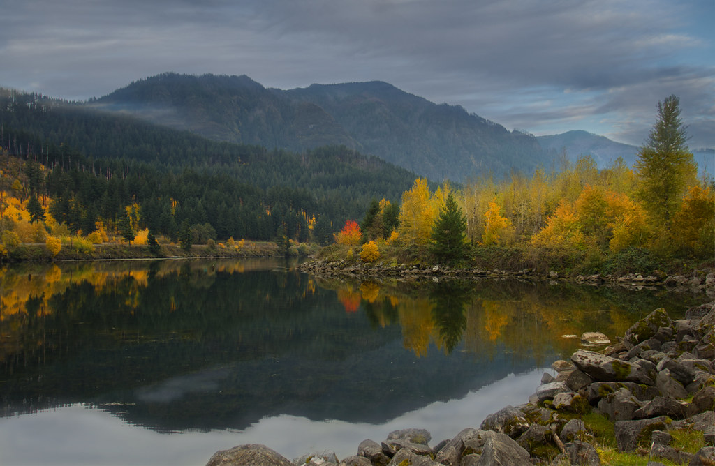 Photo: Bonnie Moreland (free images), Public Domain Mark (via Flickr)
Pandion Drift
~17 min drive
0.72-mile out-and-back trail in Oregon with 122 ft of elevation gain.
 Photo: Robert Ashworth from Bellingham, WA., USA, CC BY 2.0 (via Wikimedia Commons)
Wind Mountain Trail
~14 min drive
2.2-mile out-and-back hike in Washington with 2,305 ft gain.
Stevenson Ridge Trail
~12 min drive
11.9-mile out-and-back hike in Washington with 2,734 ft gain
 Photo: U.S. Forest Service- Pacific Northwest Region, Public domain (via Wikimedia Commons)
Jokulhlaup
~17 min drive
2.00-mile out-and-back trail in Oregon with 410 ft elevation gain
