
Granite Peak RV Resort
Hiking business nearby (~18 mi away) — hasn't claimed their Roamze page yet
Montana
Free — you'll pick up right here.
11.2 mi
Distance
1,788 ft
Gain
4h 38m
Time
We won't guess. Here is exactly what we do and don't know.
What we do know
Inside Lolo National Forest
2 managing-area boundaries mapped — agency alerts for them feed this page automatically.
Boundary data
What's missing
No access route mapped
We don't yet know which road reaches this trailhead, so we can't tell you if it's gated.
Nobody's filed a report here yet — be the first.
Why you'll love it
Lantern Ridge
Suggested plan · check conditions before you go
Source for bikes, horses, surface: USDA Forest Service National Forest System Trails (EDW)
Lantern Ridge is an 11.24-mile out-and-back trail in Montana with 1,788 feet of elevation gain. The trail follows an out-and-back route type, meaning it does not out-and-back back on itself.
Source: Roamze elevation profile and trail geometry (DEM samples along the mapped route)
Active alerts for Lolo National Forest as of Oct 9, 2026:
Temporary Administrative Pasture Firearms Closure
information · posted Sep 28, 2026
Deer Creek Road Closure- NFSR 236
information · posted Sep 21, 2026
information · posted Sep 12, 2026
Forest, Regional and Other Regulations
information · posted Aug 24, 2026
East Fork Big Creek Road & Trail Closure- Superior Ranger District
caution · posted Aug 24, 2026
Cabin City Campground Area, Roads & Trail Closed for Public Safety (May 11, 2026–May 1, 2027)
information · posted Aug 24, 2026
Gilbert Creek Road Closure- Forest Service Road 34
information · posted Aug 24, 2026
Source: USFS forest alerts
Source: Roamze catalog (indexable pages within 10 miles, PostGIS distance)
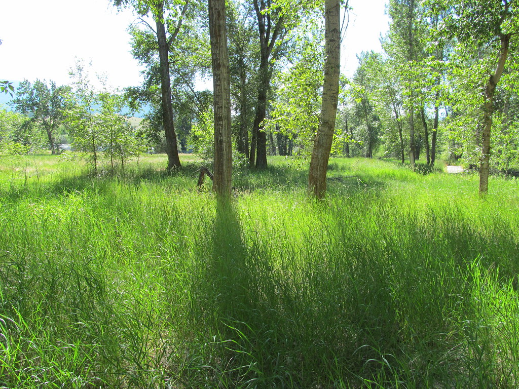 Photo: reverendlukewarm, CC BY-SA 2.0 (via Flickr)
bitteroot runoff trail
~18 min drive
12.2-mile out-and-back trail in Montana with 2,795 ft elevation gain
 Photo: Evan-Lovely, CC BY-SA 2.0 (via Flickr)
BLUE MTN M/C DEADMAN RIDGE
~18 min drive
5.14-mile out-and-back trail in Montana with 1,391 ft elevation gain and loss.
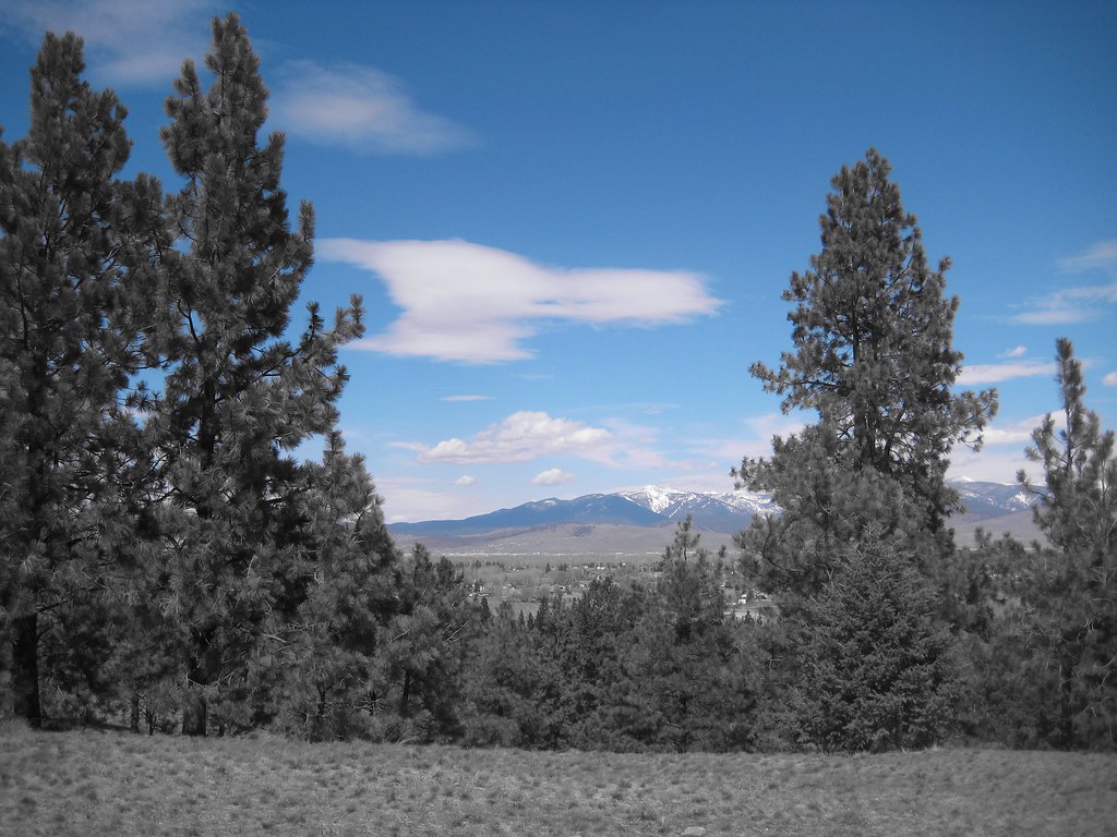 Photo: Evan-Lovely, CC BY-SA 2.0 (via Flickr)
HAYES POINT CUTOFF
~19 min drive
1.34-mile out-and-back trail in Montana with 734 ft elevation gain.
Horsehoe Loop
~19 min drive
0.64-mile out-and-back trail in Montana with 123 ft elevation gain.
Mill Creek Trail
~7 min drive
6.58-mile out-and-back trail in Montana with 3,231 ft elevation gain and loss.
ONE HORSE LAKES
~8 min drive
5.48-mile out-and-back trail to One Horse Lakes in Montana with 1,846 ft elevation gain.
Photo: Evan-Lovely, CC BY-SA 2.0 (via Flickr)BLUE MTN HORSE/HIKER NRT TIE
~19 min drive
2.1-mile out-and-back trail in Montana with 721 ft elevation gain.
North Zone Loop
~19 min drive
0.94-mile out-and-back trail in Montana with 90 ft of elevation gain.
MILL CREEK
~7 min drive
7.68-mile out-and-back trail in Montana with 3,144 ft elevation gain
Sally Ridge Trail
~10 min drive
9.14-mile out-and-back trail in Montana with 2,245 ft elevation gain/loss.
Local operatorsoffering guided trips. You book directly with them — Roamze doesn’t take a cut.
Granite Peak RV Resort
Hiking business nearby (~18 mi away) — hasn't claimed their Roamze page yet
