Arrowhead Point Campground and Cabins
Hiking business nearby (~5 mi away) — hasn't claimed their Roamze page yet
Colorado
Free — you'll pick up right here.
1.7 mi
Distance
748 ft
Gain
We won't guess. Here is exactly what we do and don't know.
What we do know
Inside Pike and San Isabel National Forests
2 managing-area boundaries mapped — agency alerts for them feed this page automatically.
Boundary data
What's missing
No access route mapped
We don't yet know which road reaches this trailhead, so we can't tell you if it's gated.
Nobody's filed a report here yet — be the first.
Why you'll love it
Bunny's Trail
Suggested plan · check conditions before you go
Bunny's Trail is a 1.72-mile out-and-back route in Colorado's Pike and San Isabel National Forests, gaining 748 feet of elevation over the round trip. The trail reaches a maximum elevation of 10,673 feet.
 Photo: twslivxe26, CC BY-SA 2.0 (via Flickr)
Mount Columbia
~4 min drive
Standard route to Mount Columbia (14,077 ft) from North Cottonwood Creek.
 Photo: kalestews, CC BY 2.0 (via Flickr)
Harvard Columbia Scramble
~5 min drive
4.30-mile out-and-back scramble in Colorado with 1,230 ft gain.
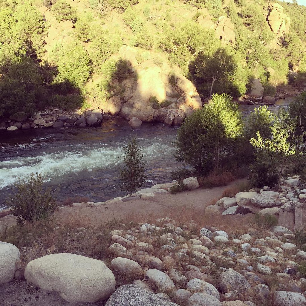 Photo: JenTravelsLife, CC BY 2.0 (via Flickr)
North Trail
~12 min drive
1.64-mile out-and-back trail in Colorado with 825 ft elevation gain
 Photo: Mark Crockett, CC BY 3.0 (via Wikimedia Commons)
Missouri Mtn
~14 min drive
3.22-mile out-and-back hike in Colorado's Pike and San Isabel National Forests with 1,480 ft gain.
 Photo: jl_2, CC BY-SA 2.0 (via Flickr)
Mt. Huron Trail 1507
~17 min drive
5.0-mile out-and-back trail in Colorado with 2,547 ft gain and 12,897 ft max elevation.
Photo: twslivxe26, CC BY-SA 2.0 (via Flickr)Kroenke Lake
~6 min drive
12.37-mile out-and-back trail to Kroenke Lake in Colorado's Pike and San Isabel National Forests.
 Photo: Paul and Jill, CC BY 2.0 (via Flickr)
Whitewater Trail
~13 min drive
0.7-mile out-and-back trail in Colorado with 65 ft of elevation gain.
Photo: Mark Crockett, CC BY 3.0 (via Wikimedia Commons)Mt. Belford - Missouri Gulch
~15 min drive
3.50-mile out-and-back trail in Colorado with 2,562 ft elevation gain.
Photo: twslivxe26, CC BY-SA 2.0 (via Flickr)Mount Harvard
~4 min drive
Standard route to Mount Harvard (14,421 ft) from North Cottonwood Creek.
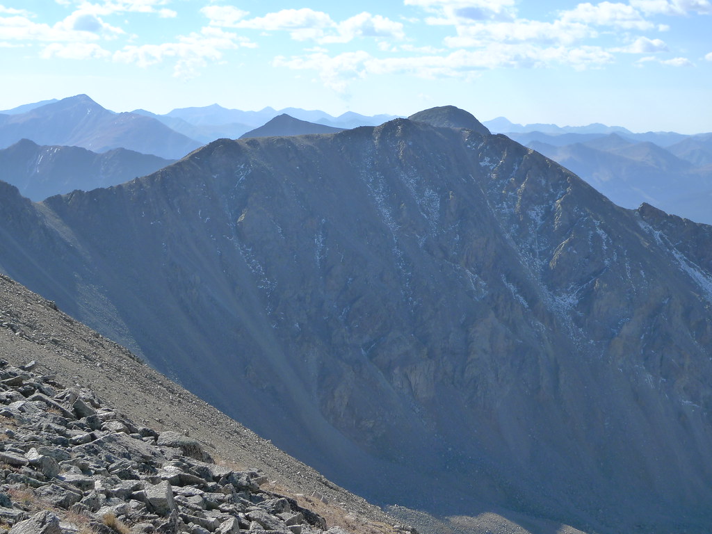 Photo: jl_2, CC BY-SA 2.0 (via Flickr)
Missouri Mtn - Clohseys Lake
~16 min drive
3.08-mile out-and-back trail in Colorado managed by Pike and San Isabel National Forests.
Also worth it near here
Heckendorf
~2 min drive
Vault Toilet
~4 min drive
 Photo: David Herrera from Albuquerque, NM, Bernalillo, CC BY 2.0 (via Wikimedia Commons)
Mount Columbia
~5 min drive
 Photo: Christian Hagenlocher, CC BY 4.0 (via Wikimedia Commons)
Mount Columbia Southwest Coulior
~7 min drive
Railroad Bridge Recreation Site Boat Launch
~7 min drive
Local operatorsoffering guided trips. You book directly with them — Roamze doesn’t take a cut.
Arrowhead Point Campground and Cabins
Hiking business nearby (~5 mi away) — hasn't claimed their Roamze page yet
Valley Mobile RV Park
Hiking business nearby (~6 mi away) — hasn't claimed their Roamze page yet
Mt. Princeton RV Park
Hiking business nearby (~6 mi away) — hasn't claimed their Roamze page yet
