Pit River Trail
California
Free — you'll pick up right here.
6.2 mi
Distance
78 ft
Gain
No verdict for this trail
We won't guess. Here is exactly what we do and don't know.
What we do know
Inside Modoc National Forest
2 managing-area boundaries mapped — agency alerts for them feed this page automatically.
Boundary data
What's missing
No access route mapped
We don't yet know which road reaches this trailhead, so we can't tell you if it's gated.
Nobody's filed a report here yet — be the first.
Why you'll love it
Here's your day, mapped
Pit River Trail
Suggested plan · check conditions before you go
Meals
Gear for the day
Elevation & route
- Distance
- 6.2 mi
- Elevation gain
- 78 ft
- Highest point
- 4,329 ft
- Lowest point
- 4,244 ft
Photos
Directions & GPX
Permits & access
- Bikes
- yes
About this trail
Pit River Trail is a 6.18-mile out-and-back hike in California with 1,158 feet of elevation gain. The trail follows the Pit River through the region's landscape.
Add to a trip & share
Keep exploring — more trails worth the drive
 Photo: JOE BLOWE from Bountiful, Utah, Iran, CC BY-SA 2.0 (via Wikimedia Commons)
Timbered Crater Trail
~48 min drive
1.1-mile out-and-back hike in California with 194 ft elevation gain.
 Photo: ex_magician, CC BY 2.0 (via Flickr)
Little Medicine Loop
~56 min drive
0.43-mile loop trail in California managed by the Forest Service.
Photo: ex_magician, CC BY 2.0 (via Flickr)Little Mount Hoffman Trail
~56 min drive
6.12-mile out-and-back hike in California with 678 ft gain
Three Sisters Trail
~55 min drive
7.1-mile out-and-back hike in California with 429 ft gain and 4,580 ft max elevation.
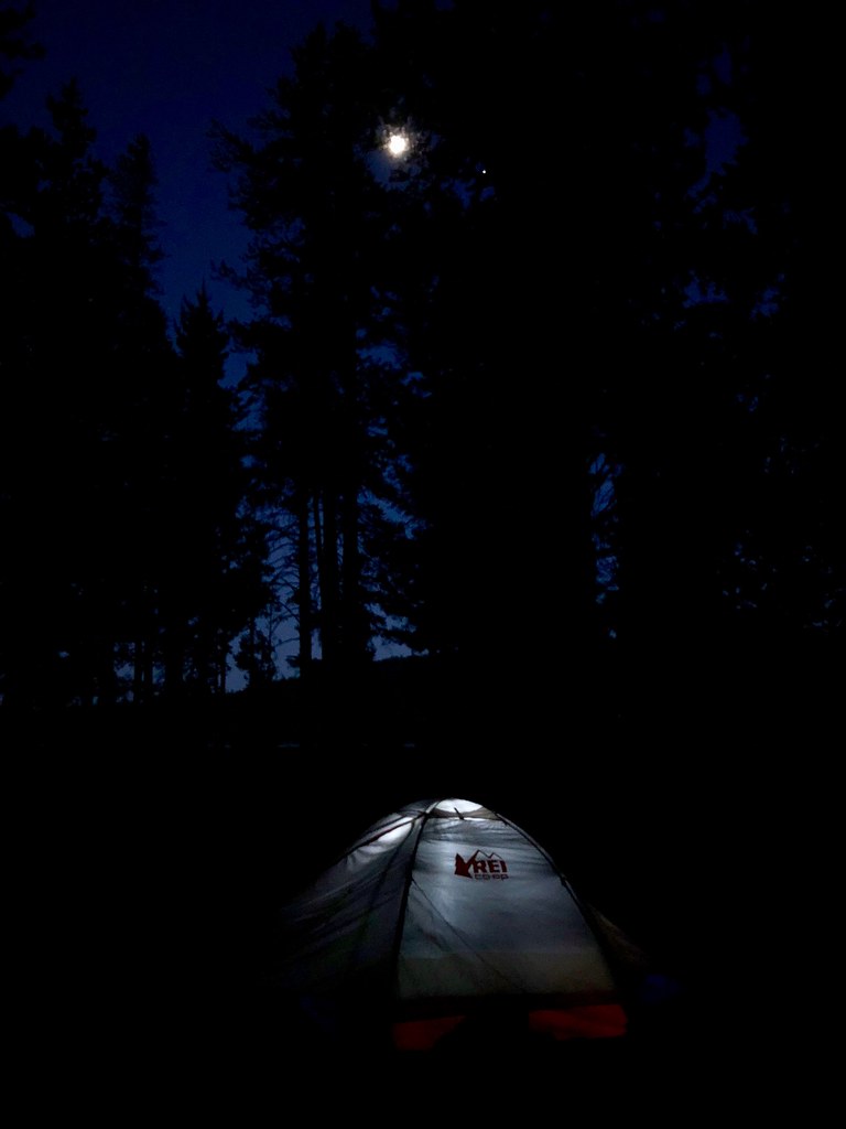 Photo: daveynin, CC BY 2.0 (via Flickr)
Medicine Lake Glass Flow Trail
~55 min drive
0.74-mile out-and-back hike with 33 ft gain at Medicine Lake Glass Flow Trail, California
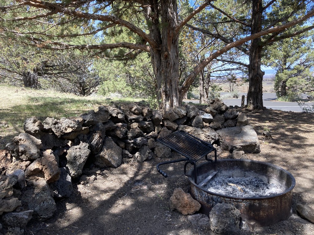 Photo: bgwashburn, CC BY 2.0 (via Flickr)
Indian Well Campground
~57 min drive
0.9-mile out-and-back trail at Indian Well Campground in California.
Red Tail Rim Trail
~32 min drive
19.13-mile out-and-back trail in California with 3,015 ft gain.
Modoc Line Trail
~57 min drive
9.2-mile out-and-back hike in California with 1,004 ft gain/loss
Photo: ex_magician, CC BY 2.0 (via Flickr)Medicine Lakeshore Trail
~55 min drive
2.36-mile out-and-back hike at Medicine Lakeshore Trail in California
Heppe Cave Trail Start, Tulelake, CA
~58 min drive
Heppe Cave Trail can be found on the road to Mammoth Crater. This 0.4-mile (0.6 km) trail begins under tall Ponderosa pines. As you reach the end of the trail, you will view an enormous collapse. Follow the trail into Heppe Ice Cave that has a large opening at both ends. Due…
Also worth it near here

