
North Face
North Carolina
Free — you'll pick up right here.
1.6 mi
Distance
431 ft
Gain
42 min
Time
Conditions: Blocked
for hike, todayAn agency closure order is in effect for this area; weather is good
2 factors · 2 sources
Newest 7 h ago · oldest 7 h
problem: Agency alerts
46 active alerts in National Forests in North Carolina; most severe: Siddie Fields Day Use Area closed for improvements
USFSPosted Sep 28 · checked 7 h ago
clear: Weather
Clouds, high 68°F / low 51°F, 0% precip — 95/100 for hike
OpenWeather7 h ago
Been out here in the last few days? One report keeps this current for everyone.
Why you'll love it
Here's your day, mapped
North Face
Suggested plan · check conditions before you go
Meals
Gear for the day
Elevation & route
- Distance
- 1.6 mi
- Elevation gain
- 431 ft
- Elevation loss
- 431 ft
- Highest point
- 3,275 ft
- Lowest point
- 2,998 ft
Photos
Directions & GPX
Permits & access
- Managing agency
- Forest Service
- Bikes
- yes
About this trail
The North Face trail in Tennessee offers an accessible 1.56-mile out-and-back route perfect for hikers of all skill levels. This easy walk provides a straightforward journey out and back, making it an ideal choice for a quick outdoor outing or a leisurely afternoon hike.
Add to a trip & share
Keep exploring — more trails worth the drive
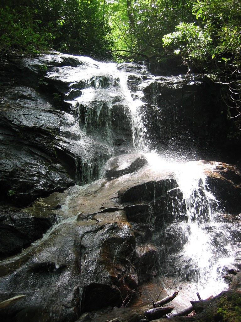 Photo: msprague, CC BY-SA 2.0 (via Flickr)
Seniard Ridge
~2 min drive
A 5.05-mile out-and-back hike on a logging road in Tennessee, connecting to Case Camp Ridge.
 Photo: Wncoutdoors, CC BY-SA 3.0 (via Wikimedia Commons)
SENIARD RIDGE CONNECTOR
~2 min drive
1.0-mile out-and-back trail in North Carolina with 665 ft elevation gain
 Photo: kerinin, CC BY-SA 2.0 (via Flickr)
Bridges Camp Gap Trail
~3 min drive
2.28-mile out-and-back hike in North Carolina with 409 ft gain.
 Photo: mededeler, CC BY 2.0 (via Flickr)
Looking Glass Rock
~3 min drive
A 6.10-mile out-and-back trail in Tennessee offering hikers a direct route through the state's natural environment.
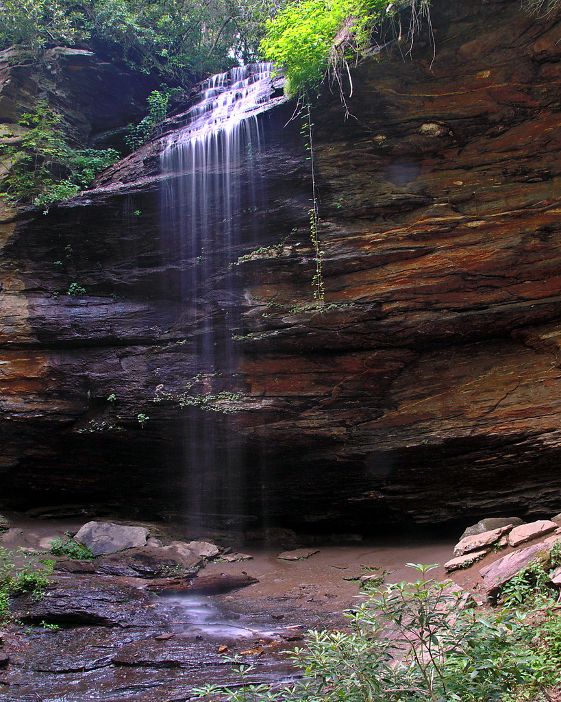 Photo: rharrison, CC BY-SA 2.0 (via Flickr)
Coontree Loop
~4 min drive
3.02-mile out-and-back trail in North Carolina with 1,045 ft elevation gain
Photo: Wncoutdoors, CC BY-SA 3.0 (via Wikimedia Commons)Case Camp Ridge
~3 min drive
A challenging 2.76-mile out-and-back trail in Tennessee that connects to the North Face Trail system.
 Photo: daveynin, CC BY 2.0 (via Flickr)
Greasy Cove
~4 min drive
A demanding 6.35-mile out-and-back trail in Tennessee that connects to Grassy Cove Ridge, suited for experienced hikers.
 Photo: 5chw4r7z, CC BY-SA 2.0 (via Flickr)
COON TREE LOOP CONNECTOR
~4 min drive
3.34-mile out-and-back trail in North Carolina with 1,257 ft elevation gain.
 Photo: twbuckner, CC BY 2.0 (via Wikimedia Commons)
Coon Tree Loop
~4 min drive
A moderate 2.35-mile out-and-back trail in Tennessee ideal for hikers wanting a solid mid-distance workout.
Cat Gap Loop
~4 min drive
A moderate 7.4-mile out-and-back trail in Tennessee that connects to the Butter Gap Trail system, ideal for a full day of hiking.
Also worth it near here
Photo: Osajus Photography, CC BY 2.0 (via Flickr)Looking Glass Boulders
~1 min drive
Headwater Road
~1 min drive
 Photo: bradploeger, CC BY-SA 2.0 (via Wikimedia Commons)
Looking Glass Rock
~1 min drive
Restroom
~1 min drive
 Photo: 5minutes at English Wikipedia, CC BY 2.5 (via Wikimedia Commons)
Slick Rock Falls
~2 min drive
