Crater Ice Cave
Montana
Free — you'll pick up right here.
3.5 mi
Distance
1,678 ft
Gain
2h 1m
Time
No verdict for this trail
We won't guess. Here is exactly what we do and don't know.
What we do know
Inside Custer Gallatin National Forest
2 managing-area boundaries mapped — agency alerts for them feed this page automatically.
Boundary data
What's missing
No access route mapped
We don't yet know which road reaches this trailhead, so we can't tell you if it's gated.
Nobody's filed a report here yet — be the first.
Why you'll love it
Here's your day, mapped
Crater Ice Cave
Suggested plan · check conditions before you go
Meals
Gear for the day
Elevation & route
- Distance
- 3.5 mi
- Elevation gain
- 1,678 ft
- Highest point
- 8,792 ft
- Lowest point
- 7,095 ft
Photos
Directions & GPX
Permits & access
- Managing agency
- Forest Service
- Bikes
- yes
About this trail
Crater Ice Cave is a 3.55-mile out-and-back trail in Montana managed by the Forest Service. The route gains 1,678 feet of elevation.
Add to a trip & share
Keep exploring — more trails worth the drive
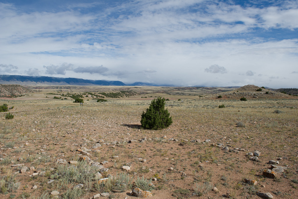 Photo: Greg_Hanson, CC BY 2.0 (via Flickr)
Upper Layout Creek Trail
~19 min drive
Upper Layout Creek Trail: Hard, 1.8 Miles Round Trip 780 feet elevation gain Erastus T. Ewing came to Bighorn Canyon looking for gold. Finding none he decided to try his hand at ranching. He knew that to make it in this arid land he would need water. In 1897, he filed to appr…
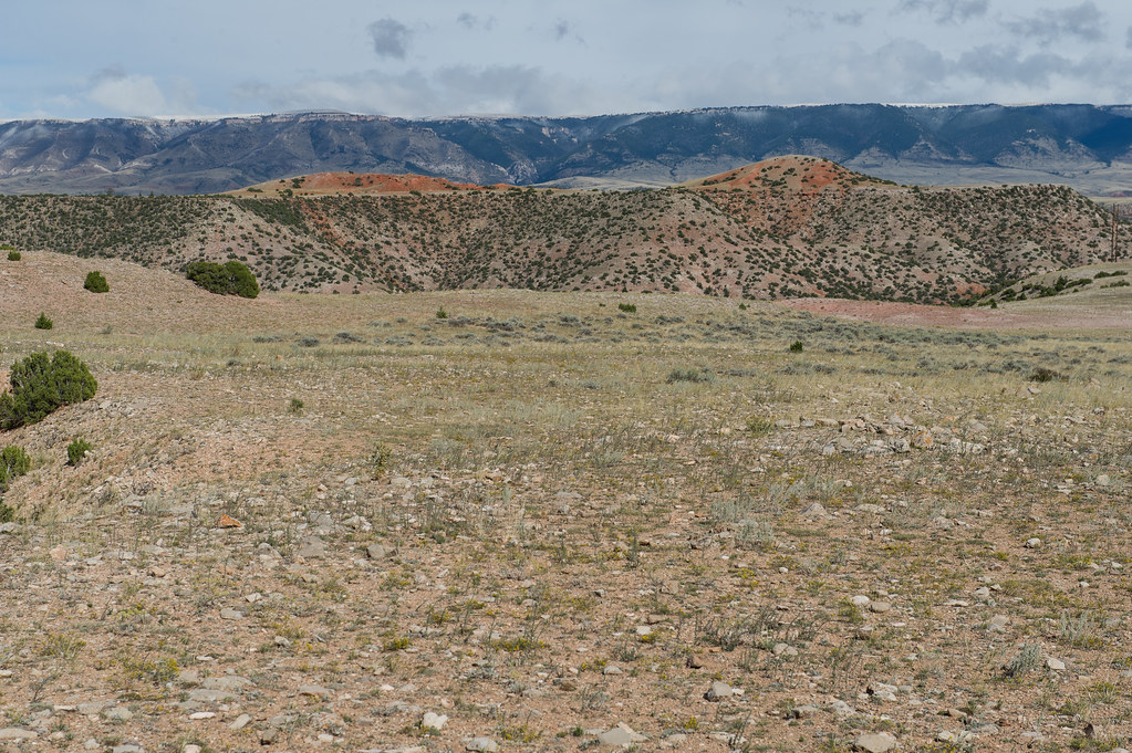 Photo: Greg_Hanson, CC BY 2.0 (via Flickr)
Lower Layout Creek
~22 min drive
0.54-mile loop trail in Montana with 133 ft elevation gain.
Big Pryor
~10 min drive
8.21-mile out-and-back trail in Montana with 2,455 ft elevation gain.
South Pasture
~21 min drive
9.94-mile out-and-back trail in Montana with 5,031 ft elevation gain.
Lower Layout Creek Trail
~20 min drive
Lower Layout Creek Trail: Easy to Moderate, 3.4 Miles Round Trip The Lower Layout Creek trailhead is located at the cattle guard that marks the northern end of the Pryor Mountain Wild Horse Range. At the cattle guard, park on either side of the road making sure you are not bl…
 Photo: Mobilus In Mobili, CC BY-SA 2.0 (via Flickr)
Sullivans Knob
~23 min drive
0.51-mile lollipop trail in Montana with 339 ft elevation gain.
Pumpkin Creek
~60 min drive
15.26-mile out-and-back trail in Wyoming with 2,194 ft elevation gain.
null
~21 min drive
9.94-mile out-and-back trail in Montana with 5,031 ft elevation gain.
Photo: Greg_Hanson, CC BY 2.0 (via Flickr)Two Eagles Interpretive Trail
~20 min drive
Two Eagles Interpretive Trail: Easy, Handicapped accessible, 0.25 Miles Round Trip The site has been used by Native Americans for over 10,000 years. In the vicinity of the trail there are more than 140 stone circles. The stones were used by tribal families to hold down the ed…
Photo: Mobilus In Mobili, CC BY-SA 2.0 (via Flickr)DCO Ridge
~24 min drive
1.36-mile out-and-back trail on DCO Ridge in Montana with 249 ft gain/loss
