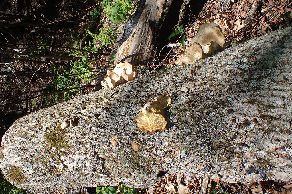
Deep Creek
North Carolina
Free — you'll pick up right here.
6.0 mi
Distance
3,165 ft
Gain
3h 30m
Time
No verdict for this trail
We won't guess. Here is exactly what we do and don't know.
What we do know
Inside National Forests in North Carolina
2 managing-area boundaries mapped — agency alerts for them feed this page automatically.
Boundary data
What's missing
No access route mapped
We don't yet know which road reaches this trailhead, so we can't tell you if it's gated.
Nobody's filed a report here yet — be the first.
Why you'll love it
Here's your day, mapped
Deep Creek
Suggested plan · check conditions before you go
Meals
Gear for the day
Elevation & route
- Distance
- 6.0 mi
- Elevation gain
- 3,165 ft
- Elevation loss
- 3,165 ft
- Highest point
- 5,101 ft
- Lowest point
- 2,739 ft
Photos
Directions & GPX
Permits & access
- Managing agency
- Forest Service
About this trail
Deep Creek offers an accessible 5.98-mile out-and-back journey through Tennessee, making it an ideal choice for hikers of all experience levels. This easy-rated trail connects to the Indian Creek Trail system, providing opportunities to extend your adventure or explore adjacent routes. Whether you're seeking a straightforward day hike or a gateway to a larger trail network, Deep Creek delivers a manageable outdoor experience.
Add to a trip & share
Keep exploring — more trails worth the drive
 Photo: MichaelGras, CC BY 2.0 (via Flickr)
Deep Creek
~3 min drive
11.98-mile out-and-back trail in North Carolina with 3,200 ft elevation gain.
 Photo: MichaelGras, CC BY 2.0 (via Flickr)
Twentymile Trail
~10 min drive
1.08-mile out-and-back trail in North Carolina with 443 ft elevation gain
 Photo: MichaelGras, CC BY 2.0 (via Flickr)
FODDERSTACK MOUNTAIN
~12 min drive
20.9-mile out-and-back trail in North Carolina with 5,003 ft elevation gain and loss.
Photo: MichaelGras, CC BY 2.0 (via Flickr)DEEP CREEK CONNECTOR
~1 min drive
4.08-mile loop in North Carolina with 1,920 ft elevation gain and loss.
 Photo: MichaelGras, CC BY 2.0 (via Flickr)
Haoe Lead
~2 min drive
A 12.93-mile out-and-back Tennessee trail connecting to the Benton MacKaye, Slickrock, and Hangover Lead trails.
 Photo: MichaelGras, CC BY 2.0 (via Flickr)
Wright's Creek
~10 min drive
0.31-mile loop trail in North Carolina with 14 ft of elevation gain.
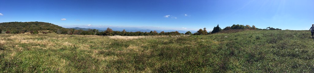 Photo: wordjunky, CC BY 2.0 (via Flickr)
Huckleberry
~12 min drive
A challenging 1.82-mile out-and-back trail in Tennessee's Buffalo Mountain Park, ideal for experienced hikers seeking a difficult backcountry experience.
Yellow Hammer Gap
~6 min drive
3.43-mile out-and-back trail in Tennessee with 1,110 ft elevation gain.
 Photo: Ken Thomas, Public domain (via Wikimedia Commons)
Jenkins Meadow
~4 min drive
A 6.39-mile out-and-back trail in Tennessee that connects to the Haoe Lead and Naked Ground trail system.
Swan Cabin
~9 min drive
Swan Cabin is a 0.74-mile out-and-back trail in North Carolina with 59 ft of elevation gain.

