Shriver Peak Road
Montana
Free — you'll pick up right here.
4.5 mi
Distance
33 ft
Gain
1h 30m
Time
Conditions: Blocked
for hike, todayAn agency closure order is in effect for this area; weather is good
2 factors · 2 sources
Newest 3 h ago · oldest 3 h
problem: Agency alerts
18 active alerts in Custer Gallatin National Forest; most severe: NFSR #1700 South Plateau Road Closure
USFSPosted Oct 2 · checked 3 h ago
clear: Weather
Clouds, high 62°F / low 26°F, 0% precip — 97/100 for hike
OpenWeather3 h ago
Been out here in the last few days? One report keeps this current for everyone.
Why you'll love it
Here's your day, mapped
Shriver Peak Road
Suggested plan · check conditions before you go
Meals
Gear for the day
Elevation & route
- Distance
- 4.5 mi
- Elevation gain
- 33 ft
- Highest point
- 8,792 ft
- Lowest point
- 8,581 ft
Photos
Directions & GPX
Permits & access
- Managing agency
- Forest Service
- Bikes
- yes
About this trail
Shriver Peak Road is a 4.46-mile out-and-back trail in Montana with 33 feet of elevation gain. The trail is managed by the Forest Service.
Add to a trip & share
Keep exploring — more trails worth the drive
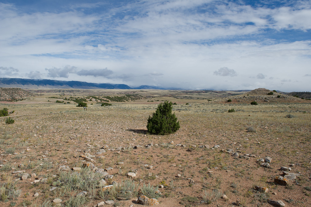 Photo: Greg_Hanson, CC BY 2.0 (via Flickr)
Upper Layout Creek Trail
~19 min drive
Upper Layout Creek Trail: Hard, 1.8 Miles Round Trip 780 feet elevation gain Erastus T. Ewing came to Bighorn Canyon looking for gold. Finding none he decided to try his hand at ranching. He knew that to make it in this arid land he would need water. In 1897, he filed to appr…
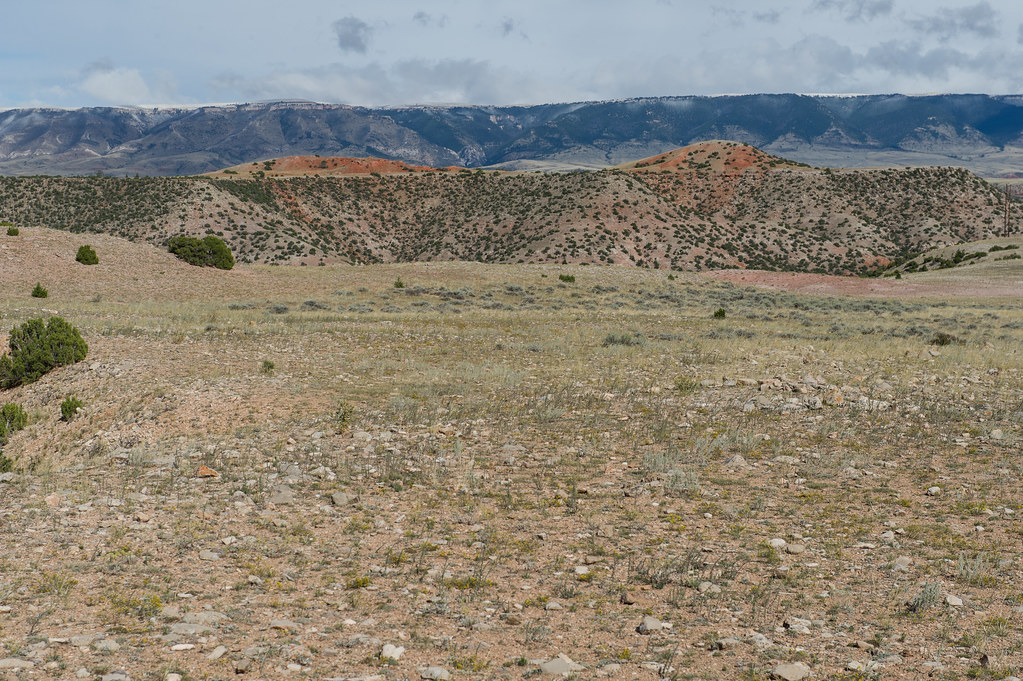 Photo: Greg_Hanson, CC BY 2.0 (via Flickr)
Lower Layout Creek
~22 min drive
0.54-mile loop trail in Montana with 133 ft elevation gain.
Big Pryor
~9 min drive
8.21-mile out-and-back trail in Montana with 2,455 ft elevation gain.
null
~22 min drive
9.94-mile out-and-back trail in Montana with 5,031 ft elevation gain.
Lower Layout Creek Trail
~20 min drive
Lower Layout Creek Trail: Easy to Moderate, 3.4 Miles Round Trip The Lower Layout Creek trailhead is located at the cattle guard that marks the northern end of the Pryor Mountain Wild Horse Range. At the cattle guard, park on either side of the road making sure you are not bl…
 Photo: Mobilus In Mobili, CC BY-SA 2.0 (via Flickr)
Sullivans Knob
~24 min drive
0.51-mile lollipop trail in Montana with 339 ft elevation gain.
Pumpkin Creek
~1h drive
15.26-mile out-and-back trail in Wyoming with 2,194 ft elevation gain.
South Pasture
~22 min drive
9.94-mile out-and-back trail in Montana with 5,031 ft elevation gain.
Photo: Greg_Hanson, CC BY 2.0 (via Flickr)Two Eagles Interpretive Trail
~21 min drive
Two Eagles Interpretive Trail: Easy, Handicapped accessible, 0.25 Miles Round Trip The site has been used by Native Americans for over 10,000 years. In the vicinity of the trail there are more than 140 stone circles. The stones were used by tribal families to hold down the ed…
Photo: Mobilus In Mobili, CC BY-SA 2.0 (via Flickr)DCO Ridge
~24 min drive
1.36-mile out-and-back trail on DCO Ridge in Montana with 249 ft gain/loss
