Pine Hollow Lakeside Resort & RV Park
Kayaking business nearby (~27 mi away) — hasn't claimed their Roamze page yet
Rhododendron, Oregon
Free — you'll pick up right here.
We won't guess. Here is exactly what we do and don't know.
What we do know
Inside Mt. Hood National Forest
3 managing-area boundaries mapped — agency alerts for them feed this page automatically.
Boundary data
What's missing
No access route mapped
We don't yet know which road reaches this trailhead, so we can't tell you if it's gated.
Nobody's filed a report here yet — be the first.
Why you'll love it
Long-term averages modeled by USGS (NHDPlus HR), not today's conditions. Check a gauge before you go.
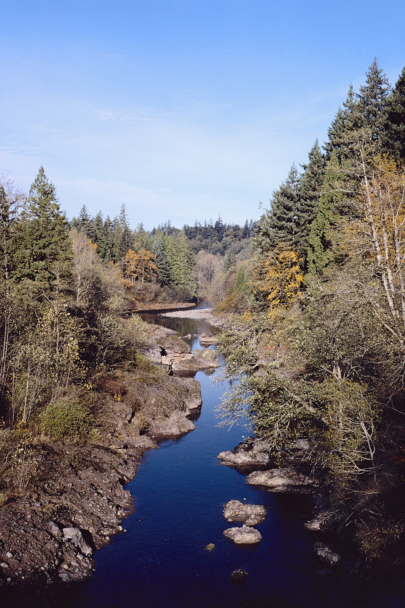
Sandy River
Suggested plan · check conditions before you go
Sandy River is an 8-mile paddling stretch near Rhododendron, Oregon. It flows year-round. USGS models an average flow of about 2,371 cfs and a gradient of about 351.6 feet per mile. Land along it is managed by the U.S. Forest Service.
Source: Wilderness.net boundaries; USFS EDW boundaries; USGS PAD-US 4.1
Active alerts for Zigzag Ranger District as of Oct 9, 2026:
Tamarack Quarry closed beginning Sept. 1
caution · posted Sep 28, 2026
information · posted Aug 24, 2026
Source: USFS forest alerts
Source: Roamze catalog (indexable pages within 10 miles, PostGIS distance)
 Photo: EncMstr, CC BY-SA 3.0 (via Wikimedia Commons)
Salmon River
~17 min drive
Salmon River is a 24-mile paddling stretch near Rhododendron, Oregon. It flows year-round. USGS models an average flow of about 302 cfs and a gradient of about 123.1 feet per mile. Land along it is managed by the U.S. Forest Service.
Lost Lake Boat Ramp
~13 min drive
Lost Lake Boat Ramp is a boat launch in Oregon.
Lockaby
~38 min drive
A worthwhile stop near Oregon.
 Photo: Cacophony, CC BY-SA 3.0 (via Wikimedia Commons)
White River
~24 min drive
White River is a 19-mile paddling stretch near Maupin, Oregon. It flows year-round. USGS models an average flow of about 516 cfs and a gradient of about 174.4 feet per mile. Land along it is managed by the U.S. Forest Service.
Beacon Rock Boat Ramp
~33 min drive
Beacon Rock Boat Ramp is a boat launch in Washington.
Armstrong
~38 min drive
A worthwhile stop near Oregon.
 Photo: U.S. Forest Service- Pacific Northwest Region, Public domain (via Wikimedia Commons)
Zigzag River
~8 min drive
Zigzag River is a 10-mile paddling stretch near Government Camp, Oregon. It flows year-round. USGS models an average flow of about 264 cfs and a gradient of about 309.2 feet per mile. Land along it is managed by the U.S. Forest Service.
Hole In The Wall Boating Site
~37 min drive
A worthwhile stop near Oregon.
Fish Creek
~39 min drive
A worthwhile stop near Oregon.
 Photo: Finetooth, CC BY-SA 3.0 (via Wikimedia Commons)
Bull Run River
~17 min drive
Bull Run River is a 12-mile paddling stretch near Corbett, Oregon. It flows year-round. USGS models an average flow of about 995 cfs and a gradient of about 209.7 feet per mile. Land along it is managed by the U.S. Forest Service.
Also worth it near here
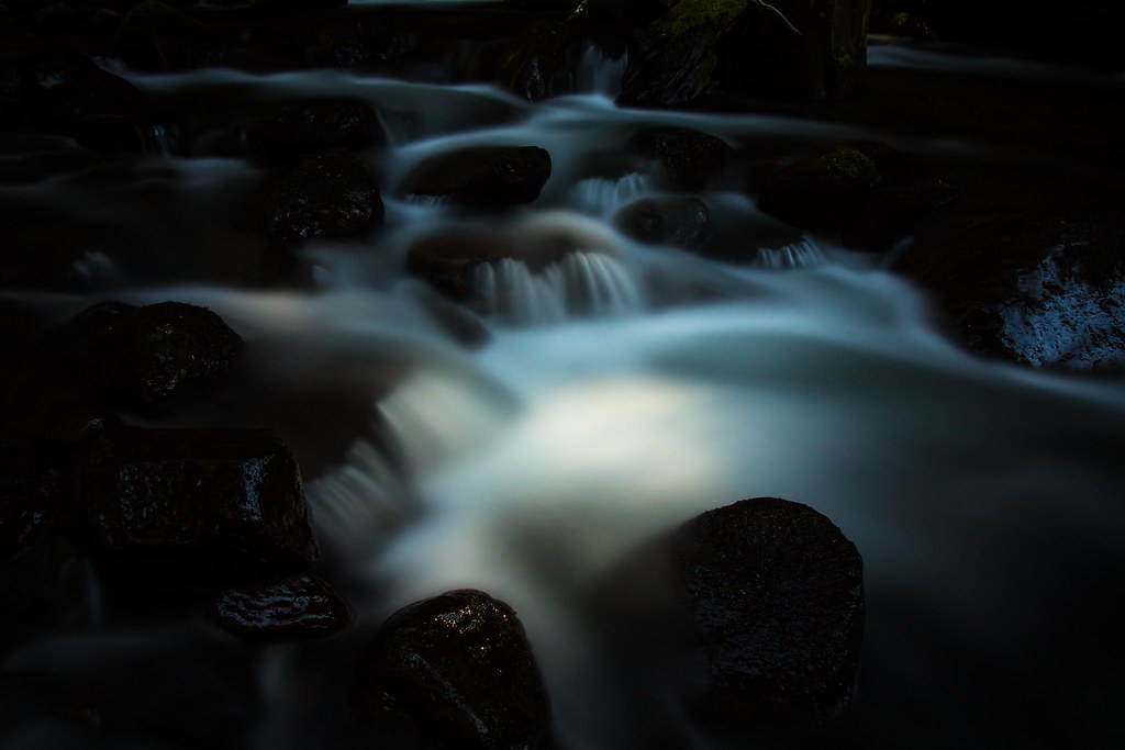 Photo: LukeDetwiler, CC BY 2.0 (via Flickr)
BURNT LAKE NORTH
~1 min drive
 Photo: Howard Kang, CC BY-SA 2.0 (via Wikimedia Commons)
Ramona Falls
~3 min drive
Portable Toilet
~4 min drive
 Photo: U.S. Forest Service- Pacific Northwest Region, Public domain (via Wikimedia Commons)
Zigzag Mountain
~5 min drive
 Photo: U.S. Forest Service- Pacific Northwest Region, Public domain (via Wikimedia Commons)
PCT: Mt Hood
~6 min drive
Local operators near Rhododendronoffering guided trips. You book directly with them — Roamze doesn’t take a cut.
Pine Hollow Lakeside Resort & RV Park
Kayaking business nearby (~27 mi away) — hasn't claimed their Roamze page yet
eNRG Kayaking
Kayaking business nearby (~38 mi away) — hasn't claimed their Roamze page yet
Portland Kayak Company
Kayaking business nearby (~42 mi away) — hasn't claimed their Roamze page yet
