

Truckee River Rafting
Kayaking business nearby (~45 mi away) — hasn't claimed their Roamze page yet
Downieville, California
Free — you'll pick up right here.
Agency alerts are in effect for this area; weather is good
2 factors · 2 sources
Newest 6 h ago · oldest 6 h
caution: Agency alerts
21 active alerts in Tahoe National Forest; most severe: Stage 1 Fire Restrictions
USFSPosted Oct 9 · checked 6 h ago
clear: Weather
Clear, high 73°F / low 56°F, 0% precip — 100/100 for canoeing
OpenWeather6 h ago
Been out here in the last few days? One report keeps this current for everyone.
Why you'll love it
Long-term averages modeled by USGS (NHDPlus HR), not today's conditions. Check a gauge before you go.
Pauley Creek
Suggested plan · check conditions before you go
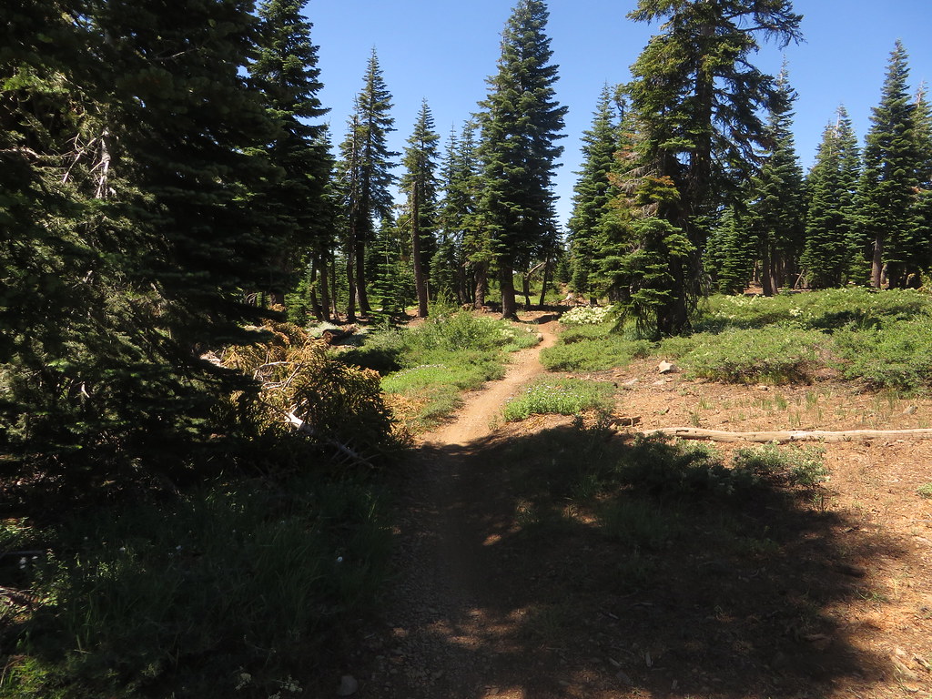
Pauley Creek is a 15-mile paddling stretch near Downieville, California. It is intermittent and may run dry in some seasons. USGS models an average flow of about 100 cfs and a gradient of about 258.0 feet per mile. Land along it is managed by the U.S. Forest Service.
 Photo: Ken Lund, CC BY-SA 2.0 (via Wikimedia Commons)
Downie River
~7 min drive
Downie River is a 6.8-mile paddling stretch near Downieville, California. It flows year-round. USGS models an average flow of about 283 cfs and a gradient of about 138.8 feet per mile. Land along it is managed by the U.S. Forest Service.
Salmon Lake -Boat Ramp
~11 min drive
A worthwhile stop near California.
Berger
~10 min drive
A worthwhile stop near California.
Lavezzola Creek
~3 min drive
Lavezzola Creek is a 13-mile paddling stretch near Downieville, California. It flows year-round. USGS models an average flow of about 112 cfs and a gradient of about 229.7 feet per mile. Land along it is managed by the U.S. Forest Service.
Gold Lake Boat Ramp
~12 min drive
Gold Lake Boat Ramp is a boat launch in California.
Jim Crow Creek
~10 min drive
Jim Crow Creek is a 4.1-mile paddling stretch near Downieville, California. It flows year-round. USGS models an average flow of about 38 cfs and a gradient of about 411.5 feet per mile. Land along it is managed by the U.S. Forest Service.
Little Grass Valley Reservoir Recreation Area Boating Site
~24 min drive
A worthwhile stop near California.
Little Canyon Creek
~14 min drive
Little Canyon Creek is a 7.8-mile paddling stretch near Downieville, California. It flows year-round. USGS models an average flow of about 48 cfs and a gradient of about 212.6 feet per mile. Land along it is managed by the U.S. Forest Service.
Pass Creek Boat Ramp
~24 min drive
A worthwhile stop near California.
Frazier Creek
~17 min drive
Frazier Creek is a 6.5-mile paddling stretch near Graeagle, California. It is intermittent and may run dry in some seasons. USGS models an average flow of about 31 cfs and a gradient of about 312.2 feet per mile. Land along it is managed by the U.S. Forest Service.
Also worth it near here
Local operators near Downievilleoffering guided trips. You book directly with them — Roamze doesn’t take a cut.
Truckee River Rafting
Kayaking business nearby (~45 mi away) — hasn't claimed their Roamze page yet
Obexer's Boat Company
Kayaking business nearby (~49 mi away) — hasn't claimed their Roamze page yet
