
Maroon Bells Guide and Outfitters
Hiking business nearby (~29 mi away) — hasn't claimed their Roamze page yet
Colorado
Free — you'll pick up right here.
10.3 mi
Distance
4,392 ft
Gain
Final 0.5 mi off-trail
No mapped path. Route-finding required. It climbs about 1,135 ft. The dashed line is a straight-line guide, not a route.
An agency closure order is in effect for this area; weather is good
2 factors · 2 sources
Newest 8 h ago · oldest 9 h
problem: Agency alerts
56 active alerts in White River National Forest; most severe: Eagle-Thomasville (400), Burnt Mtn (506), plus NFSR 414 and 416 openings delayed to June 16
USFSPosted Jun 13 · checked 9 h ago
clear: Weather
Clear, high 58°F / low 32°F, 32% precip — 87/100 for hike
OpenWeather8 h ago
Been out here in the last few days? One report keeps this current for everyone.
Why you'll love it
Whitney Peak
Suggested plan · check conditions before you go
Profile ends where the mapped trail ends. The last 0.5 mi is off-trail.
Whitney Peak rises to 13,258 ft in Colorado. This route starts at Holy Cross City Trailhead and covers 10.3 miles round trip with about 4,392 ft of climbing. The mapped trail ends 0.5 miles and about 1,135 ft short of the summit; the final stretch is off-trail with no mapped path and needs route-finding.
 Photo: kalestews, CC BY 2.0 (via Flickr)
Halo Ridge Trail
~8 min drive
5.38-mile out-and-back trail in Colorado with 2,837 ft elevation gain and loss.
 Photo: Jeffrey Beall, CC BY-SA 2.0 (via Flickr)
Mitchell Creek Old Railroad
~11 min drive
1.44-mile out-and-back trail on Mitchell Creek Old Railroad in Colorado
 Photo: KimonBerlin, CC BY-SA 2.0 (via Flickr)
JACKAL HUT VIA RANCH CREEK
~13 min drive
5.12-mile out-and-back trail in Colorado with 2,414 ft elevation gain/loss.
West Tennessee Lakes
~9 min drive
6.66-mile out-and-back trail in Colorado with 918 ft elevation gain.
Savage Peak
~3 min drive
Route to the summit of Savage Peak (13,031 ft) from Missouri Lakes Trailhead.
 Photo: kalestews, CC BY 2.0 (via Flickr)
Notch Mountain
~11 min drive
3.08-mile out-and-back trail in Colorado with 2,361 ft gain/loss and 12,993 ft max elevation.
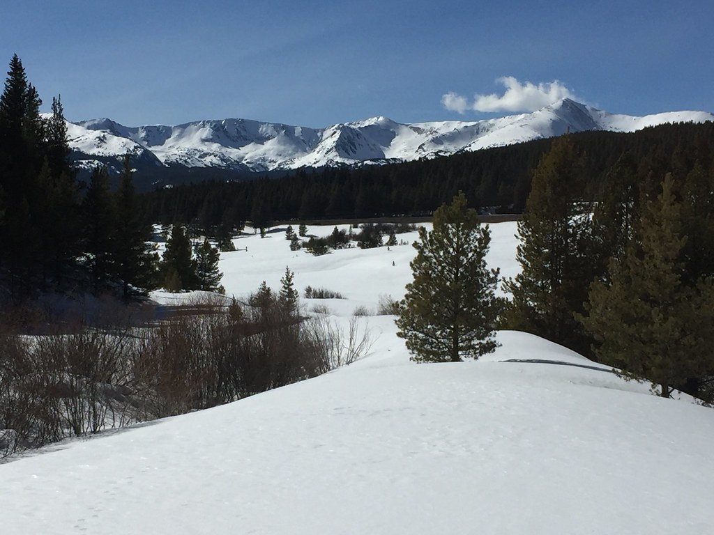 Photo: C. K. Hartman, CC BY 2.0 (via Flickr)
Powderhound Loop Ski Trail
~12 min drive
1.52-mile out-and-back ski trail in Colorado with 321 ft elevation gain
 Photo: Altitude10k, CC BY 2.0 (via Flickr)
GLACIER CREEK/SKINNER HUT
~15 min drive
3.74-mile out-and-back trail in Colorado with 1,343 ft elevation gain and loss.
Longs Gulch
~9 min drive
3.9-mile out-and-back trail in Colorado with 603 ft elevation gain.
Lonesome Lake
~4 min drive
10.35-mile out-and-back trail in Colorado with 1,593 ft elevation gain.
© openrouteservice.org by HeiGIT | Map data © OpenStreetMap contributors
Local operatorsoffering guided trips. You book directly with them — Roamze doesn’t take a cut.
Maroon Bells Guide and Outfitters
Hiking business nearby (~29 mi away) — hasn't claimed their Roamze page yet
Rancho Del Rio
Hiking business nearby (~35 mi away) — hasn't claimed their Roamze page yet
Arrowhead Point Campground and Cabins
Hiking business nearby (~39 mi away) — hasn't claimed their Roamze page yet
