
dam buttress, The
Stanley, Idaho
Free — you'll pick up right here.
Conditions: Caution
for climbing area, todayAgency alerts are in effect for this area; weather is good
2 factors · 2 sources
Newest 17 h ago · oldest 17 h
caution: Agency alerts
11 active alerts in Sawtooth National Forest; most severe: Stinson Creek Prescribed Burn Restricted Access
USFSPosted Oct 3 · checked 17 h ago
clear: Weather
Clear, high 71°F / low 38°F, 0% precip — 98/100 for climbing area
OpenWeather17 h ago
Been out here in the last few days? One report keeps this current for everyone.
At a glance
Routes (7)
Here's your day at the crag, mapped
dam buttress, The
Suggested plan · check conditions before you go
Photos
Directions & GPX
About this crag
Dam Buttress is a climbing area in Idaho with 7 routes. It offers sport and trad climbing options.
Facts about this crag
When to go
Typical monthly averages (not a forecast) from the Stanley, ID weather station, 10 mi away. High / low in °F.
- Jan26° high-3° low
- Feb33° high-1° low
- Mar43° high9° low
- Apr50° high18° low
- May60° high26° low
- Jun69° high31° low
- Jul80° high34° low
- Aug79° high32° low
- Sep70° high25° low
- Oct56° high19° low
- Nov38° high10° low
- Dec25° high-2° low
Where it is
- Sawtooth National Recreation Area · Ranger district
- Sawtooth National Forest · National forest
- Managed by
- Forest Service
Conditions
Active alerts for Sawtooth National Forest as of Oct 9, 2026:
Stinson Creek Prescribed Burn Restricted Access
caution · posted Oct 5, 2026
Public Safety – Occupancy and Use
information · posted Sep 11, 2026
Occupancy and Use - Food Storage
caution · posted Aug 24, 2026
information · posted Aug 24, 2026
Hemingway-Boulders and Cecil D. Andrus-White Clouds Wilderness Areas - Occupancy and Use
information · posted Aug 24, 2026
Sawtooth Wilderness Area Occupancy and Use
information · posted Aug 24, 2026
Over-Snow Vehicle and Bicycle Prohibitions
caution · posted Aug 24, 2026
Sawtooth National Recreation Area - Occupancy and Use
information · posted Aug 24, 2026
Boating, Swimming, and Salmon River Corridor Use Prohibitions
information · posted Aug 24, 2026
information · posted Aug 24, 2026
Source: USFS forest alerts
Nearby
- towers at 202, TheRock climbing0.1 mi
- CUSTER TRAIL, RD #013, #070 -WHiking0.3 mi
- Elk Creek CgCamping0.7 mi
- Blind Creek CampgroundCamping1 mi
- Yankee Fork CragRock climbing1.3 mi
- Warm Springs CreekHiking3.4 mi
- Basin CreekCanoeing7.6 mi
- West Fork Yankee ForkCanoeing8.8 mi
Source: Roamze catalog (indexable pages within 10 miles, PostGIS distance)
Add to a trip & share
Keep exploring — more climbs worth the drive
Photo: tinosa, Public domain (via Wikimedia Commons)towers at 202, The
~0 min drive
11-route climbing area in Idaho with mixed, sport, and trad styles.
 Photo: Fredlyfish4 at English Wikipedia, CC BY-SA 3.0 (via Wikimedia Commons)
Roundabout Boulder
~20 min drive
Roundabout Boulder in Idaho has 9 bouldering routes across 8 grades.
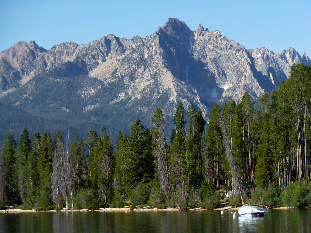 Photo: treegrow, CC BY 2.0 (via Flickr)
Redfish Lake Bouldering
~22 min drive
Redfish Lake Bouldering in Idaho has 2 bouldering routes with mixed protection.
Yankee Fork Crag
~2 min drive
Yankee Fork Crag in Idaho has 6 climbing routes with sport and trad options.
Central Idaho
~24 min drive
Central Idaho is an Idaho climbing crag with 17 routes across 12 grades.
The. Old sawmill slabs
~25 min drive
13 routes at The Old sawmill slabs in Idaho span 7 difficulty grades, offering sport and trad climbing.
Elephant's Perch, The
~31 min drive
Elephant's Perch in Idaho has 18 routes with 15 difficulty grades.
Baron Spire aka Old Smoothie
~34 min drive
Baron Spire (Old Smoothie) in Idaho has 5 climbing routes with alpine no fixed protection.
Billy Goat Buttress
~54 min drive
Billy Goat Buttress in Idaho has 6 climbing routes rated on 5 difficulty grades.
Lost River Range
~1h 19m drive
Lost River Range in Idaho has 10 climbing routes with 9 difficulty grades.
