
Riverpond Campground
Hiking business nearby (~21 mi away) — hasn't claimed their Roamze page yet
Idaho
Free — you'll pick up right here.
1.9 mi
Distance
1,207 ft
Gain
1h 9m
Time
No agency boundary, access route or field report is mapped to it — so there is no verdict, and we won't guess. We'll tell you the moment this trail has something to say.
Covered nearby
Trails within 25 miles where we do have a current picture.
Nobody's filed a report here yet — be the first.
Why you'll love it
Charcoal Gulch Trail
Suggested plan · check conditions before you go
Charcoal Gulch Trail is a 3.78-mile out-and-back route in Idaho with 1,207 feet of elevation gain and loss. The trail reaches a maximum elevation of 4,784 feet.
It rolls up and down the whole way rather than holding one long climb.
Source: Roamze elevation profile and trail geometry (DEM samples along the mapped route)
Typical monthly averages (not a forecast) from the Idaho City, ID weather station, 1.3 mi away. High / low in °F.
Source: USGS PAD-US 4.1
Source: Roamze catalog (indexable pages within 10 miles, PostGIS distance)
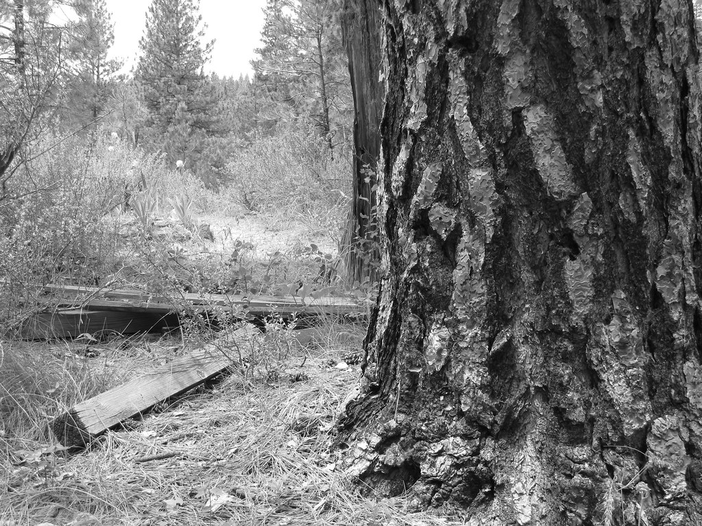
Photo: Fokket, CC BY 2.0 (via Flickr)Buena Vista Trail
~0 min drive
1.44-mile loop in Idaho with 204 ft gain and 254 ft loss.
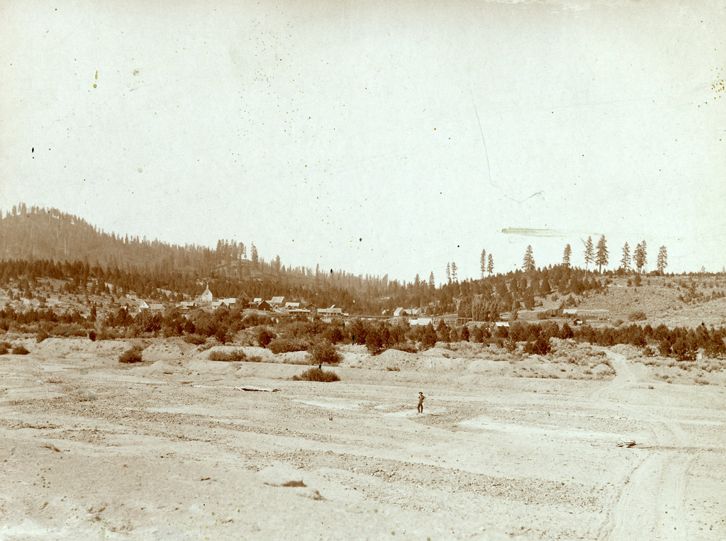 Photo: waterarchives, CC BY-SA 2.0 (via Flickr)
Granite Ck Interpretive
~5 min drive
0.84-mile out-and-back trail in Idaho with 31 ft of elevation gain.
BEAR RUN/PILOT PEAK
~3 min drive
32.84-mile out-and-back trail in Idaho with 4,502 ft elevation gain and loss.
Johnny Woods-Placer Creek Trail
~8 min drive
4.84-mile out-and-back trail in Idaho with 1,601 ft elevation gain and loss.
#662 Easter Creek
~11 min drive
8.72-mile out-and-back trail in Idaho with 2,870 ft elevation gain and loss.
Photo: waterarchives, CC BY-SA 2.0 (via Flickr)UPPER MORES CREEK
~3 min drive
2.38-mile out-and-back trail at Upper Mores Creek in Idaho
RABBIT CREEK LOOP
~14 min drive
37.62-mile out-and-back out-and-back in Idaho with 7,922 ft elevation gain/loss
Middle Rabbit Trail
~14 min drive
3.04-mile out-and-back trail in Idaho with 1,768 ft elevation gain.
RABBIT CREEK LOOP
~13 min drive
11.32-mile out-and-back out-and-back in Idaho with 4,213 ft elevation gain/loss.
Photo: waterarchives, CC BY-SA 2.0 (via Flickr)Steamboat Trail
~3 min drive
2.34-mile out-and-back trail in Idaho with 800 ft gain/loss and a max elevation of 4,278 ft.
Map and trail data © OpenStreetMap contributors
Local operatorsoffering guided trips. You book directly with them — Roamze doesn’t take a cut.
Riverpond Campground
Hiking business nearby (~21 mi away) — hasn't claimed their Roamze page yet
Lake Point Campground
Hiking business nearby (~43 mi away) — hasn't claimed their Roamze page yet
Arrowhead RV Park
Hiking business nearby (~48 mi away) — hasn't claimed their Roamze page yet
