Chapman Creek Cg
California
Free — you'll pick up right here.
No verdict for this campground
We won't guess. Here is exactly what we do and don't know.
What we do know
Inside Tahoe National Forest
2 managing-area boundaries mapped — agency alerts for them feed this page automatically.
Boundary data
What's missing
No access route mapped
We don't yet know which road reaches this trailhead, so we can't tell you if it's gated.
Nobody's filed a report here yet — be the first.
Here's your stay, mapped
Chapman Creek Cg
Suggested plan · check conditions before you go
Gear for the day
Meals
Photos
About this campground
Chapman Creek Campground is located on the North Yuba River along Hwy 49 eight miles north east of Sierra City. There are 27 campsites with piped water and vault toilets. The campground overlooks Chapman Creek and a small meadow. It is surrounded by a forest of lodgepole pines.
Directions & GPX
Facts about this campground
When to go
Typical monthly averages (not a forecast) from the Bowman Dam, CA weather station, 14 mi away. High / low in °F.
- Jan46° high29° low
- Feb47° high28° low
- Mar49° high30° low
- Apr55° high33° low
- May64° high40° low
- Jun73° high47° low
- Jul82° high54° low
- Aug81° high54° low
- Sep77° high51° low
- Oct66° high42° low
- Nov54° high34° low
- Dec45° high29° low
Where it is
- Yuba River Ranger District · Ranger district
- Tahoe National Forest · National forest
- Managed by
- Forest Service
Conditions
Active alerts for Tahoe National Forest as of Oct 9, 2026:
information · posted Oct 5, 2026
fire-restriction · posted Sep 28, 2026
information · posted Sep 25, 2026
Hoke Valley- Forest Road 860-07 (17E11 Trail) Closed
information · posted Aug 24, 2026
Highway 20 Area Camping Restrictions
information · posted Aug 24, 2026
Camping and Campfire Restrictions-Truckee and Sierraville Districts
fire-restriction · posted Aug 24, 2026
Sierraville Ranger District Trail Closure
information · posted Aug 24, 2026
information · posted Aug 24, 2026
14-day Camping Occupancy Restrictions
information · posted Aug 24, 2026
information · posted Aug 24, 2026
Source: USFS forest alerts
Nearby
- Chapman CreekHiking0.1 mi
- SierraCamping0.8 mi
- Haskell Peak TrailHiking1.5 mi
- Yuba PassCamping3 mi
- Warm Up BoulderRock climbing4.9 mi
- Free For All ValleyRock climbing5 mi
- Sulphur CreekCanoeing5.3 mi
- North Yuba RiverCanoeing7.3 mi
Source: Roamze catalog (indexable pages within 10 miles, PostGIS distance)
Add to a trip & share
Keep exploring — more campsites worth the drive
Berger
~9 min drive
A worthwhile stop near California.
 Photo: Ken Lund — CC BY-SA 2.0 (via Flickr)
Sardine Lake Campground
~7 min drive
Sardine Lake Campground is a campground in California at about 5,731 feet. It is managed by the U.S. Forest Service.
Calpine Lookout
~10 min drive
A worthwhile stop near California.
Lakes Basin
~11 min drive
A worthwhile stop near California.
Deadman Lake
~1 min drive
Deadman Lake is a campground in California with 10 sites.
Sierra
~1 min drive
A worthwhile stop near California.
Shaffer's High Sierra Camp
~2 min drive
Shaffer's High Sierra Camp is a campground in California at about 6,170 feet. It is managed by the U.S. Forest Service.
Chapman
~2 min drive
Chapman is a campground in California with 25 sites.
Beartrap
~4 min drive
Beartrap is a campground in California with 20 sites.
Lunch Creek
~4 min drive
Lunch Creek is a campground in California with 10 sites.
Also worth it near here
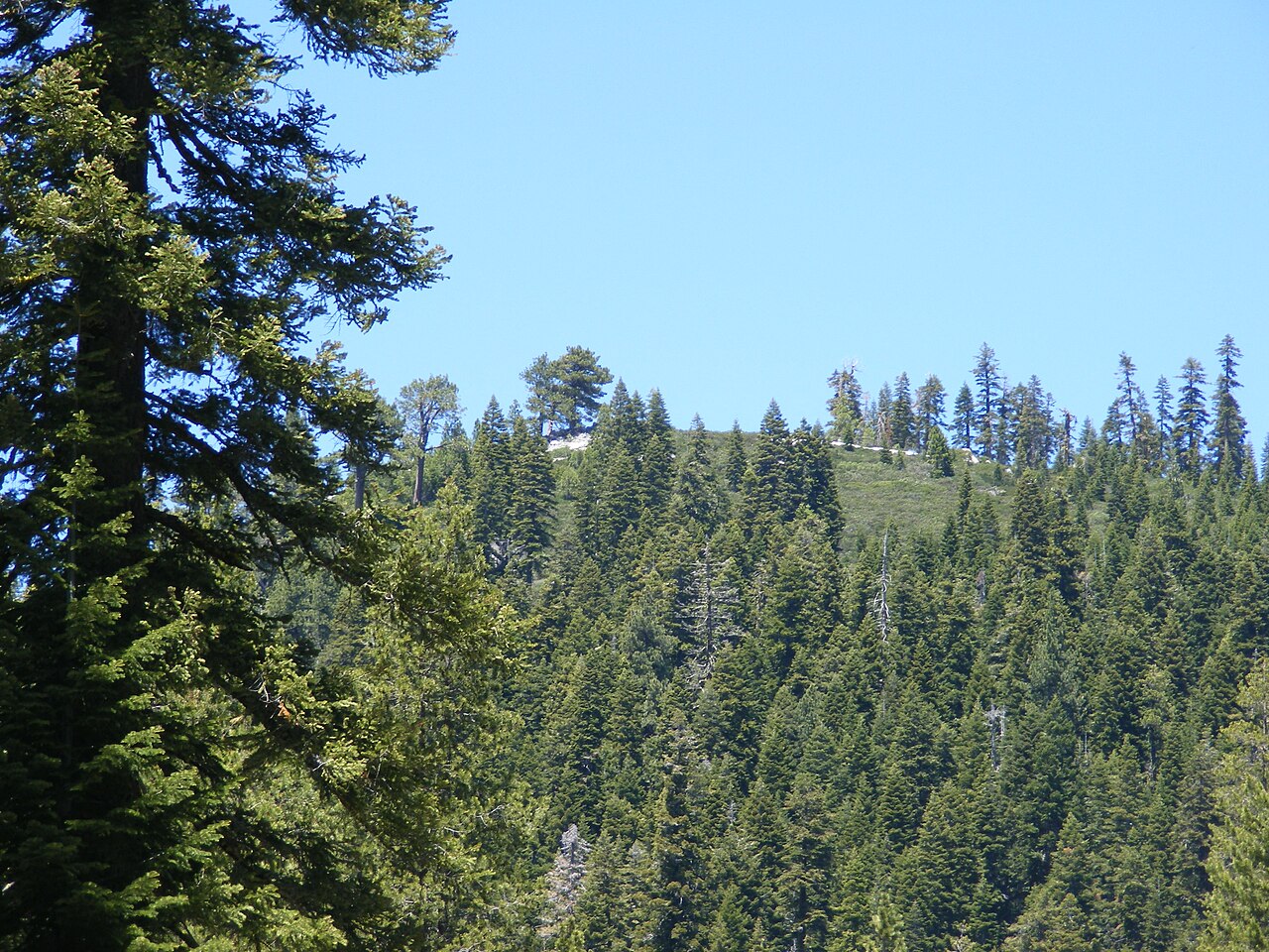 Photo: Pmschroeder, CC BY-SA 3.0 (via Wikimedia Commons)
Schroeder Mountain
~1 min drive
Restroom
~5 min drive
Lunch Creek Nordic
~5 min drive
 Photo: Charlie Pankey, CC BY-SA 4.0 (via Wikimedia Commons)
Packer Lake Snowmobile Tr
~7 min drive
 Photo: Ken Lund, CC BY-SA 2.0 (via Flickr)
Sand Pond Interpretive
~7 min drive
