Rancho Sedona RV Park
Mountain Biking business nearby (~43 mi away) — hasn't claimed their Roamze page yet
Arizona
Free — you'll pick up right here.
0.1 mi
Distance
47 ft
Gain
5 min
Time
We won't guess. Here is exactly what we do and don't know.
What we do know
Inside Prescott National Forest
National Forest boundary is mapped — agency alerts for it feed this page automatically.
Boundary data
What's missing
No access route mapped
We don't yet know which road reaches this trailhead, so we can't tell you if it's gated.
Nobody's filed a report here yet — be the first.
Why you'll love it
Lynx Lake Loop D
Suggested plan · check conditions before you go
Lynx Lake Loop D is a 0.15-mile trail at Bigelow Peak in Arizona with 62 feet of elevation gain. The route is managed by the Forest Service as part of the Bigelow Peak trail system.
Source: Roamze elevation profile and trail geometry (DEM samples along the mapped route)
Active alerts for Bradshaw Ranger District as of Oct 9, 2026:
Prescott National Forest Pile Burning Planned Through October
information · posted Oct 1, 2026
Prohibition on Non-Equestrian Camping, Groom Creek Horse Camp
information · posted Sep 22, 2026
Prescott National Forest Pile Burning through August
information · posted Aug 31, 2026
Towers Mountain Road (NFSR 52C) Temporary Closure
information · posted Aug 24, 2026
NFS Road 373 Closure for Special Event
information · posted Aug 24, 2026
Hand-thinning begins in the Bradshaw Ranger District
information · posted Aug 24, 2026
Broadcast Burning Planned on the Bradshaw Ranger District (Ponderosa Park)
information · posted Aug 24, 2026
Winter pile burning planned on the Bradshaw RD
information · posted Aug 24, 2026
Winter pile burning continues on the Bradshaw RD
information · posted Aug 24, 2026
Source: USFS forest alerts
Source: Roamze catalog (indexable pages within 10 miles, PostGIS distance)
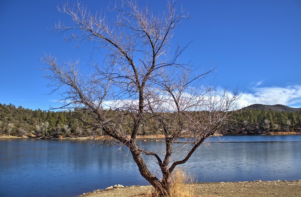
 Photo: gizilich, CC BY-SA 3.0 (via Wikimedia Commons)
Horsecamp Loop Trail #383
~8 min drive
2.53-mile loop at Bean Peaks in Arizona with 454 ft elevation gain.
Sundog Trail
~5 min drive
5.11-mile intermediate singletrack through classic Arizona desert terrain with moderate technical challenges.
Photo: gizilich, CC BY-SA 3.0 (via Wikimedia Commons)Groom Creek Loop
~8 min drive
9.04-mile loop at Bean Peaks with 1,813 ft elevation gain
Lynx Lake Loop C
~0 min drive
Lynx Lake Loop C is a 0.13-mile trail at Bigelow Peak, Arizona.
Homestead
~0 min drive
Homestead is a 6.69-mile trail at Bigelow Peak with 533 ft of elevation gain.
Lynx Lake Loop F
~0 min drive
0.17-mile loop at Bigelow Peak with 88 ft elevation gain
Lynx Recreation
~1 min drive
1.01-mile trail at Bigelow Peak with 215 ft of elevation gain
Hilltop-Obrians
~1 min drive
0.30-mile trail at Bigelow Peak with 22 ft of elevation gain
Northshore
~1 min drive
Northshore is a 0.29-mile trail in Bigelow Peak, Arizona.
Lynx Spillway
~1 min drive
Lynx Spillway is a 0.24-mile trail at Bigelow Peak, Arizona.
Map and trail data © OpenStreetMap contributors
Local operatorsoffering guided trips. You book directly with them — Roamze doesn’t take a cut.
Rancho Sedona RV Park
Mountain Biking business nearby (~43 mi away) — hasn't claimed their Roamze page yet
