Aqua Fria Trail
WALDEN, Colorado
Free — you'll pick up right here.
2.1 mi
Distance
400 ft
Gain
1h
Time
Conditions: Caution
for hike, todayAgency alerts are in effect for this area; weather is good
2 factors · 2 sources
Newest 21 h ago · oldest 22 h
caution: Agency alerts
9 active alerts in Medicine Bow-Routt National Forest; most severe: Trail & Access Impact: Stillwater Reservoir Project
USFSPosted Aug 24 · checked 22 h ago
clear: Weather
Clear, high 61°F / low 52°F, 36% precip — 86/100 for hike
OpenWeather21 h ago
Been out here in the last few days? One report keeps this current for everyone.
Why you'll love it
Here's your day, mapped
Aqua Fria Trail
Suggested plan · check conditions before you go
Meals
Gear for the day
Elevation & route
- Distance
- 2.1 mi
- Elevation gain
- 400 ft
Photos
Directions & GPX
Permits & access
- Managing agency
- Forest Service
About this trail
Aqua Fria Trail is a 2.15-mile hike in Colorado with 400 feet of elevation gain. The trail follows a route-shape type that is not specified in the data, but the distance and elevation suggest a relatively straightforward outing.
Add to a trip & share
Keep exploring — more trails worth the drive
 Photo: bjwhite66212, CC BY-SA 2.0 (via Flickr)
Ditch Trail
~17 min drive
1.24-mile trail in Colorado with 150 ft elevation gain, follows a ditch.
 Photo: brewbooks, CC BY-SA 2.0 (via Flickr)
Three Island Lake
~19 min drive
11.40-mile out-and-back hike to Three Island Lake in Colorado's Medicine Bow-Routt National Forest.
Soda Mountain Trail
~13 min drive
7.59-mile trail in Colorado with 1,800 ft elevation gain.
 Photo: brewbooks from near Seattle, USA, CC BY-SA 2.0 (via Wikimedia Commons)
Bear Lakes
~20 min drive
2.13-mile out-and-back trail to Bear Lakes in Colorado with 30 ft of elevation gain.
 Photo: brewbooks, CC BY-SA 2.0 (via Flickr)
Gold Creek Lake
~20 min drive
14.26-mile out-and-back trail to Gold Creek Lake in Colorado's Medicine Bow-Routt National Forest.
Grizzly Helena Trail 1126.1
~19 min drive
9.51-mile trail in Colorado with 1,800 ft of elevation gain.
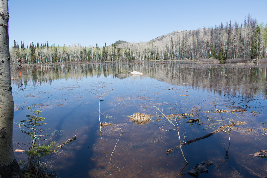 Photo: bjwhite66212, CC BY-SA 2.0 (via Flickr)
Soda Creek Trail
~18 min drive
1.52-mile trail in Colorado with 300 ft elevation gain and creek crossings.
Newcomb Creek
~3 min drive
13.13-mile out-and-back trail in Colorado's Medicine Bow-Routt National Forest with 1,863 ft gain.
Elk Park
~19 min drive
5.30-mile out-and-back trail in Colorado's Medicine Bow-Routt National Forest with 909 ft gain.
Photo: bjwhite66212, CC BY-SA 2.0 (via Flickr)Panorama Trail
~19 min drive
1.23-mile trail in Colorado with 400 ft gain.

Map and trail data © OpenStreetMap contributors
