Loading…

Free — you'll pick up right here.
Watch this trail
Sign up to watch it — saving subscribes you to gate, closure and report changes.
Wyoming
12.7 mi
Distance
1,711 ft
Gain
4h 30m
Time
We won't guess. Here is exactly what we do and don't know.
What we do know
Inside Black Hills National Forest
2 managing-area boundaries mapped — agency alerts for them feed this page automatically.
Boundary data
What's missing
No access route mapped
We don't yet know which road reaches this trailhead, so we can't tell you if it's gated.
Nobody's filed a report here yet — be the first.
Why you'll love it
Snow-E
AI-suggested draft · review before you go
No permit or access details on file for this trail — check with the local land manager before you go.
Snow-E is a 12.7-mile out-and-back trail located in Wyoming. This trail offers hikers a substantial day-hike experience in the Wyoming landscape. The out-and-back format means you'll travel to a destination point and return along the same route, covering approximately 6.35 miles in each direction. The trail is situated in a region that provides access to Wyoming's natural terrain. Whether you're seeking a moderate to challenging hike or looking to explore the area's outdoor offerings, Snow-E accommodates various skill levels depending on trail conditions. Before heading out, be prepared with adequate water and supplies for the full 12.7-mile journey. Check current trail conditions and weather forecasts, as Wyoming weather can change rapidly. The out-and-back format allows flexibility in turning back at any point if needed. This trail is ideal for hikers wanting to experience Wyoming's backcountry in a day trip. Plan for a full day of hiking to complete the route comfortably and safely.

Snow-F1
~1 min drive
5.0 mi · Moderate

Snow-K
~3 min drive
9.6 mi · Hard
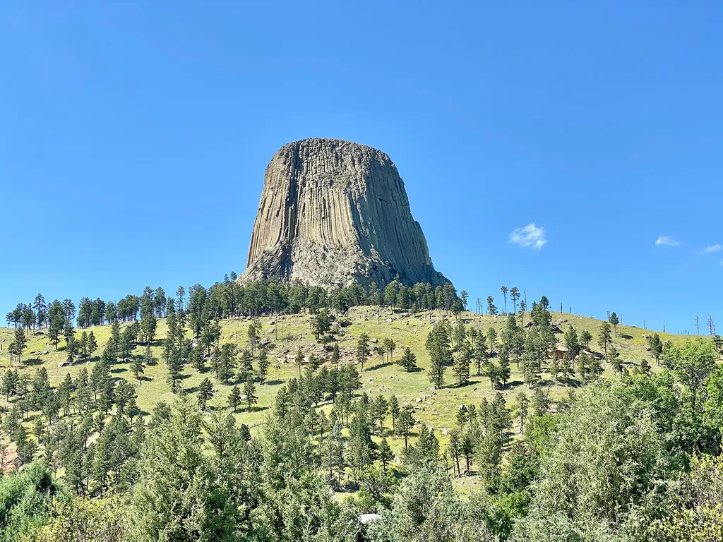
Amphitheater (Devils Tower National Monument)
~23 min drive
<p paraeid="{9df3681c-f9ac-4403-b29d-ccad342e45fe}{147}" paraid="1194666483">The park’s amphitheater is a great place to catch <a href="https://www.nps.gov/deto/planyourvisit/rangerledactivities.htm">ranger programs</a> (in season), have a seat, or <a href="https://www.nps.gov…

South Side Trail
~23 min drive
0.9 mi · Easy
Sundance Sheepnose Mountain
~4 min drive
4.5 mi · Moderate
Snow-B-North
~3 min drive
13 mi · Hard
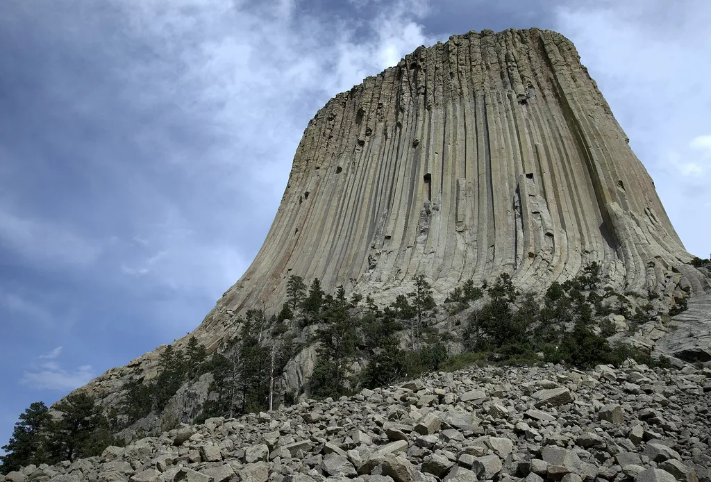
Devils Tower Boulder Field
~24 min drive
<p paraeid="{fc5c9f79-92b8-441a-94e1-4cf376bcbde1}{173}" paraid="827932320">As the first stop on the Tower Trail, the boulder field is the first close-up impression you get of Devils Tower. From the trail, the Tower appears perched atop this giant pile of boulders. Cracks in t…
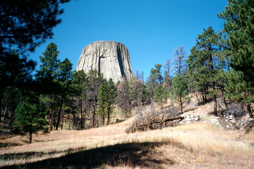
Valley View Trail
~23 min drive
1.1 mi · Easy
Snow-C
~7 min drive
5.2 mi · Moderate
Snow-B-South
~5 min drive
17 mi · Hard

