Loading trail…

Free — you'll pick up right here.
Save this plan
Sign up to save your own editable copy — you'll pick up right here.
Wyoming
35.3 mi
Distance
188 ft
Gain
No conditions check on file for this trail yet — always verify current conditions before you go.
Why you'll love it
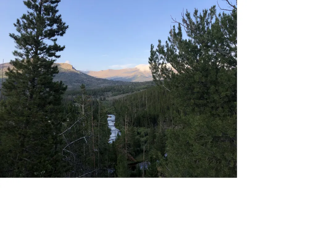
CDT hjf Sweetwater River Route
AI-suggested draft · review before you go
No permit or access details on file for this trail — check with the local land manager before you go.
The CDT hjf Sweetwater River Route is a 17.7-mile out-and-back trail located in Wyoming. This route follows the Continental Divide Trail through the Sweetwater River area, offering hikers access to one of Wyoming's notable water corridors. The trail is suitable for those seeking a longer day hike or backpacking trip in the high desert and mountain terrain characteristic of the region. The out-and-back format allows hikers flexibility in turnaround distance, making it accessible for various skill levels and time constraints. Hikers can explore the Sweetwater River drainage and surrounding landscape, with opportunities to experience the Continental Divide Trail system firsthand. The Sweetwater River area is known for its historical significance along pioneer trails and its role in regional geography. This route provides a moderate to challenging hiking experience with extended mileage through diverse terrain. Bring adequate water and be prepared for Wyoming's weather conditions, which can change rapidly at higher elevations. This trail is best suited for spring through fall travel, though conditions should be verified before heading out.

Silas Lake
~36 min drive
4.2 mi · Easy

Lizard Head
~1h 6m drive
11 mi · Hard
Wild Iris
~23 min drive
3.6 mi · Moderate

Farlow
~56 min drive
1.3 mi · Easy
CDT hje Riverview Road Alternate
~14 min drive
7.3 mi · Hard
Sioux Pass
~30 min drive
3.8 mi · Moderate

Black Joe
~1h 5m drive
3.4 mi · Easy
Christina Pass
~43 min drive
6.3 mi · Hard
Christina Lake
~35 min drive
8.2 mi · Moderate
Sioux Pass Trail
~30 min drive
1.5 mi · Easy