River Bend Trail
Wisconsin
No account needed. We'll keep it on this device.
1.1 mi
Distance
92 ft
Gain
26 min
Time
We don't cover this trail yet
No agency boundary, access route or field report is mapped to it — so there is no verdict, and we won't guess. We'll tell you the moment this trail has something to say.
Covered nearby
Trails within 25 miles where we do have a current picture.
Nobody's filed a report here yet — be the first.
Why you'll love it
Here's your day, mapped
River Bend Trail
Suggested plan · check conditions before you go
Want dates, gear and meals worked out too?
Meals
Gear for the day
Elevation & route
- Distance
- 1.1 mi
- Elevation gain
- 92 ft
- Elevation loss
- 92 ft
- Highest point
- 1,254 ft
- Lowest point
- 1,234 ft
Photos
Directions & GPX
Permits & access
No permit or access details on file for this trail — check with the local land manager before you go.
About this trail
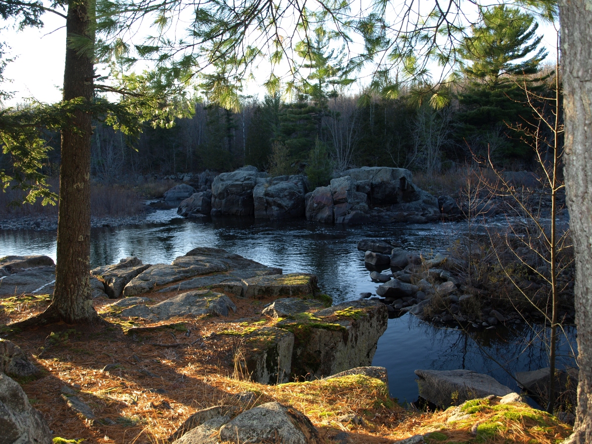
River Bend Trail is a short out-and-back route in Wisconsin that offers a pleasant walk along scenic riverbanks. This easy trail is perfect for families and casual hikers looking for a quick nature escape without significant elevation gain.
Add to a trip & share
Keep exploring — more trails worth the drive
 Photo: pixn8tr, CC BY-SA 2.0 (via Wikimedia Commons)
Iat - Dells of the Eau Claire Segment
~35 min drive
2.55-mile point-to-point trail in Wisconsin with 1,828 ft gain.
Iat - Underdown Segment
~15 min drive
5.95-mile point-to-point trail in Wisconsin with 843 ft gain.
Iat - Underdown-Grandfather Falls Connection
~17 min drive
10.36-mile point-to-point trail in Wisconsin with 812 ft gain
Photo: pixn8tr, CC BY-SA 2.0 (via Wikimedia Commons)Iat - Dells of the Eau Claire-Plover River
~35 min drive
3.49-mile point-to-point trail in Wisconsin with 163 ft gain and 191 ft loss.
Iat - New Wood Segment
~29 min drive
6.55-mile point-to-point trail in Wisconsin with 474 ft elevation gain.
Iat - Harrison Hills Segment
~23 min drive
13.5-mile point-to-point trail through Wisconsin's Harrison Hills region.
River Bend Trail
~2 min drive
Easy riverside out-and-back walk near Wisconsin's scenic waterways.
Yellow Trail
~31 min drive
A 4.7-mile point-to-point trail through Wisconsin woodlands.
Mountain-Bay State Trail
~33 min drive
9.72-mile out-and-back trail in Wisconsin with 396 ft elevation gain.
Iat - Grandfather Falls Segment
~17 min drive
Point-to-point Wisconsin trail featuring waterfall views and forest scenery.
Map and trail data © OpenStreetMap contributors
