
Paddling · 4 spots
Featured spots


All spots · 4 spots
No additional spots match this filter.
Keep exploring — more water worth the drive
South Fork Humboldt River
~8 min drive
South Fork Humboldt River is a 17-mile paddling stretch near Spring Creek, Nevada. It flows year-round. USGS models an average flow of about 136 cfs and a gradient of about 70.0 feet per mile. Land along it is managed by the Bureau of Land Management.
Hamilton Boat Launch
~21 min drive
Hamilton Boat Launch is a boat launch in Nevada.
Smith Creek
~11 min drive
Smith Creek is a 15-mile paddling stretch near Spring Creek, Nevada. It is intermittent and may run dry in some seasons. USGS models an average flow of about 64 cfs and a gradient of about 91.7 feet per mile.
Narciss Boat Ramp
~56 min drive
Narciss Boat Ramp is a boat launch in Nevada.
Huntington Creek
~29 min drive
Huntington Creek is a 60-mile paddling stretch near Spring Creek, Nevada. It is intermittent and may run dry in some seasons. USGS models an average flow of about 200 cfs and a gradient of about 9.0 feet per mile.
Lamoille Creek
~34 min drive
Lamoille Creek is a 34-mile paddling stretch near Spring Creek, Nevada. It is intermittent and may run dry in some seasons. USGS models an average flow of about 177 cfs and a gradient of about 69.4 feet per mile.
Franklin River
~41 min drive
Franklin River is a 43-mile paddling stretch near Ruby Valley, Nevada. It is intermittent and may run dry in some seasons. USGS models an average flow of about 68 cfs and a gradient of about 35.0 feet per mile.
Secret Creek
~49 min drive
Secret Creek is a 27-mile paddling stretch near Lamoille, Nevada. It flows year-round. USGS models an average flow of about 80 cfs and a gradient of about 55.4 feet per mile.
Humboldt River
~50 min drive
Humboldt River is a 58-mile paddling stretch near Elko, Nevada. It is ephemeral and may run dry in some seasons. USGS models an average flow of about 401 cfs and a gradient of about 7.2 feet per mile. Land along it is managed by the Bureau of Land Management.
Pine Creek
~1h 1m drive
Pine Creek is a 60-mile paddling stretch near Crescent Valley, Nevada. It is intermittent and may run dry in some seasons. USGS models an average flow of about 70 cfs and a gradient of about 16.0 feet per mile. Land along it is managed by the Bureau of Land Management.
Starr Creek
~1h 6m drive
Starr Creek is a 4.9-mile paddling stretch near Deeth, Nevada. It is intermittent and may run dry in some seasons. USGS models an average flow of about 59 cfs and a gradient of about 16.8 feet per mile.
Maggie Creek
~1h 6m drive
Maggie Creek is a 51-mile paddling stretch near Carlin, Nevada. It is intermittent and may run dry in some seasons. USGS models an average flow of about 46 cfs and a gradient of about 23.1 feet per mile.
Also worth it near here
Zunino/Jiggs Reservior
~11 min drive
Seitz Lake
~18 min drive
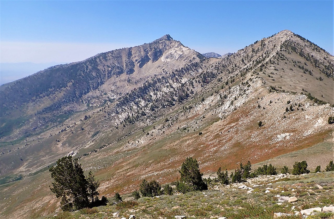 Photo: Matt Lavin, CC BY-SA 2.0 (via Wikimedia Commons)
Tipton Peak
~19 min drive
 Photo: Famartin, CC BY-SA 3.0 (via Wikimedia Commons)
Lamoille Canyon
~22 min drive
 Photo: Famartin, CC BY-SA 3.0 (via Wikimedia Commons)
Ruby Crest National Recreation Trail
~23 min drive
