

Wildcat Mountaineering
Hiking business nearby (~18 mi away) — hasn't claimed their Roamze page yet
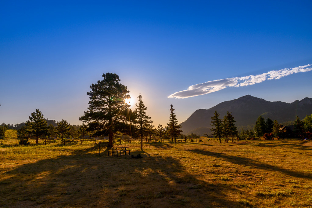
Colorado
Free — you'll pick up right here.
0.5 mi
Distance
117 ft
Gain
Weather is good
1 factor · 1 source
Observed 3 h ago
clear: Weather
Rain, high 64°F / low 51°F, 72% precip — 71/100 for hike
OpenWeather3 h ago
Been out here in the last few days? One report keeps this current for everyone.
Why you'll love it
Utility Area Trails
Suggested plan · check conditions before you go
Utility Area Trails is a short out-and-back trail in Colorado covering 0.92 miles with 117 feet of elevation gain. The trail is managed by the National Park Service.
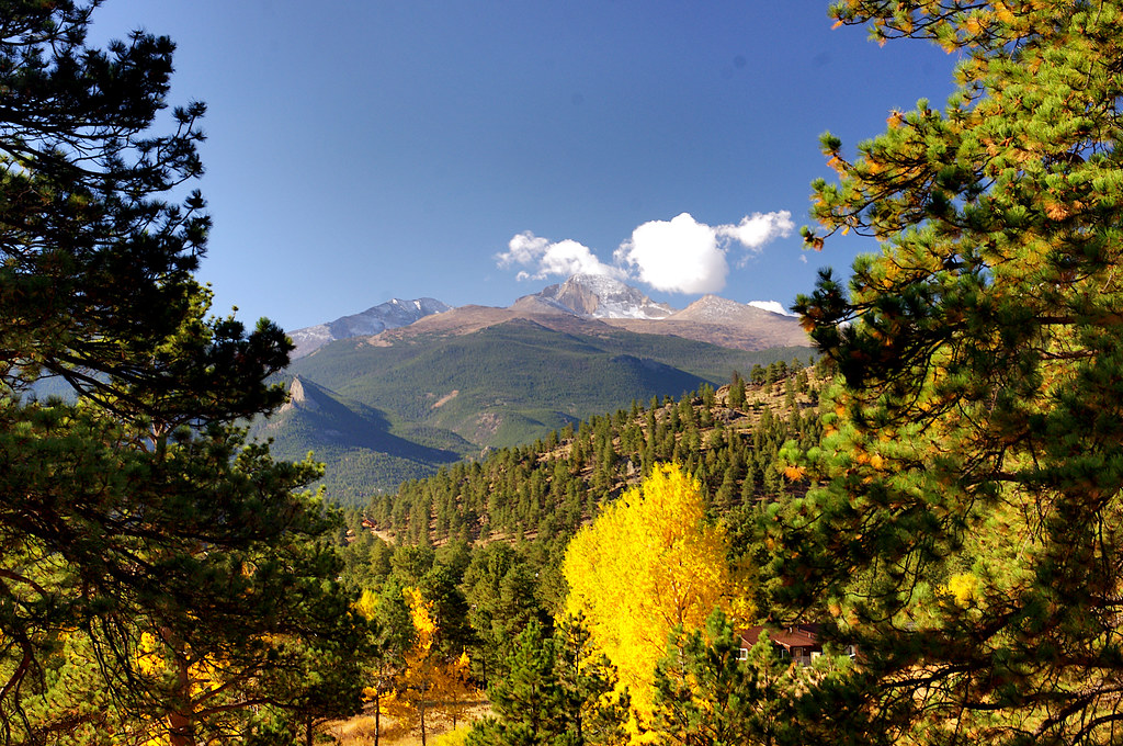 Photo: Juhele_CZ, Public Domain Dedication (CC0) (via Flickr)
Planning Your Winter Trip to Rocky
~0 min drive
For many, winter is their favorite time to visit Rocky Mountain National Park. From late October till late May, blankets of snow gently cover the park's montane meadows and mountain peaks. It's a quieter time of year. Yet the park is alive with activity. This is the time of…
 Photo: NPS, Public domain (via Wikimedia Commons)
Oldman Mountain Trail
~2 min drive
0.74-mile out-and-back hike in Colorado with 231 ft elevation gain.
 Photo: lamblukas, CC BY 2.0 (via Flickr)
Upper Beaver Meadows Trail
~5 min drive
3.68-mile out-and-back hike in Colorado with 809 ft gain/loss.
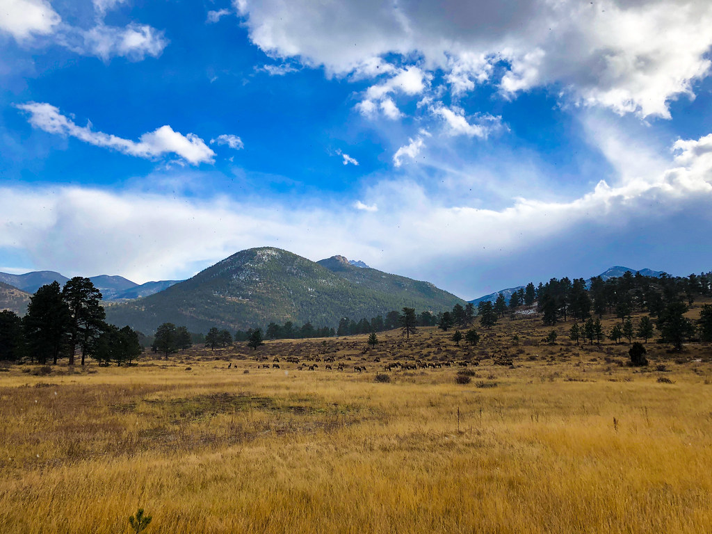 Photo: Osajus Photography, CC BY 2.0 (via Flickr)
RMNP - Overview of Timed Entry Reservations
~1 min drive
Planning a Trip to Rocky This Summer? You Might Need a Timed Entry Reservation Beginning on Friday, May 22, 2026 through mid-October, a timed entry reservation will be required to enter and visit all areas of Rocky Mountain National Park (including outlying areas like Lily…
Photo: NPS, Public domain (via Wikimedia Commons)Deer Mountain Trail
~2 min drive
7.72-mile point-to-point trail in Colorado with 1,800 ft gain and 9,500 ft max elevation.
 Photo: Christian Collins, CC BY-SA 2.0 (via Flickr)
Little Horseshoe Park Trail
~5 min drive
2.6-mile out-and-back hike in Colorado with 635 ft elevation gain
Photo: Osajus Photography, CC BY 2.0 (via Flickr)Buck Creek Trail
~2 min drive
3.62-mile out-and-back hike in Colorado with 437 ft elevation gain.
Moraine Park
~3 min drive
Get awe-inspiring views of the Rocky Mountains! Moraine Park is located and accessed off of Bear Lake Road. Here, you can find trailheads for both Cub Lake and Fern Lake. A relic of geologic history, Moraine Park was carved by ancient glaciers that flowed through the region.…
 Photo: Anne Dirkse, CC BY-SA 4.0 (via Wikimedia Commons)
Beaver Mountain Trail
~6 min drive
2.82-mile trail in Colorado with 600 ft gain, SAC T2 difficulty.
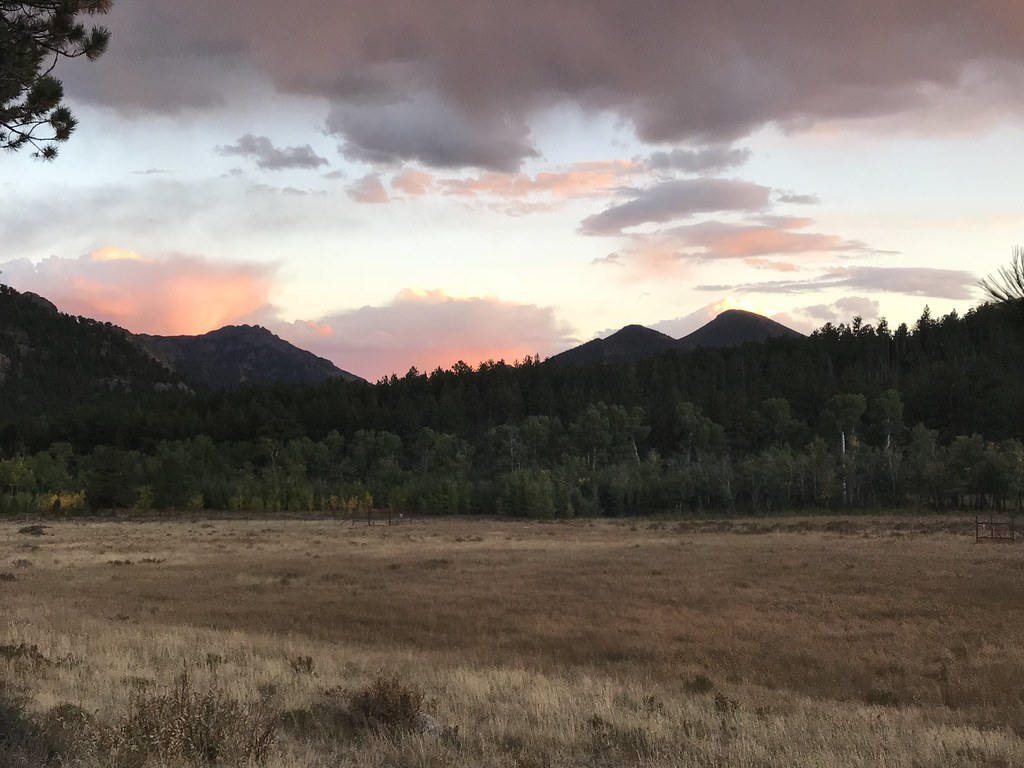 Photo: DrGBB, CC BY 2.0 (via Flickr)
Beaver Meadows Entrance
~2 min drive
Welcome to Rocky Mountain National Park! Enter Rocky Mountain National Park via the Beaver Meadows Entrance. This entrance is the closest entrance to Estes Park.
Local operatorsoffering guided trips. You book directly with them — Roamze doesn’t take a cut.
Wildcat Mountaineering
Hiking business nearby (~18 mi away) — hasn't claimed their Roamze page yet
Alpine Lodge at Red Feather Lakes
Hiking business nearby (~30 mi away) — hasn't claimed their Roamze page yet
Camp Always Choose Adventures
Hiking business nearby (~39 mi away) — hasn't claimed their Roamze page yet
