

Taylor Park Trading Post
Hiking business nearby (~13 mi away) — hasn't claimed their Roamze page yet
Colorado
Free — you'll pick up right here.
184.1 mi
Distance
1,948 ft
Gain
We won't guess. Here is exactly what we do and don't know.
What we do know
Inside Pike and San Isabel National Forests
2 managing-area boundaries mapped — agency alerts for them feed this page automatically.
Boundary data
What's missing
No access route mapped
We don't yet know which road reaches this trailhead, so we can't tell you if it's gated.
Nobody's filed a report here yet — be the first.
Why you'll love it
ADT - Colorado C - Q - Seg 5
Suggested plan · check conditions before you go
The ADT - Colorado C - Q - Seg 5 is a 92-mile out-and-back trail located in Colorado, managed by the American Discovery Trail Society. This segment is part of the larger American Discovery Trail network, which spans thousands of miles across the United States connecting communities and landscapes. As a substantial backcountry route, this 92-mile section offers adventurers an extended wilderness experience through Colorado's diverse terrain. The out-and-back format allows hikers flexibility in trip length, with the option to turn around at any point or complete the full distance for experienced backpackers. The trail provides access to Colorado's natural features and is maintained by the American Discovery Trail Society, a nonprofit organization dedicated to establishing and preserving long-distance trails across America. This segment represents a significant commitment for backcountry travel and is best suited for well-prepared hikers with multi-day backpacking experience. For detailed information about trailhead access, water sources, camping options, and current conditions, contact the American Discovery Trail Society or local Colorado land management offices before planning your trip.
 Photo: jl_2, CC BY-SA 2.0 (via Flickr)
Mt. Huron Trail 1507
~5 min drive
5.0-mile out-and-back trail in Colorado with 2,547 ft gain and 12,897 ft max elevation.
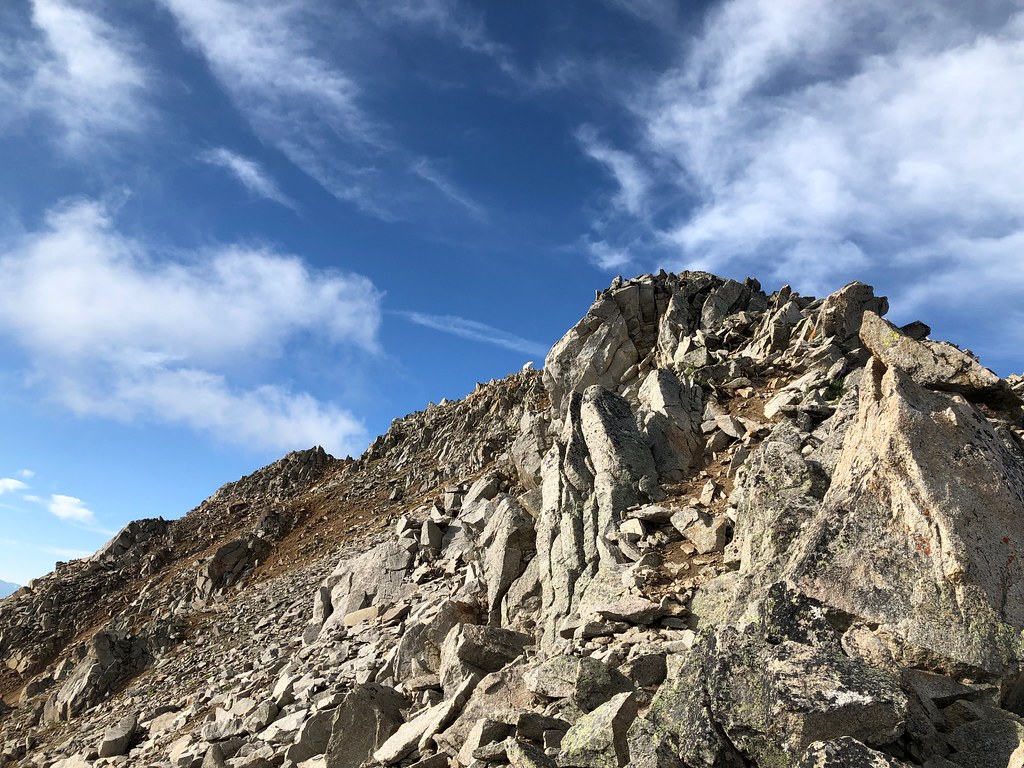 Photo: supercraigtalbert, CC BY 2.0 (via Flickr)
Three Apostles
~5 min drive
2.59-mile out-and-back hike in Colorado's Pike and San Isabel National Forests with 587 ft gain.
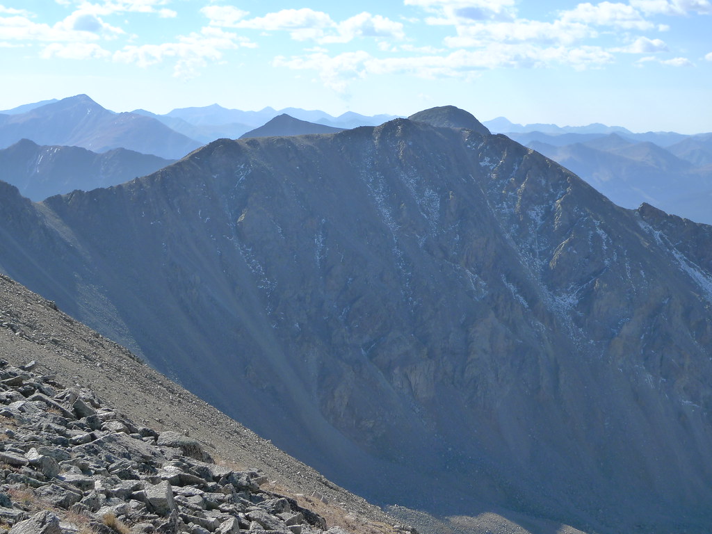 Photo: jl_2, CC BY-SA 2.0 (via Flickr)
Missouri Mtn - Clohseys Lake
~5 min drive
3.08-mile out-and-back trail in Colorado managed by Pike and San Isabel National Forests.
 Photo: Mark Crockett, CC BY 3.0 (via Wikimedia Commons)
Missouri Mtn
~7 min drive
3.22-mile out-and-back hike in Colorado's Pike and San Isabel National Forests with 1,480 ft gain.
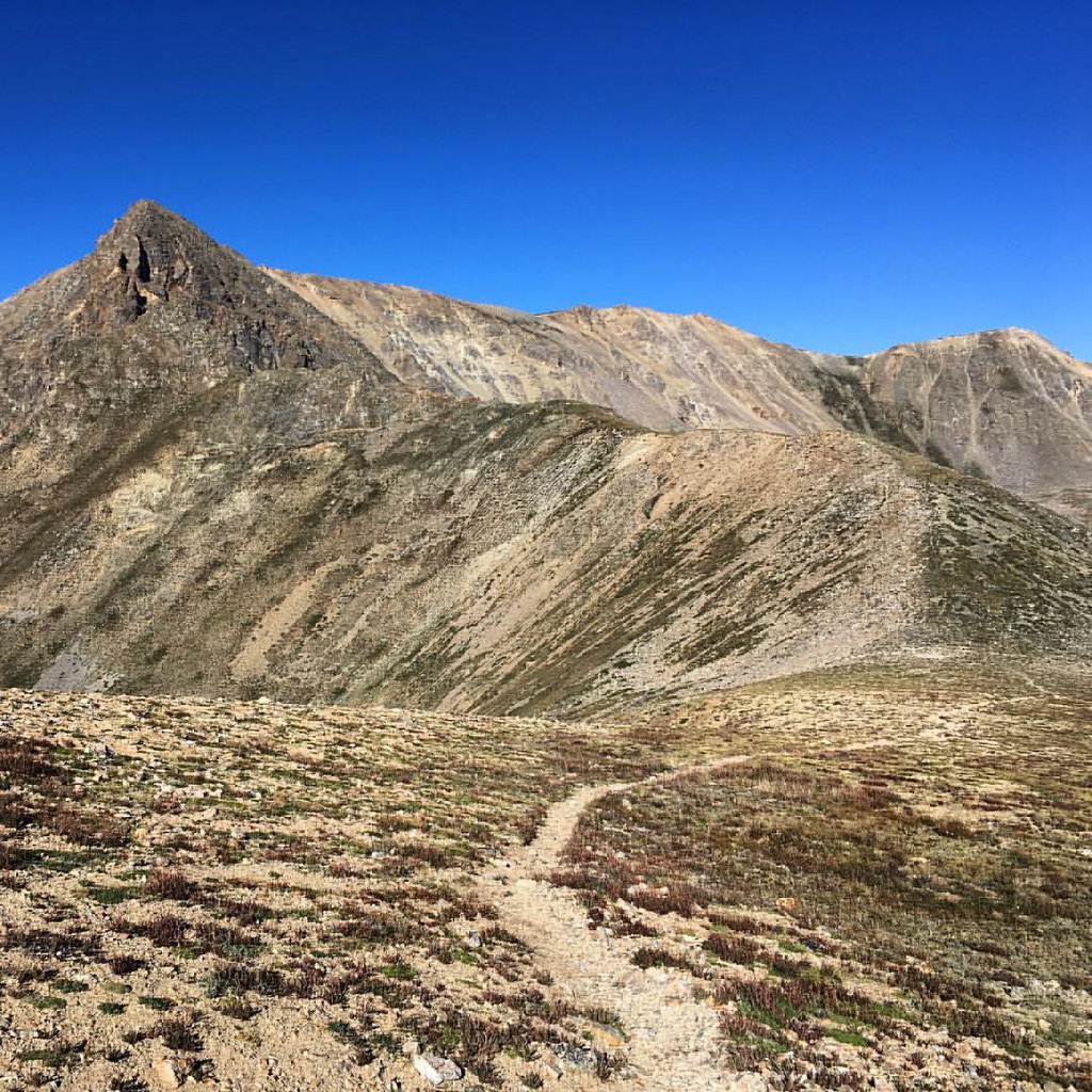 Photo: gregor_y — CC BY-SA 2.0 (via Flickr)
Missouri Mountain
~6 min drive
Standard route to Missouri Mountain (14,074 ft) from Missouri Gulch.
 Photo: Frans-Banja Mulder, CC BY 3.0 (via Wikimedia Commons)
Twin Lakes
~13 min drive
1.68-mile out-and-back trail to Twin Lakes in Colorado's Pike and San Isabel National Forests.
 Photo: kalestews, CC BY 2.0 (via Flickr)
La Plata Peak
~9 min drive
9.37-mile out-and-back to La Plata Peak in Colorado's Pike and San Isabel National Forests
Photo: Mark Crockett, CC BY 3.0 (via Wikimedia Commons)Mt. Belford - Missouri Gulch
~6 min drive
3.50-mile out-and-back trail in Colorado with 2,562 ft elevation gain.
Photo: gregor_y, CC BY-SA 2.0 (via Flickr)Iowa Peak
~6 min drive
Route to the summit of Iowa Peak (13,809 ft) from Mt. Missouri & Mt. Columbia.
Mt. Oxford - Mt. Belford
~8 min drive
2.80-mile out-and-back hike from Mt. Oxford to Mt. Belford in Colorado's Pike and San Isabel National Forests.
Map and trail data © OpenStreetMap contributors
Local operatorsoffering guided trips. You book directly with them — Roamze doesn’t take a cut.
Taylor Park Trading Post
Hiking business nearby (~13 mi away) — hasn't claimed their Roamze page yet
Arrowhead Point Campground and Cabins
Hiking business nearby (~17 mi away) — hasn't claimed their Roamze page yet
Valley Mobile RV Park
Hiking business nearby (~18 mi away) — hasn't claimed their Roamze page yet
