Sharp Creek Group
Campground
Campground · 4.1 mi from the trail
Closure in the area
There's a closure order in Tonto National Forest. It doesn't name West Webber, so check the source for the area it covers (2 listed).
Rattlesnake Cove Developed Recreation Site - Post Flood Recovery and Public Safety Closure
Agency closure covering Tonto National Forest · Order 3-12-01-26-36 · USFS · Tonto National Forest
State Route 260 Lion Springs Construction Site Public Health and Safety Closure Order
Agency closure covering Payson Ranger District · Order 03-12-04-26-25 · USFS · Payson Ranger District
Emergency Closure of Water Wheel Recreation Sites for Public Safety
Agency alert covering Payson Ranger District · Order 03-12-04-26-34 · USFS · Payson Ranger District
Canyon Lake Drawdown Public Safety Closure
Agency alert covering Tonto National Forest · Order 03-12-00-26-22 · USFS · Tonto National Forest
No Fire Restrictions
Agency alert covering Tonto National Forest · USFS · Tonto National Forest
As of · Source: USFS · Tonto National Forest. Agencies don't list every closure — check before you go.
West Webber is a 4.4-mile out-and-back hike in the Payson Ranger District of Arizona's Tonto National Forest. The trail gains about 1,160 feet, from a low point of 5,772 feet to a high of 7,240 feet, and is managed by the Forest Service. The route is natural-surface, and biking is not allowed. The most comfortable stretch for a visit runs from late spring through early fall. Typical averages from a nearby weather station at Blue Ridge, about 18 miles away and roughly 360 feet lower, put May highs around 70°F and September highs near 76°F, with July peaking around 83°F. The hike sits close to other trails and camps. Turkey Springs is about 0.2 miles away, and the Geronimo mountain biking area is about half a mile off. For an overnight stay, Sharp Creek Group campground lies about 4 miles away, and Zone-tail Buttress offers climbing about 5 miles out.
Sharp Creek Group
Campground
Camp Geronimo dining hall
Restaurant
Places © OpenStreetMap contributors
More in Blue Ridge Turkey SpringsHikingPhoto: Coconino National Forest, CC BY-SA 2.0 (via Wikimedia Commons)0.2 mi
 GeronimoMountain bikingPhoto: Jesse Off, CC BY 3.0 (via Wikimedia Commons)0.5 mi
 East WebberMountain bikingPhoto: Jesse Off, CC BY 3.0 (via Wikimedia Commons)0.8 mi
 East Verde RiverCanoeingPhoto: Richard N Horne, CC BY-SA 4.0 (via Wikimedia Commons)9 mi
Source: Roamze catalog (indexable pages within 10 miles, PostGIS distance)
Turkey SpringsHiking · Next doorPhoto: Coconino National Forest, CC BY-SA 2.0 (via Wikimedia Commons)DonahueHiking · ~3 min drivePhoto: Coconino National Forest, CC BY-SA 2.0 (via Wikimedia Commons) Pine ViewHiking · ~6 min drivePhoto: cogdogblog, Public Domain Dedication (CC0) (via Flickr)
 PineHiking · ~11 min drivePhoto: cogdogblog, CC BY 2.0 (via Flickr)
 Arizona TrailHiking · ~14 min drivePhoto: Coconino NF Photography, Public Domain Dedication (CC0) (via Flickr)
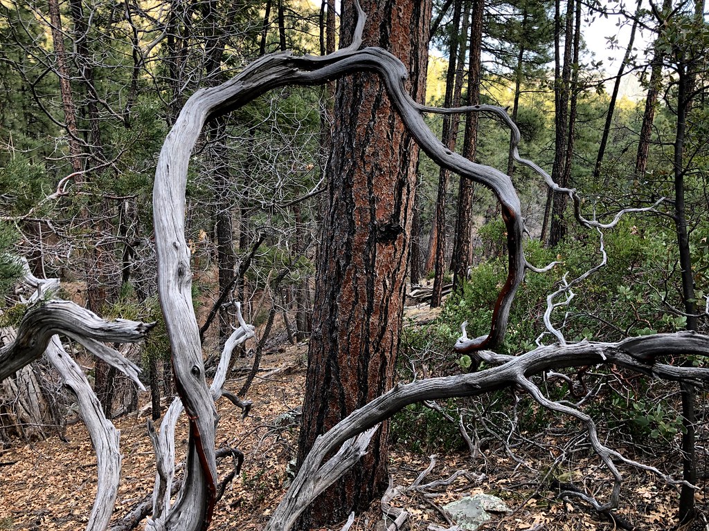 MohawkHiking · ~9 min drivePhoto: cogdogblog, Public Domain Dedication (CC0) (via Flickr)
 Houston BrothersHiking · ~17 min drivePhoto: cogdog, CC BY-SA 3.0 (via Wikimedia Commons)
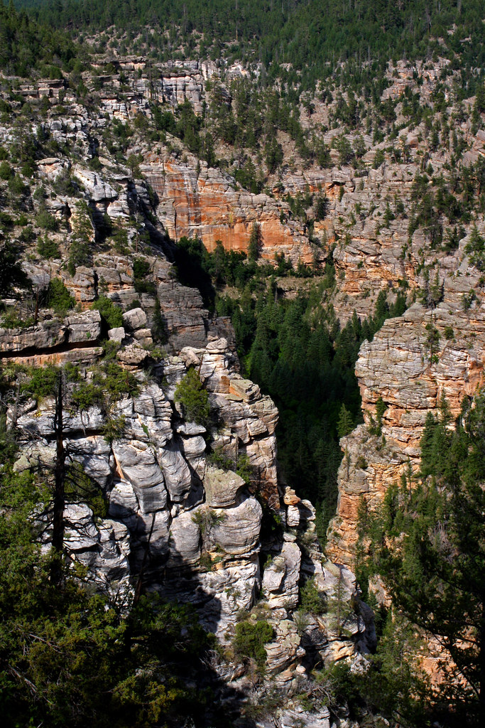 MaxwellHiking · ~17 min drivePhoto: Coconino NF Photography, CC BY-SA 2.0 (via Flickr)
 FlumeHiking · ~18 min drivePhoto: Coconino NF Photography, Public Domain Dedication (CC0) (via Flickr)
Also worth it near here
GeronimoMountain biking · Next doorPhoto: Jesse Off, CC BY 3.0 (via Wikimedia Commons) Strawberry MountainSummit · ~11 min drivePhoto: Cogdog, CC BY-SA 3.0 (via Wikimedia Commons)
 Tonto Natural BridgeNatural arch · ~13 min drivePhoto: Rednelson, CC BY-SA 3.0 (via Wikimedia Commons)
Best months: May–October. Best months have typical highs of 55–85 °F, lows of 30 °F or warmer (32 °F where the station doesn't record snow), at most one snowy day and no more than 12 wet days.
Jan
45° / 17°
Feb
49° / 20°
Mar
55° / 25°
Apr
61° / 30°
May
70° / 38°
Jun
80° / 47°
Jul
83° / 55°
Aug
81° / 53°
Sep
76° / 46°
Oct
67° / 34°
Nov
55° / 24°
Dec
45° / 17°
Typical high / low (°F) and days with rain or snow, 1991–2020. Measured at Blue Ridge Rs, AZ, 17.7 mi away at 6,880 ft. This station doesn't record snowfall. Source: NOAA NCEI U.S. Climate Normals 1991–2020.
