Free — you'll pick up right here.
Watch this water
Sign up to watch it — saving subscribes you to gate, closure and report changes.
Arizona
Sardine Point Day Use Area
No verdict for this water
We won't guess. Here is exactly what we do and don't know.
What we do know
Inside Apache-Sitgreaves National Forests
2 managing-area boundaries mapped — agency alerts for them feed this page automatically.
Boundary data
What's missing
No access route mapped
We don't yet know which road reaches this trailhead, so we can't tell you if it's gated.
Nobody's filed a report here yet — be the first.
Why you'll love it
Here's your day on the water, mapped
Sardine Point Day Use Area
AI-suggested draft · review before you go
Gear for the day
Photos
Directions & GPX
About this water
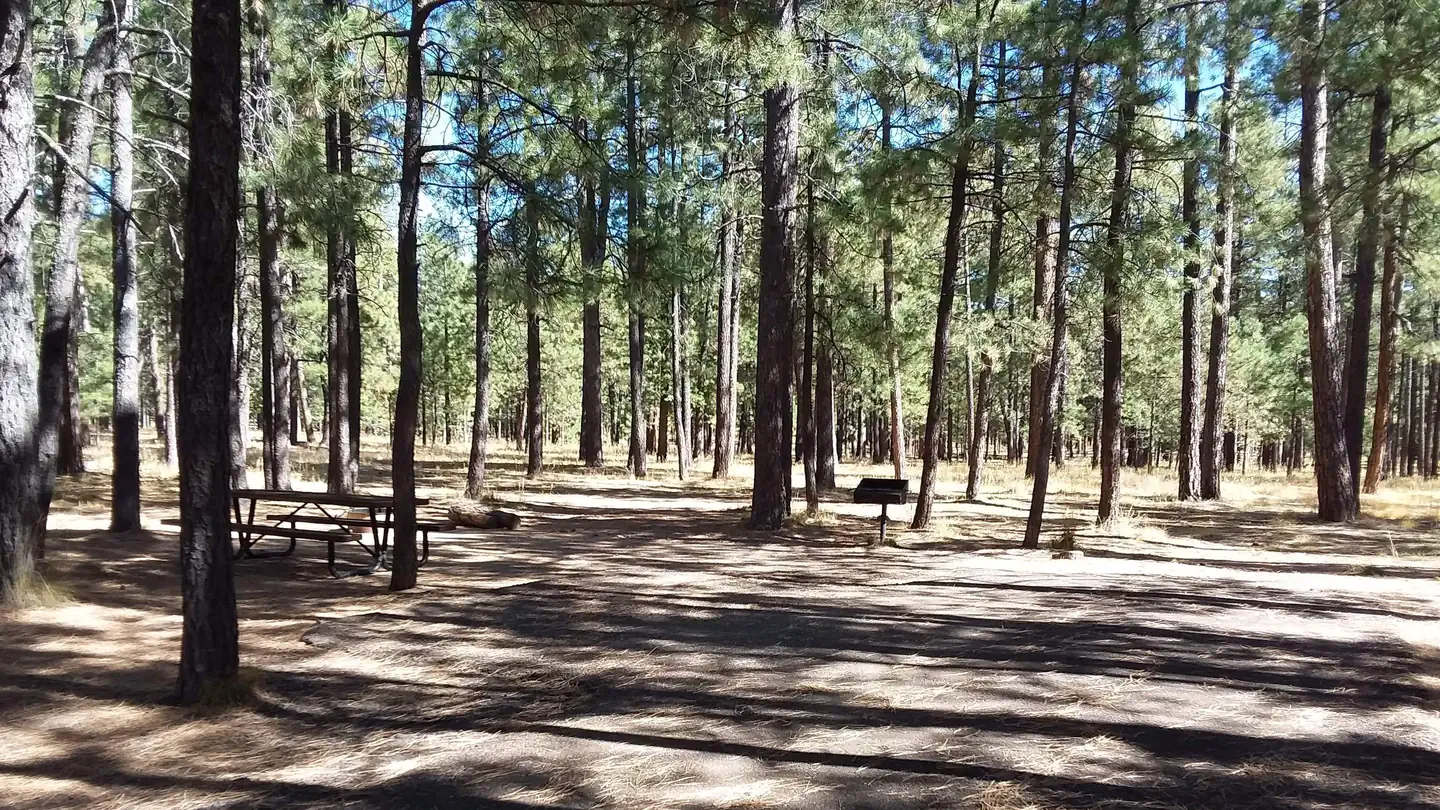
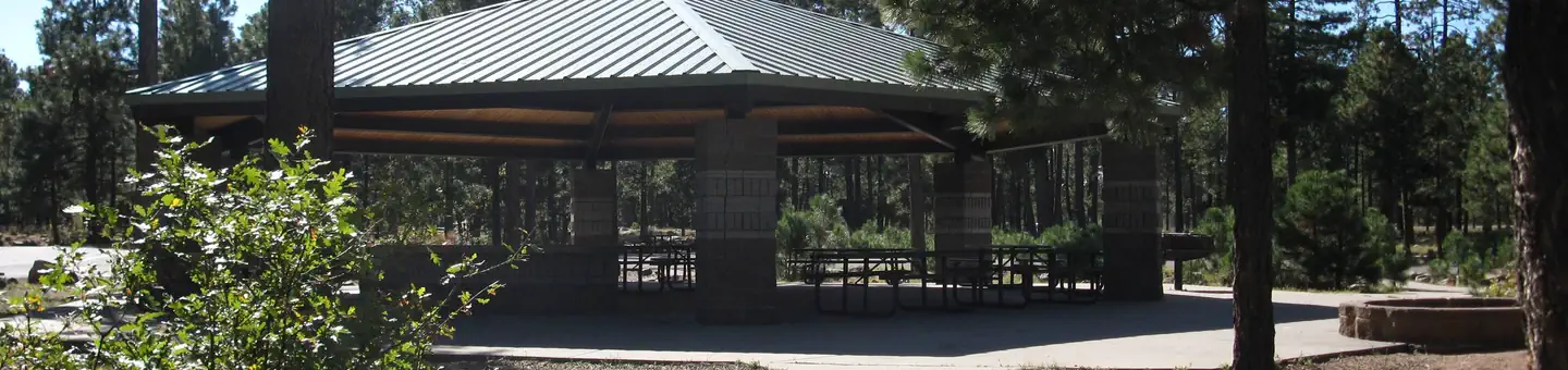
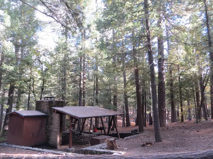
Sardine Point is a peninsula surrounded on three sides by Willow Springs Lake. Sardine Point Day Use Area provides shore access for fishing, picnicking, and wildlife watching.
Add to a trip & share
Keep exploring — more waters worth the drive
Crook Campground
~8 min drive
A worthwhile stop near Arizona.
Canyon Point
~5 min drive
A worthwhile stop near Arizona.
Willow Springs Lake Fishing and Boating Site
~1 min drive
A worthwhile stop near Arizona.
Willow Springs Lake
~1 min drive
A worthwhile stop near Arizona.
Spillway
~8 min drive
A worthwhile stop near Arizona.
Woods Canyon Lake Recreation Area
~9 min drive
A worthwhile stop near Arizona.
Deer Lake
~13 min drive
A worthwhile stop near Arizona.
Woods Canyon Lake Group
~8 min drive
A worthwhile stop near Arizona.
Black Canyon Lake Fishing and Boating Site
~17 min drive
A worthwhile stop near Arizona.
Black Mesa Ranger District
~38 min drive
A worthwhile stop near Arizona.

