Rocky Mountain Outfitter
Skiing business nearby (~45 mi away) — hasn't claimed their Roamze page yet
Montana
Free — you'll pick up right here.
4.2 mi
Distance
225 ft
Gain
We won't guess. Here is exactly what we do and don't know.
What we do know
Inside Flathead National Forest
2 managing-area boundaries mapped — agency alerts for them feed this page automatically.
Boundary data
In the Flathead Range & Glacier NP forecast zone
Avalanche danger ratings feed from avalanche.org when the center is forecasting.
Avalanche.org
What's missing
No access route mapped
We don't yet know which road reaches this trailhead, so we can't tell you if it's gated.
Nobody's filed a report here yet — be the first.
Granite Sm
Suggested plan · check conditions before you go
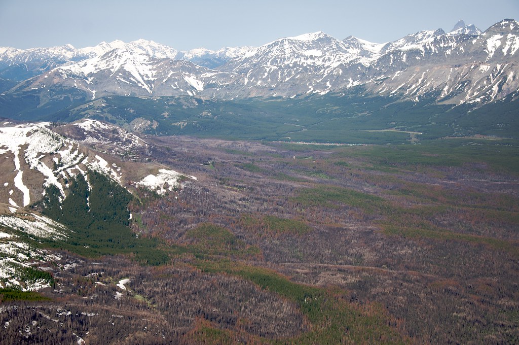
Granite Sm is a 4.22-mile out-and-back trail in Montana with 225 feet of elevation gain. The trail follows an out-and-back route type.
Source: Roamze elevation profile and trail geometry (DEM samples along the mapped route)
Active alerts for Flathead National Forest as of Oct 9, 2026:
Camp Creek Fire Updated Trail Closure
caution · posted Oct 5, 2026
Bear Creek Road 5398 closed for reconstruction through Nov. 1, 2026
caution · posted Oct 5, 2026
Jewel Basin Hiking Area Regulations
information · posted Aug 24, 2026
Three Forks of the Flathead River Regulations
information · posted Aug 24, 2026
information · posted Aug 24, 2026
Logan Creek Hoke Creek Closure
caution · posted Aug 24, 2026
Ryan Creek Occupancy and Use Order
caution · posted Aug 24, 2026
Trail 800 Tally-Ashely Closure
caution · posted Aug 24, 2026
Big Creek Canyon Creek Road 316 Closure for Emergency Repairs
information · posted Aug 24, 2026
FK&L Area Closed to Public Access Starting July 22, 2026
caution · posted Aug 24, 2026
Source: USFS forest alerts
Source: Roamze catalog (indexable pages within 10 miles, PostGIS distance)
Sky Alternate
~3 min drive
1.97-mile out-and-back trail in Montana with 293 ft elevation gain.
Z - Loop
~1h 22m drive
4.89-mile out-and-back trail in Montana with 21 ft elevation gain.
Telemark Descent
~1h 24m drive
2.30-mile out-and-back trail in Montana with 366 ft gain and 744 ft loss.
Teton Pass Ski Resort
~54 min drive
Teton Pass Ski Resort in Montana has 3 lifts and 38 runs with 910 ft of vertical.
Wildcat
~53 min drive
Wildcat is a 1.04-mile out-and-back ski trail in Idaho with 212 feet of elevation gain.
Chair 11 Flower Point
~1h 25m drive
0.7 mi
East Fork Sm
~8 min drive
10.54-mile out-and-back trail in Montana with 541 ft gain.
Powerline Loop
~1h 22m drive
5.58-mile out-and-back trail in Montana with 22 ft of elevation gain.
Bench Sm
~7 min drive
2.01-mile out-and-back trail in Montana with 242 ft elevation gain.
Crater
~53 min drive
0.31-mile out-and-back ski trail in Idaho with 10 ft of elevation gain.
Local operatorsoffering guided trips. You book directly with them — Roamze doesn’t take a cut.
Rocky Mountain Outfitter
Skiing business nearby (~45 mi away) — hasn't claimed their Roamze page yet
