Indian River Canoe Route
Michigan
Free — you'll pick up right here.
19.5 mi
Distance
20 ft
Gain
Conditions: Blocked
for hike, todayAn agency closure order is in effect for this area; weather is good
2 factors · 2 sources
Newest 16 h ago · oldest 16 h
problem: Agency alerts
16 active alerts in Hiawatha National Forest; most severe: Brevoort Lake Autumn Drawdown
USFSPosted Oct 5 · checked 16 h ago
clear: Weather
Clouds, high 64°F / low 44°F, 0% precip — 98/100 for hike
OpenWeather16 h ago
Been out here in the last few days? One report keeps this current for everyone.
Why you'll love it
Here's your day, mapped
Indian River Canoe Route
Suggested plan · check conditions before you go
Meals
Gear for the day
Elevation & route
- Distance
- 19.5 mi
- Elevation gain
- 20 ft
- Highest point
- 635 ft
- Lowest point
- 614 ft
Photos
Directions & GPX
Permits & access
- Managing agency
- Forest Service
About this trail
The Indian River Canoe Route is a 19.53-mile out-and-back canoe route in Michigan managed by the Forest Service. The route gains 20 feet of elevation and reaches a maximum elevation of 635 feet.
Facts about this trail
The climb
- High point
- 635 ft
- Length (round trip)
- 20 mi
- Shape
- Out and back
Source: Roamze elevation profile and trail geometry (DEM samples along the mapped route)
When to go
Typical monthly averages (not a forecast) from the Manistique Wwtp, MI weather station, 12 mi away. High / low in °F.
- Jan25° high10° low
- Feb27° high11° low
- Mar35° high19° low
- Apr45° high30° low
- May57° high41° low
- Jun67° high51° low
- Jul73° high57° low
- Aug74° high56° low
- Sep66° high49° low
- Oct53° high39° low
- Nov41° high28° low
- Dec31° high18° low
Where it is
- Manistique Ranger District · Ranger district
- Hiawatha National Forest · National forest
- Managed by
- Forest Service
Conditions
Active alerts for Hiawatha National Forest as of Oct 9, 2026:
Restricting Public Entry to Stonington Quarry
caution · posted Oct 8, 2026
critical · posted Oct 8, 2026
Restrictions on the use of fireworks
information · posted Aug 24, 2026
Firewood Restrictions on the Hiawatha and Ottawa National Forests
information · posted Aug 24, 2026
Drug and Alcohol Use on the Hiawatha National Forest
information · posted Aug 24, 2026
Restrictions on entry to any beach posted closed
information · posted Aug 24, 2026
Occupancy and use of Lake Superior Shoreline
information · posted Aug 24, 2026
Occupancy and use of Big Island Lake Wilderness
information · posted Aug 24, 2026
information · posted Aug 24, 2026
Restricting the use of Raco Airfield
information · posted Aug 24, 2026
Source: USFS forest alerts
Nearby
- Leg Lake CampsitesCamping4.4 mi
- Leg Lake Camping AreaCamping4.4 mi
- Bear Lake CampsitePier fishing4.4 mi
- Indian River Campground And Day Use AreaCamping4.4 mi
- Carr Lake CampsitePier fishing4.8 mi
- Carr Lake CampsitesLake fishing4.8 mi
- MURPHY CREEK TRAILHiking5.3 mi
- BIG SPRING-BALDY LAKE SNOMOHiking5.4 mi
Source: Roamze catalog (indexable pages within 10 miles, PostGIS distance)
Add to a trip & share
Keep exploring — more trails worth the drive
 Photo: usfs_Eastern_Region, Public Domain Mark (via Flickr)
Pine Marten Run
~18 min drive
Remote 37-mile out-and-back backcountry trail in Michigan's northern forests.
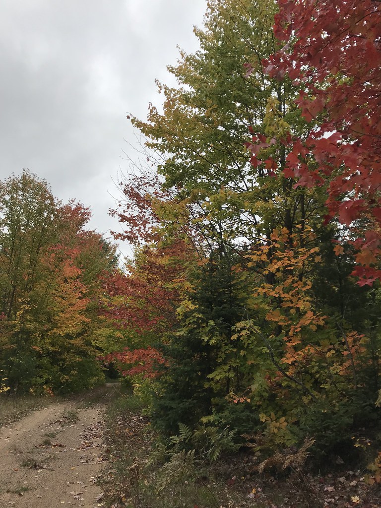 Photo: usfs_Eastern_Region, Public Domain Mark (via Flickr)
Coalwood Grade ATV
~40 min drive
7.77-mile out-and-back trail in Michigan with 198 ft elevation gain.
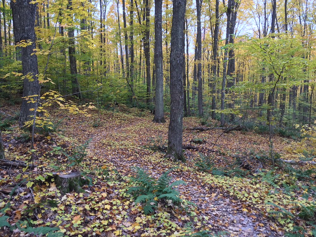 Photo: usfs_Eastern_Region, Public Domain Mark (via Flickr)
VALLEY SPUR SKI LOOP W
~40 min drive
2.13-mile loop in Michigan with 164 ft elevation gain
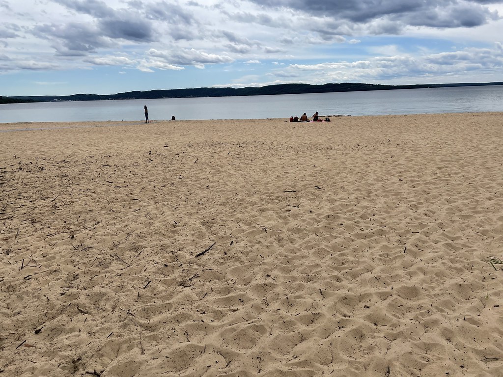 Photo: clembore, CC BY-SA 2.0 (via Flickr)
Sand Point Marsh Trail
~45 min drive
0.88-mile out-and-back trail in Michigan managed by the National Park Service.
 Photo: usfs_Eastern_Region, Public Domain Mark (via Flickr)
Brunos Run
~24 min drive
12.81-mile loop in Michigan with 904 ft elevation gain.
Photo: usfs_Eastern_Region, Public Domain Mark (via Flickr)VALLEY SPUR SKI LOOP Y
~40 min drive
5.92-mile out-and-back ski trail in Michigan with 326 ft elevation gain
 Photo: usfs_Eastern_Region, Public Domain Mark (via Flickr)
Valley Spur-Cedar Streak
~41 min drive
0.96-mile out-and-back trail in Michigan with 33 ft elevation gain.
Photo: clembore, CC BY-SA 2.0 (via Flickr)Sand Point NCT Connector Trail
~45 min drive
1.5-mile out-and-back trail in Michigan with 132 ft of elevation gain.
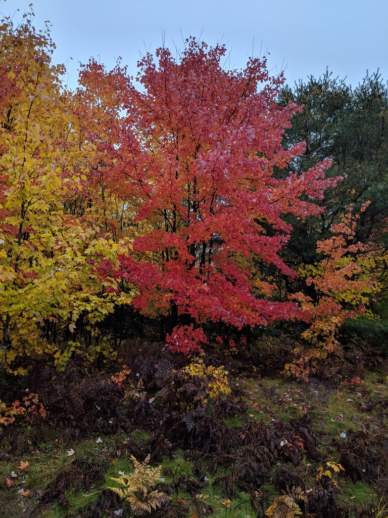 Photo: usfs_Eastern_Region, Public Domain Mark (via Flickr)
Valley Spur-Hemlock Valley
~40 min drive
10.39-mile out-and-back trail in Michigan with 386 ft elevation gain.
Van Winkle Trail
~12 min drive
4.35-mile loop in Michigan with 309 ft gain.
