Water Tower
Arizona
Free — you'll pick up right here.
1.4 mi
Distance
131 ft
Gain
32 min
Time
We don't cover this trail yet
No agency boundary, access route or field report is mapped to it — so there is no verdict, and we won't guess. We'll tell you the moment this trail has something to say.
Nobody's filed a report here yet — be the first.
Why you'll love it
Here's your day, mapped
Water Tower
Suggested plan · check conditions before you go
Meals
Gear for the day
Elevation & route
- Distance
- 1.4 mi
- Elevation gain
- 131 ft
- Highest point
- 5,829 ft
- Lowest point
- 5,697 ft
Photos
Directions & GPX
Permits & access
- Managing agency
- Forest Service
- Bikes
- yes
About this trail
Water Tower is a short out-and-back trail in Arizona managed by the Forest Service. The trail is 1.43 miles long with 131 feet of elevation gain.
Add to a trip & share
Keep exploring — more trails worth the drive
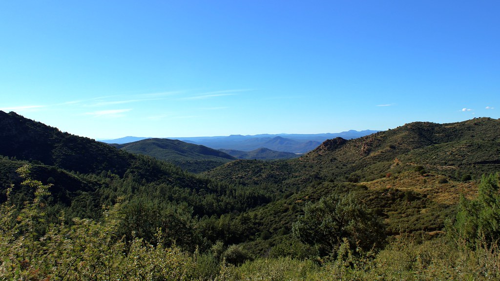 Photo: Scottb211, CC BY 2.0 (via Flickr)
Skyline Trail #712
~4 min drive
1.98-mile out-and-back hike in Arizona with 364 ft elevation gain.
Thumb Butte Bypass
~0 min drive
4.98-mile out-and-back trail to Thumb Butte in Arizona with 656 ft gain.
West
~1 min drive
4.22-mile out-and-back trail in Arizona with 267 ft gain
Prescott Circle Trail
~7 min drive
55 mi · Hard
 Photo: Scottb211, CC BY 2.0 (via Flickr)
Vista Trail #706
~4 min drive
3.04-mile out-and-back trail in Arizona with 431 ft elevation gain.
Porter Spur
~6 min drive
1.08-mile out-and-back trail with 281 ft gain in Arizona.
Ridge Top
~2 min drive
4.14-mile out-and-back trail on a ridge top in Arizona with 235 ft of elevation gain.
Balancing Rock
~6 min drive
6.29-mile out-and-back trail in Arizona with 189 ft elevation gain.
Miller Creek
~1 min drive
1.31-mile out-and-back trail in Arizona with 137 ft of elevation gain.
Williams Peak TR #738
~3 min drive
7.18-mile out-and-back trail in Arizona with 1,463 ft gain and 6,706 ft max elevation.

