Last Chance Creek
Chilcoot, California
Free — you'll pick up right here.
No verdict for this water
We won't guess. Here is exactly what we do and don't know.
What we do know
Inside Plumas National Forest
2 managing-area boundaries mapped — agency alerts for them feed this page automatically.
Boundary data
What's missing
No access route mapped
We don't yet know which road reaches this trailhead, so we can't tell you if it's gated.
Nobody's filed a report here yet — be the first.
Why you'll love it
River facts
- Water
- Only after rain or snowmelt
- Average flow
- 453 cfs
- Average current
- 1.2 ft/s
- Gradient
- 72.2 ft/mi
- Drainage area
- 322 sq mi
Long-term averages modeled by USGS (NHDPlus HR), not today's conditions. Check a gauge before you go.
Here's your day on the water, mapped
Last Chance Creek
Suggested plan · check conditions before you go
Photos
Directions & GPX
Permits & access
- Managing agency
- Forest Service
About this water
Last Chance Creek is a 35-mile paddling stretch near Chilcoot, California. It is ephemeral and may run dry in some seasons. USGS models an average flow of about 453 cfs and a gradient of about 72.2 feet per mile. Land along it is managed by the U.S. Forest Service.
Facts about this water
Where it is
- Beckwourth Ranger District · Ranger district
- Plumas National Forest · National forest
- Managed by
- Forest Service
Conditions
Active alerts for Plumas National Forest as of Oct 9, 2026:
Stage I Fire Restrictions - Plumas National Forest
fire-restriction · posted Sep 5, 2026
Plumas National Forest Camping Stay and Occupancy Limits
information · posted Aug 24, 2026
Source: USFS forest alerts
Nearby
- PAPOOSE PEAKHiking3.7 mi
- Mo Bisipi CreekCanoeing3.9 mi
- Laufman Family Cg.Camping6.3 mi
- Gold Lake CampgroundCamping6.8 mi
- Red Clover CreekCanoeing8.1 mi
- Dixie CreekCanoeing9.2 mi
- LAST CHANCE RIDGE SPURHiking9.6 mi
- LAST CHANCE RIDGEHiking9.8 mi
Source: Roamze catalog (indexable pages within 10 miles, PostGIS distance)
Add to a trip & share
Keep exploring — more water worth the drive
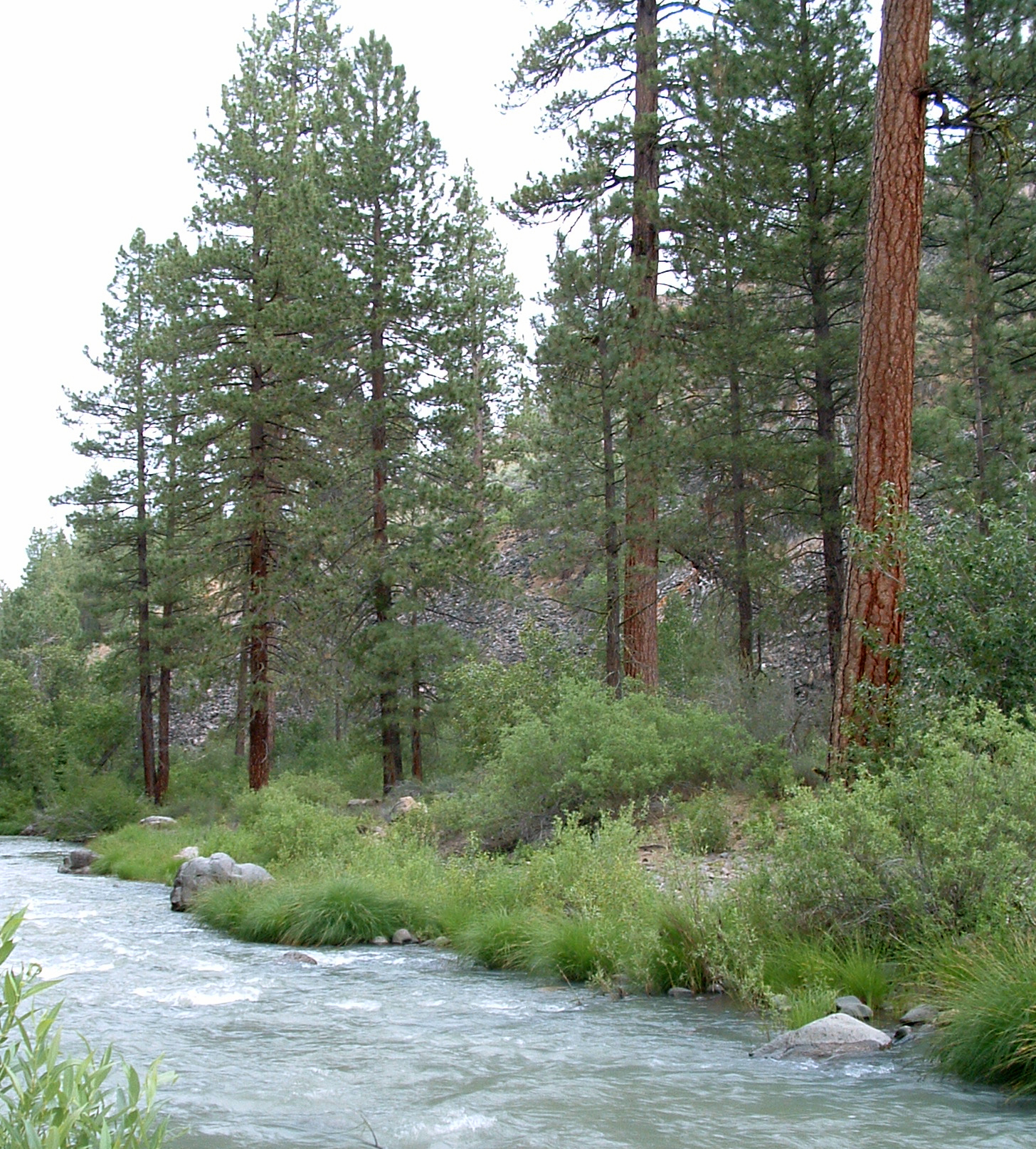 Photo: USFS Region 5, CC BY 2.0 (via Wikimedia Commons)
Susan River
~44 min drive
Susan River is a 33-mile paddling stretch near Susanville, California. It is intermittent and may run dry in some seasons. USGS models an average flow of about 429 cfs and a gradient of about 41.3 feet per mile.
Lightning Tree Boat Ramp
~19 min drive
Lightning Tree Boat Ramp is a boat launch in California.
 Photo: Frank Schulenburg, CC BY-SA 4.0 (via Wikimedia Commons)
Middle Fork Feather River
~34 min drive
Middle Fork Feather River is a 6.6-mile paddling stretch near Portola, California. It flows year-round. USGS models an average flow of about 556 cfs and a gradient of about 52.0 feet per mile.
Lost Cove (Boating)
~19 min drive
A worthwhile stop near California.
Mo Bisipi Creek
~7 min drive
Mo Bisipi Creek is a 12-mile paddling stretch near Chilcoot, California. It is intermittent and may run dry in some seasons. USGS models an average flow of about 82 cfs and a gradient of about 22.7 feet per mile. Land along it is managed by the U.S. Forest Service.
Mallard Cove Boat Ramp
~21 min drive
A worthwhile stop near California.
Red Clover Creek
~14 min drive
Red Clover Creek is a 25-mile paddling stretch near Beckwourth, California. It is intermittent and may run dry in some seasons. USGS models an average flow of about 183 cfs and a gradient of about 85.8 feet per mile. Land along it is managed by the U.S. Forest Service.
Honker Cove Boat Ramp
~22 min drive
A worthwhile stop near California.
Dixie Creek
~16 min drive
Dixie Creek is a 15-mile paddling stretch near Chilcoot, California. It is intermittent and may run dry in some seasons. USGS models an average flow of about 37 cfs and a gradient of about 100.1 feet per mile. Land along it is managed by the U.S. Forest Service.
Camp 5 Boat Ramp
~23 min drive
A worthwhile stop near California.
