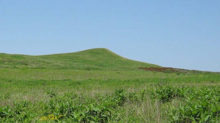
Missouri River
Yankton, Nebraska
Free — you'll pick up right here.
We don't cover this water yet
No agency boundary, access route or field report is mapped to it — so there is no verdict, and we won't guess. We'll tell you the moment this water has something to say.
Covered nearby
Waters within 25 miles where we do have a current picture.
Nobody's filed a report here yet — be the first.
Why you'll love it
Similar waters
Like this spot? Try:
Here's your day on the water, mapped
Missouri River
Suggested plan · check conditions before you go
Gear for the day
Photos
Directions & GPX
About this water
Missouri River is a river in Nebraska.
Facts about this water
When to go
Typical monthly averages (not a forecast) from the Yankton 2 E, SD weather station, 6.3 mi away. High / low in °F.
- Jan30° high10° low
- Feb35° high14° low
- Mar47° high25° low
- Apr60° high35° low
- May72° high48° low
- Jun82° high59° low
- Jul87° high64° low
- Aug85° high61° low
- Sep77° high52° low
- Oct63° high38° low
- Nov47° high25° low
- Dec34° high15° low
Where it is
- Lewis And Clark Recreation Area · Public land
- Managed by
- Army Corps of Engineers
Source: USGS PAD-US 4.1
Nearby
- Gavins Point NFH Nature TrailHiking1.7 mi
- WeigandLake fishing4.9 mi
Source: Roamze catalog (indexable pages within 10 miles, PostGIS distance)
Add to a trip & share
Keep exploring — more waters worth the drive
Missouri River
~1h 13m drive
Missouri River is a river in Nebraska.
Weigand
~8 min drive
A worthwhile stop near Nebraska.
Kloucek Lake
~28 min drive
Kloucek Lake is a 65-acre lake near Scotland, South Dakota, at about 1,355 feet.
Willow Creek Lake
~1h 20m drive
Willow Creek Lake is a 761-acre reservoir in Nebraska.
Red Lake
~1h 25m drive
Red Lake is a 56-acre lake near Lake Andes, South Dakota, at about 1,477 feet. It is managed by the state fish and wildlife agency.