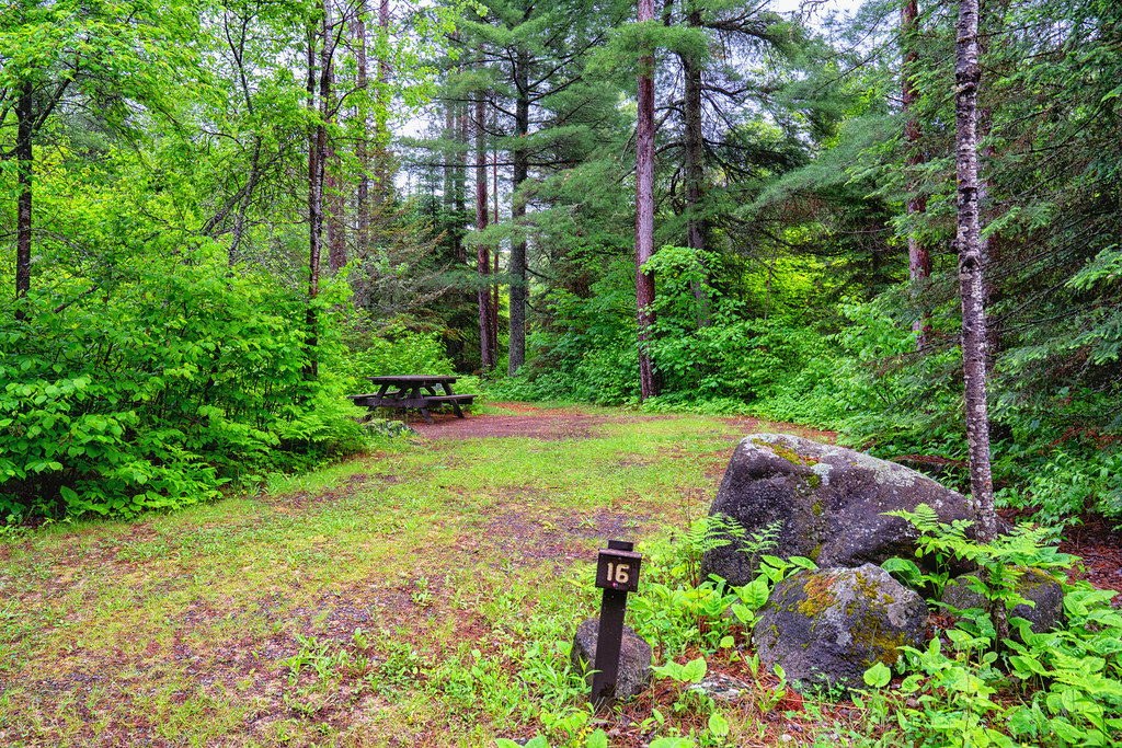
Kelly Lake Spur E
Minnesota
Free — you'll pick up right here.
1.7 mi
Distance
508 ft
Gain
41 min
Time
Conditions: Blocked
for hike, todayAn agency closure order is in effect for this area; weather is good
2 factors · 2 sources
Newest 6 h ago · oldest 6 h
problem: Agency alerts
10 active alerts in Superior National Forest; most severe: Post Wildfire Closures, Effective October 1, 2026
USFSPosted Oct 1 · checked 6 h ago
clear: Weather
Clouds, high 52°F / low 43°F, 0% precip — 98/100 for hike
OpenWeather6 h ago
Been out here in the last few days? One report keeps this current for everyone.
Why you'll love it
Here's your day, mapped
Kelly Lake Spur E
Suggested plan · check conditions before you go
Meals
Gear for the day
Elevation & route
- Distance
- 1.7 mi
- Elevation gain
- 508 ft
- Elevation loss
- 508 ft
- Highest point
- 1,763 ft
- Lowest point
- 1,626 ft
Photos
Directions & GPX
Permits & access
- Managing agency
- Forest Service
- Dogs
- unknown
- Bikes
- no
About this trail
KELLY LAKE SPUR E is a 3.42-mile out-and-back trail in Minnesota with 508 feet of elevation gain and loss. The trail reaches a maximum elevation of 1,763 feet.
Facts about this trail
The climb
- Starts at
- 1,741 ft
- High point
- 1,763 ft
- Total climbing
- 508 ft
- Total descent
- 508 ft
- Steepest stretch
- 12% grade around mile 0.8 on the way out
- Length (round trip)
- 3.4 mi
- Shape
- Out and back
The climb is steady from start to finish.
Source: Roamze elevation profile and trail geometry (DEM samples along the mapped route)
Where it is
- Kawishiwi Ranger District · Ranger district
- Superior National Forest · National forest
- Managed by
- Forest Service
Conditions
Active alerts for Superior National Forest as of Oct 9, 2026:
information · posted Sep 30, 2026
Post Wildfire Closures, Effective October 1, 2026
critical · posted Sep 30, 2026
Fall prescribed fire–pile burning
information · posted Sep 25, 2026
Watch for Wildfire Hazards While Recreating
information · posted Sep 14, 2026
Forest Road Improvement Projects
caution · posted Sep 2, 2026
Conditions of Use Restrictions for the Superior
information · posted Aug 24, 2026
BWCAW Bear Aware Food Storage Order
information · posted Aug 24, 2026
Lake County Bridge 38535–New Tomahawk Road Construction Project
information · posted Aug 24, 2026
Onion River Bridge on the Superior Hiking Trail Replacement
information · posted Aug 24, 2026
Wildfire Emergency Closure Issued for Affected Recreation Sites
critical · posted Aug 24, 2026
Source: USFS forest alerts
Nearby
- ROBIN LAKEHiking0.9 mi
- KELLY LAKE SPUR GHiking1.8 mi
- ROBIN CREEKHiking2.4 mi
- KELLY LAKE SPUR HHiking2.5 mi
- Mcdougal Lake CgCamping4.6 mi
- Double X BoulderRock climbing5.8 mi
- Little Isabella River CampgroundCamping7 mi
- Isabella RiverCanoeing7.8 mi
Source: Roamze catalog (indexable pages within 10 miles, PostGIS distance)
Add to a trip & share
Keep exploring — more trails worth the drive
Photo: Chad Davis., CC BY 2.0 (via Flickr)ROBIN LAKE
~2 min drive
1.02-mile out-and-back trail to Robin Lake in Minnesota with 106 ft of elevation gain.
 Photo: Tony Webster, CC BY 2.0 (via Flickr)
DUNNINGAN LAKE
~8 min drive
5.1-mile out-and-back trail to Dunningan Lake in Minnesota with 496 ft elevation gain
Gegoka Flathorn Connector E
~6 min drive
0.92-mile out-and-back trail in Minnesota with 24 ft of elevation gain.
 Photo: Joe Passe, CC BY-SA 2.0 (via Flickr)
CLOVER LAKE SPUR BA
~5 min drive
1.02-mile out-and-back trail in Minnesota with 89 ft elevation gain.
BIRCH LAKE
~15 min drive
5.38-mile out-and-back trail at Birch Lake, Minnesota with 584 ft elevation gain
Gegoka Flathorn Connector I
~6 min drive
0.94-mile out-and-back trail in Minnesota managed by the Forest Service.
 Photo: Tony Webster, CC BY 2.0 (via Flickr)
JACKPOT LAKE SPUR B
~7 min drive
1.54-mile out-and-back trail with 178 ft elevation gain and loss in Minnesota
Gegoka Flathorn Connector H
~7 min drive
1.16-mile out-and-back trail in Minnesota managed by the Forest Service.
 Photo: Michael A. Orlando, CC BY-SA 3.0 (via Wikimedia Commons)
Mcdougal Lake
~8 min drive
1.81-mile loop trail at Mcdougal Lake in Minnesota
Gegoka Flathorn Connector D
~7 min drive
2.9-mile out-and-back trail in Minnesota with 34 ft gain.