Hooks Brook Boat Access Campground
Pennsylvania
Free — you'll pick up right here.
Conditions: Blocked
for campground, todayAn agency closure order is in effect for this area; weather is good
2 factors · 2 sources
Newest 20 h ago · oldest 20 h
problem: Agency alerts
35 active alerts in Allegheny National Forest; most severe: Temporary Closure on Forest Road 321 for Culvert Replacement
USFSPosted Sep 2 · checked 20 h ago
clear: Weather
Clear, high 55°F / low 54°F, 0% precip — 97/100 for campground
OpenWeather20 h ago
Been out here in the last few days? One report keeps this current for everyone.
Here's your stay, mapped
Hooks Brook Boat Access Campground
Suggested plan · check conditions before you go
Gear for the day
Meals
Photos
About this campground
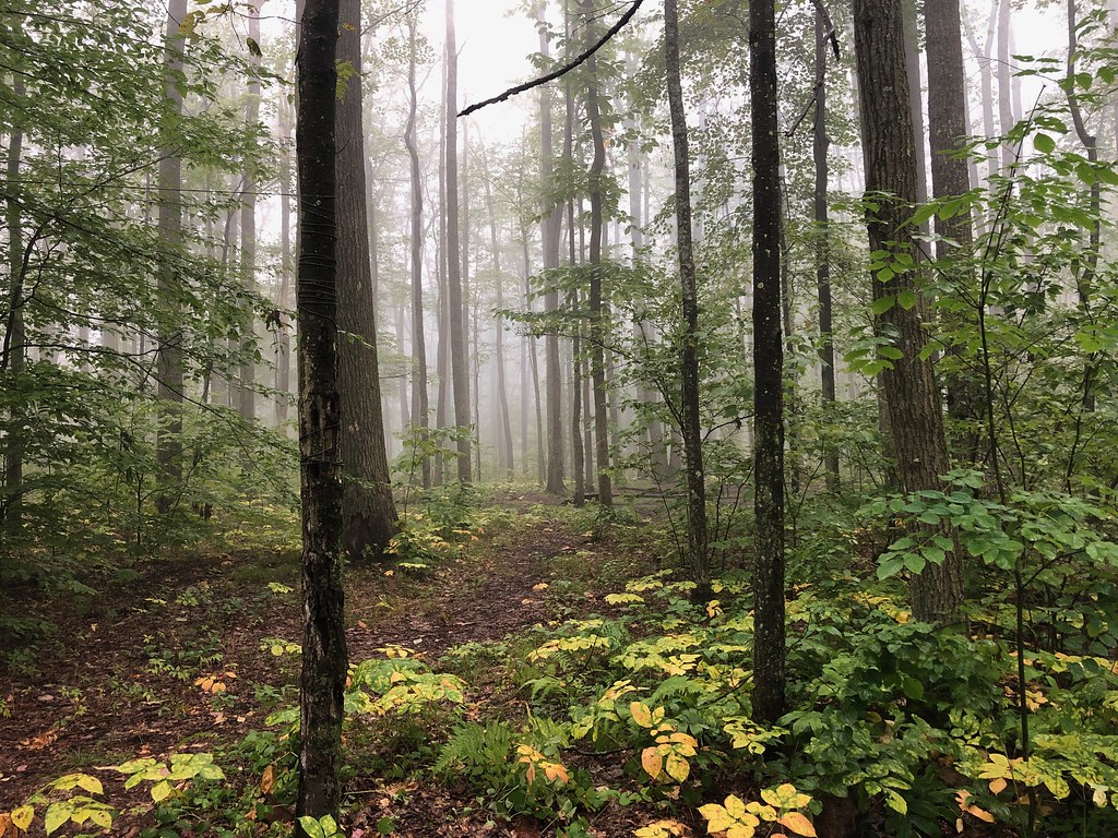
This rustic campground is located on the west bank of the Allegheny Reservoir just south of Webbs Ferry Boat Launch . It is accessible by boat.
Directions & GPX
Add to a trip & share
Keep exploring — more campsites worth the drive
Dewdrop
~15 min drive
A worthwhile stop near Pennsylvania.
Red Bridge (pa)
~22 min drive
A worthwhile stop near Pennsylvania.
Tracy Run Campsites
~2 min drive
Tracy Run Campsites is a campground in Pennsylvania.
Red Oak Campground
~3 min drive
Red Oak Campground is a campground in Pennsylvania at about 2,149 feet.
Willow Bay Campground
~4 min drive
Willow Bay Campground is a campground in Pennsylvania at about 1,374 feet. It is managed by the U.S. Forest Service.
Johnnycake Run Campsite
~4 min drive
Johnnycake Run Campsite is a campground in Pennsylvania.
Hopewell Boat Access Campground
~6 min drive
A worthwhile stop near Pennsylvania.
Tracy Ridge Campground
~6 min drive
Tracy Ridge Campground is a campground in Pennsylvania at about 2,233 feet. It is managed by the U.S. Forest Service.
East Camping Area
~8 min drive
East Camping Area is a campground in Pennsylvania at about 1,345 feet. It is managed by the U.S. Army Corps of Engineers.
West Camping Area
~8 min drive
West Camping Area is a campground in Pennsylvania at about 1,345 feet. It is managed by the U.S. Army Corps of Engineers.
Map and trail data © OpenStreetMap contributors
