North American RV Park & Yurt Village
Hiking business nearby (~37 mi away) — hasn't claimed their Roamze page yet
Montana
Free — you'll pick up right here.
0.6 mi
Distance
372 ft
Gain
22 min
Time
We won't guess. Here is exactly what we do and don't know.
What we do know
Inside Flathead National Forest
2 managing-area boundaries mapped — agency alerts for them feed this page automatically.
Boundary data
What's missing
No access route mapped
We don't yet know which road reaches this trailhead, so we can't tell you if it's gated.
Nobody's filed a report here yet — be the first.
Why you'll love it
Granite Sm Trail
Suggested plan · check conditions before you go
Granite Sm Trail is a 1.26-mile out-and-back route in Montana with 372 feet of elevation gain and loss. The trail reaches a maximum elevation of 5,179 feet.
Most of the climbing is in the middle stretch.
Source: Roamze elevation profile and trail geometry (DEM samples along the mapped route)
Active alerts for Flathead National Forest as of Oct 9, 2026:
Camp Creek Fire Updated Trail Closure
caution · posted Oct 5, 2026
Bear Creek Road 5398 closed for reconstruction through Nov. 1, 2026
caution · posted Oct 5, 2026
Jewel Basin Hiking Area Regulations
information · posted Aug 24, 2026
Three Forks of the Flathead River Regulations
information · posted Aug 24, 2026
information · posted Aug 24, 2026
Logan Creek Hoke Creek Closure
caution · posted Aug 24, 2026
Ryan Creek Occupancy and Use Order
caution · posted Aug 24, 2026
Trail 800 Tally-Ashely Closure
caution · posted Aug 24, 2026
Big Creek Canyon Creek Road 316 Closure for Emergency Repairs
information · posted Aug 24, 2026
FK&L Area Closed to Public Access Starting July 22, 2026
caution · posted Aug 24, 2026
Source: USFS forest alerts
Source: Roamze catalog (indexable pages within 10 miles, PostGIS distance)
 Photo: Forest Service - Northern Region, Public Domain Mark (via Flickr)
Castle Lake
~10 min drive
3.36-mile out-and-back trail in Montana with 860 ft elevation gain.
 Photo: Sam Beebe, CC BY 2.0 (via Flickr)
Red Plume
~11 min drive
Red Plume is a 9.32-mile out-and-back trail in Montana with 3,323 ft of elevation gain.
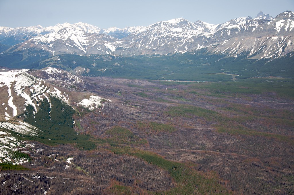 Photo: Sam Beebe, CC BY 2.0 (via Flickr)
Calf Mountain
~13 min drive
2.44-mile out-and-back trail in Montana with 495 ft gain
 Photo: w_lemay, CC BY-SA 2.0 (via Flickr)
Autumn Creek
~15 min drive
9.22-mile out-and-back trail in Montana with 1,998 ft gain/loss
Photo: Sam Beebe, CC BY 2.0 (via Flickr)Miner Creek
~11 min drive
20.18-mile out-and-back trail at Miner Creek in Montana with 2,247 ft of elevation gain.
 Photo: Loco Steve, CC BY 3.0 (via Wikimedia Commons)
Summit Trailhead Connector Trail
~15 min drive
2.66-mile out-and-back trail in Montana with 705 ft elevation gain
 Photo: Sam Beebe, CC BY 2.0 (via Flickr)
Porter Creek
~15 min drive
4.68-mile out-and-back trail in Montana with 1,359 ft elevation gain.
Photo: Sam Beebe, CC BY 2.0 (via Flickr)Lodgepole Mtn.
~14 min drive
15.88-mile out-and-back trail at Lodgepole Mtn in Montana with 438 ft of elevation gain.
Photo: Loco Steve, CC BY 3.0 (via Wikimedia Commons)SUMMIT TH CONNECTOR
~16 min drive
2.82-mile out-and-back trail in Montana with 703 ft elevation gain
Flotilla Lake
~15 min drive
4.45-mile out-and-back trail to Flotilla Lake in Montana with 394 ft of elevation gain.
Map and trail data © OpenStreetMap contributors
Local operatorsoffering guided trips. You book directly with them — Roamze doesn’t take a cut.
North American RV Park & Yurt Village
Hiking business nearby (~37 mi away) — hasn't claimed their Roamze page yet
Rocky Mountain Outfitter
Hiking business nearby (~45 mi away) — hasn't claimed their Roamze page yet
