
The Hemlocks RV & Lodging
Camping business nearby (~9 mi away) — hasn't claimed their Roamze page yet
BONNERS FERRY, Idaho
No account needed. We'll keep it on this device.
We won't guess. Here is exactly what we do and don't know.
What we do know
Inside Idaho Panhandle National Forests
2 managing-area boundaries mapped — agency alerts for them feed this page automatically.
Boundary data
What's missing
No access route mapped
We don't yet know which road reaches this trailhead, so we can't tell you if it's gated.
Nobody's filed a report here yet — be the first.
Live from Recreation.gov for Deer Ridge Lookout.
Deer Ridge Lookout
Suggested plan · check conditions before you go
Want dates, gear and meals worked out too?
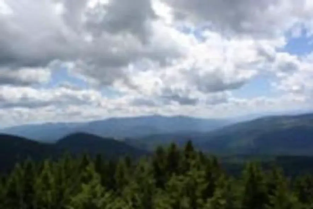
Overview Deer Ridge Lookout, perched on a 40 foot timber frame, boasts excellent views of the Purcell mountain ranges of Northern Idaho, Canada and Montana. Located 24 miles northeast of Bonners Ferry, guests can enjoy magnificent scenery, hiking and wildlife watching. The lookout can be accessed by car and the gravel road to the lookout is well maintained. Recreation Hiking and viewing the scenery are two well-loved activities at the facility. Hiking trails from the lookout follow along the Deer Ridge and Ruby Ridge. Huckleberry picking is enjoyed from August to September. Fly fishing is available in the Moyie River, where anglers can cast for rainbow and brook trout. Make sure to check all regulations and secure all permits with the local Fish and Wildlife department before heading out. Facilities The 14' X 14' cabin has a wraparound catwalk, with a trap door that lifts for access to the tower's entrance staircase. The staircase is steep and is not recommended for small children. Furnishings include two twin beds, two chairs, a dresser and a table. A pit toilet is located 50 yards away. No water is available. Guests should bring plenty of water for drinking, cooking and washing. Cooking is not permitted in the lookout. All cooking should be done outside and at ground level. Guests should bring a tarp to block the rain. Other items to bring include bedding, a first aid kit, towels and flashlights. Natural Features The Lower Kootenai River Area (Bonners Ferry District) is bordered by the Purcell and Cabinet Ranges and the Montana Line on the east, the rugged Selkirk Range on the west, and the Canadian border to the north. The Kootenai River meanders north and west through the District, and the Moyie River joins it from the north. Peaks are moderate in elevation (6000 - 7000 ft.) but are rugged due to heavy glaciation. They are renowned for their mountaineering challenge. The lookout is perched atop Deer Ridge at an elevation of 4,755 feet. The view from the facility includes the rugged Purcell mountain peaks and the beautiful Moyie River Valley and Moyie Springs. Elk, deer and black bears are among the wildlife in the area. Please be aware of and practice bear safety. Nearby Attractions The nearest town for groceries is Bonners Ferry, about 24 miles from the lookout.
Typical monthly averages (not a forecast) from the Yaak 9nne, MT weather station, 23 mi away. High / low in °F.
The station sits about 1,600 ft lower than this spot, so expect it to run cooler up here.
Active alerts for Bonners Ferry Ranger District as of Oct 9, 2026:
Twentymile Leonia Forest Service Road 408 Closure
information · posted Oct 7, 2026
Trail 16 Canyon Creek (Long Canyon) Closure
caution · posted Sep 30, 2026
Black Mountain / Forest Road 274
information · posted Aug 24, 2026
Source: USFS forest alerts
Source: Roamze catalog (indexable pages within 10 miles, PostGIS distance)
Deer Ridge Trail 01
~0 min drive
Deer Ridge Trail 01 is a campground in Montana with 5 sites.
Deer Ridge 03
~1 min drive
Deer Ridge 03 is a campground in Montana with 10 sites.
Deer Creek Road 12
~1 min drive
Deer Creek Road 12 is a 5-site campground in Montana managed by the Forest Service.
Deer Creek Road 15
~1 min drive
Deer Creek Road 15 is a campground in Montana with 5 sites.
Deer Ridge 01
~2 min drive
Deer Ridge 01 is a campground in Montana with 5 sites.
Deer Ridge 06
~2 min drive
Deer Ridge 06 is a campground in Montana with 5 sites.
Deer Ridge 05
~2 min drive
Deer Ridge 05 is a campground in Montana with 5 sites.
Deer Creek Road 10
~2 min drive
Deer Creek Road 10 is a campground in Montana with 5 sites.
Deer Creek Road 06
~3 min drive
5-site Forest Service campground on Deer Creek Road in Montana.
Deer Creek Road 07
~3 min drive
Deer Creek Road 07 is a campground in Montana with 5 sites.
Local operators near BONNERS FERRYoffering guided trips. You book directly with them — Roamze doesn’t take a cut.
The Hemlocks RV & Lodging
Camping business nearby (~9 mi away) — hasn't claimed their Roamze page yet
Kootenai River Campground
Camping business nearby (~25 mi away) — hasn't claimed their Roamze page yet
Nordman Resort
Camping business nearby (~41 mi away) — hasn't claimed their Roamze page yet
