
VIP RV Resort
Fishing business nearby (~26 mi away) — hasn't claimed their Roamze page yet
Free — you'll pick up right here.
Watch this water
Sign up to watch it — saving subscribes you to gate, closure and report changes.
Arizona
We won't guess. Here is exactly what we do and don't know.
What we do know
Inside Tonto National Forest
2 managing-area boundaries mapped — agency alerts for them feed this page automatically.
Boundary data
What's missing
No access route mapped
We don't yet know which road reaches this trailhead, so we can't tell you if it's gated.
Nobody's filed a report here yet — be the first.
Why you'll love it
Burnt Corral Campground
AI-suggested draft · review before you go
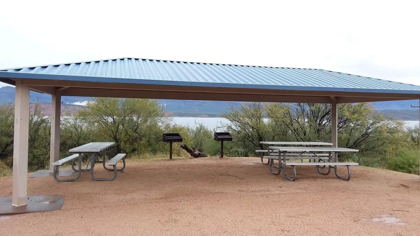
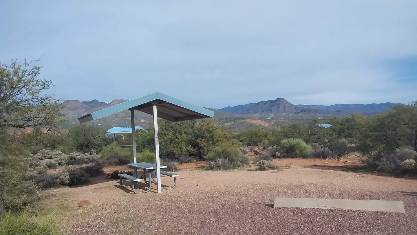
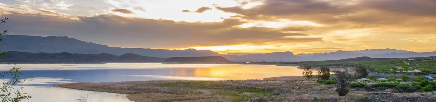
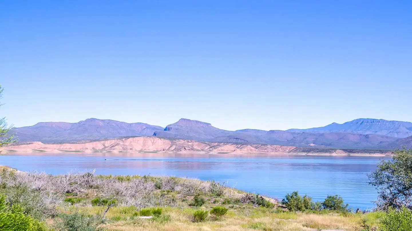
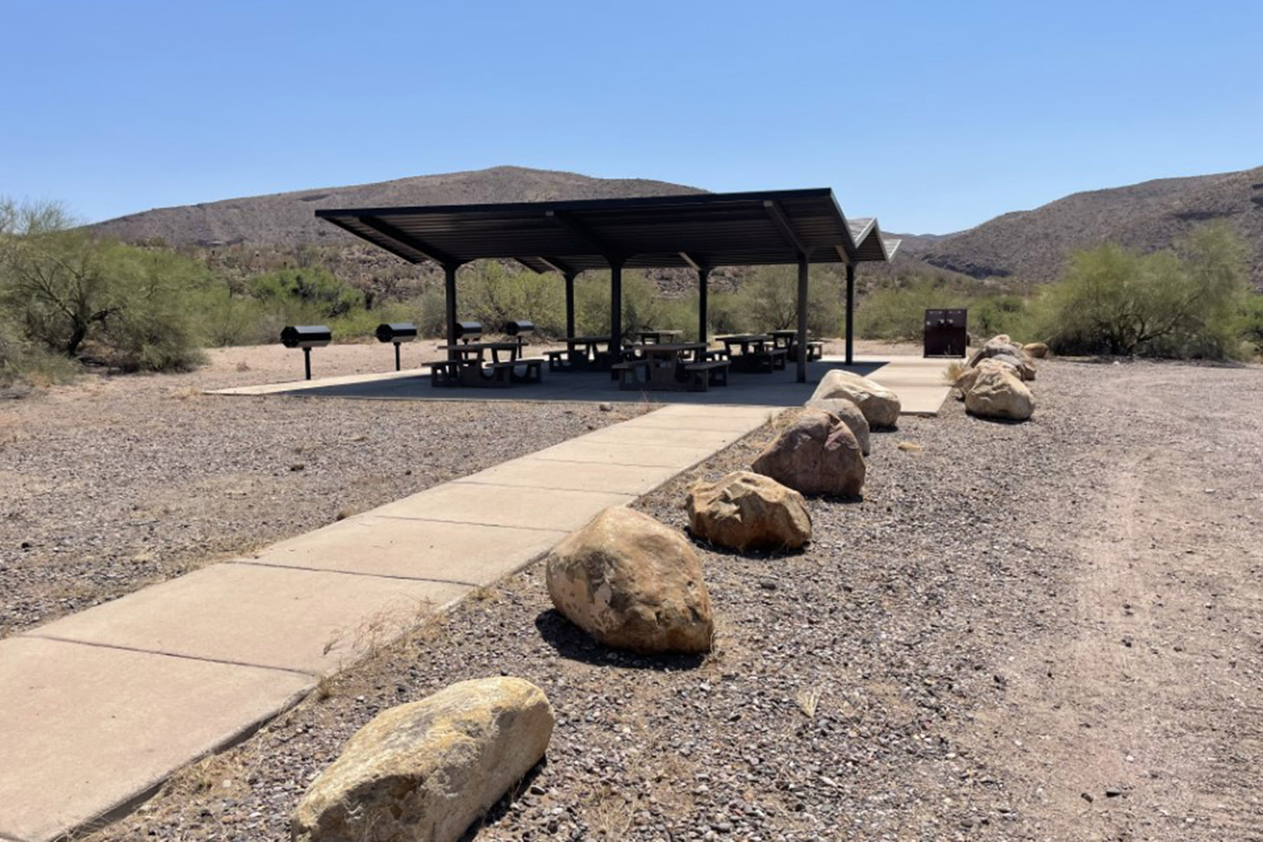
Overview Burnt Corral Campground and Recreation Area (elevation 1914') is about 5.8 miles south of Roosevelt Dam along the Apache Trail (AZ Hwy 88) along the shoreline of Apache Lake. It is nestled amongst the saguaros, mesquites, and palo verdes, and offers opportunities to boat, swim, fish, relax, hike, and sightsee. Recreation Burnt Corral Campground offers something for almost everyone. Motorboating, fishing, water-skiing, and paddlesports are very popular because of the developed and undeveloped lake access from within the campground. Others may enjoy hiking nearby trails, being challenged by local jeep trails, or practicing their landscape photography, or simply relaxing with a good book. Facilities Burnt Corral Campground includes 76 camp units, vault toilets, potable water hydrants, 6 day-use picnic units, paved boat launch, boat boarding dock; Each campsite includes a parking spur, fire ring with grill, a shade ramada, and a picnic table. This campground provides access to visitors who are mobility impaired. Natural Features Burnt Corral Campground is situated in what may be the most stunning Sonoran Desert landscape in Arizona. The contrast of sunshine, clear blue water, and saguaro's surrounded by the Four Peaks and Superstition Wilderness' is a magnificant sight to see. While shade is scarce in the desert, campsites are situated amongst mature mesquite and palo verde trees, and desert chaparral. Apache Lake is 17 miles long making it the longest in the chain of reservoirs on the lower Salt River below Roosevelt Dam. Nearby Attractions Roosevelt Dam, Apache Lake Marina, Tortilla Flats, Tonto National Monument (Cliff Dwellings), Roosevelt Lake, Apache Trail Scenic Byway (AZ Hwy 88), Spines to Pines Scenic Byway (AZ Hwy 288). The City of Globe and Town of Payson are only an hour away.
Cave Creek Group Site
~1h 17m drive
A worthwhile stop near Arizona.
Frazier Group Campground
~9 min drive
A worthwhile stop near Arizona.
Christmas Recreation Site
~1h 22m drive
A worthwhile stop near Arizona.
Schoolhouse Campground
~19 min drive
A worthwhile stop near Arizona.
Cholla Campground
~12 min drive
A worthwhile stop near Arizona.
Crook Campground
~1h 25m drive
A worthwhile stop near Arizona.
Shores Recreation Site
~1h 25m drive
A worthwhile stop near Arizona.
Windy Hill Campground
~12 min drive
A worthwhile stop near Arizona.
Willow Springs Lake Fishing and Boating Site
~1h 26m drive
A worthwhile stop near Arizona.
Indian Point
~19 min drive
A worthwhile stop near Arizona.
Local operators near Fort McDowelloffering guided trips. You book directly with them — Roamze doesn’t take a cut.
VIP RV Resort
Fishing business nearby (~26 mi away) — hasn't claimed their Roamze page yet
