Free — you'll pick up right here.
Watch this water
Sign up to watch it — saving subscribes you to gate, closure and report changes.
Arkansas
Aux Arc
We don't cover this water yet
No agency boundary, access route or field report is mapped to it — so there is no verdict, and we won't guess. We'll tell you the moment this water has something to say.
Covered nearby
Waters within 25 miles where we do have a current picture.
Nobody's filed a report here yet — be the first.
Why you'll love it




Here's your day on the water, mapped
Aux Arc
AI-suggested draft · review before you go
Gear for the day
Photos
Directions & GPX
About this water
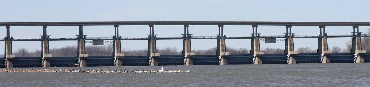
Overview Download a park map HERE Aux Arc Campground sits on the shores of Ozark Lake in the picturesque Arkansas River Valley. "Aux Arc" is a name that originated with French explorers when they mapped the territory. The term means "the big bend," describing the bend in the Arkansas River. Over time, the name was simplified to "Ozark," thus the name for Ozark Lake. Recreation Boating, hiking and picnicking are favorites with locals and visitors alike. Anglers find success with both boat and bank fishing, and popular fish species include catfish, bream, crappie and bass. Public land surrounding the lake yields deer, quail, squirrels, rabbits, dove, wild turkey, ducks and geese for hunting season. Facilities Aux Arc Campground offers spacious, shady campsites with electric and water hookups. Three picnic shelters, with electricity, can be reserved as well. Additional amenities include a dump station, two playgrounds, hot showers and a boat ramp.Natural Features Ozark Lake extends 36 miles along the Arkansas River. The shoreline of the lake varies from steep bluffs and tree-lined banks to open farm lands and level fields. Nearby Attractions Two of the largest wineries in the state are located in the nearby town of Altus. Here, large grape vineyards reminiscent of the European Rhineland dot the countryside.
Add to a trip & share
Keep exploring — more waters worth the drive
Cove Lake Recreation Area
~35 min drive
A worthwhile stop near Arkansas.
Outlet Area
~47 min drive
A worthwhile stop near Arkansas.
Springhill
~49 min drive
A worthwhile stop near Arkansas.
Old Post Road
~1h 9m drive
A worthwhile stop near Arkansas.
Piney Bay
~49 min drive
A worthwhile stop near Arkansas.
Poteau/Cold Springs Ranger District
~1h 14m drive
A worthwhile stop near Arkansas.
Spadra
~34 min drive
A worthwhile stop near Arkansas.
Lake Nimrod
~59 min drive
Easy
Russellville State Park
~1h 3m drive
A worthwhile stop near Arkansas.
Stillwell Orchard Pond
~1h 25m drive
A worthwhile stop near Oklahoma.


