Free — you'll pick up right here.
Watch this water
Sign up to watch it — saving subscribes you to gate, closure and report changes.
Minnesota
Astrid Lake Area
No verdict for this water
We won't guess. Here is exactly what we do and don't know.
What we do know
Inside Superior National Forest
2 managing-area boundaries mapped — agency alerts for them feed this page automatically.
Boundary data
What's missing
No access route mapped
We don't yet know which road reaches this trailhead, so we can't tell you if it's gated.
Nobody's filed a report here yet — be the first.
Why you'll love it
Here's your day on the water, mapped
Astrid Lake Area
AI-suggested draft · review before you go
Gear for the day
Photos
Directions & GPX
About this water
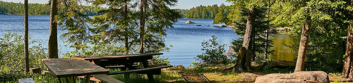
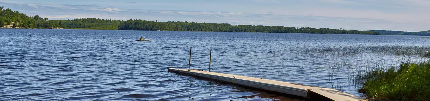
The Astrid Lake Area has 7 miles of hiking trail, 6 backcountry campsites and a canoe route with 4 interconnected lakes, including Astrid Lake, Maude Lake, Pauline Lake and Nigh Lake. The area provides an opportunity to experience wilderness-style camping without wilderness permits and regulations. Downloadabe map and information - Astrid Lake Hiking TrailDownloadable map and information - Hunting Shack River Canoe Route
Add to a trip & share
Keep exploring — more waters worth the drive
Echo Lake
~14 min drive
A worthwhile stop near Minnesota.
Birch Lake Campground
~1h 1m drive
A worthwhile stop near Minnesota.
Jeanette Lake
~4 min drive
A worthwhile stop near Minnesota.
Fenske Lake Campground
~37 min drive
A worthwhile stop near Minnesota.
Vermilion River - Tower Access
~37 min drive
Moderate
Pfeiffer Lake
~44 min drive
A worthwhile stop near Minnesota.
Little Trout Lake
~14 min drive
A worthwhile stop near Minnesota.
South Kawishiwi River
~60 min drive
A worthwhile stop near Minnesota.
Pekan Lake
~26 min drive
A worthwhile stop near Minnesota.
Fall Lake
~53 min drive
A worthwhile stop near Minnesota.
