Loading trail…

Free — you'll pick up right here.
Save this plan
Sign up to save your own editable copy — you'll pick up right here.
New Mexico
4.0 mi
Distance
694 ft
Gain
No conditions check on file for this trail yet — always verify current conditions before you go.
Why you'll love it
Los Pinos County Road
AI-suggested draft · review before you go
No permit or access details on file for this trail — check with the local land manager before you go.
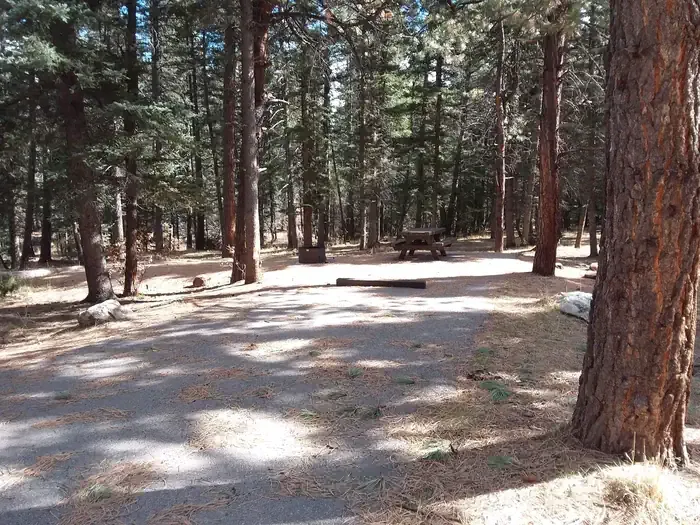
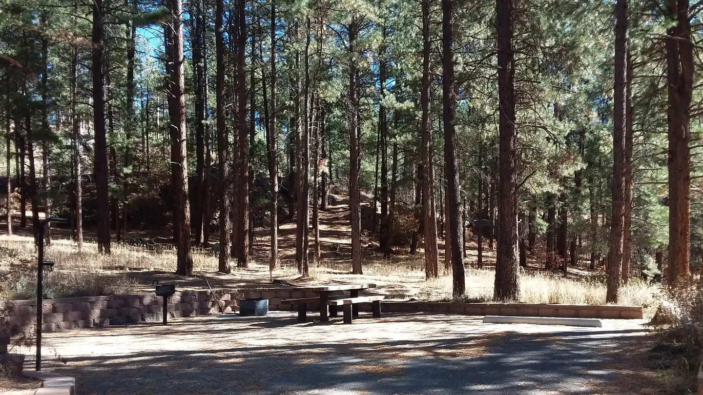
Los Pinos County Road offers a scenic 4-mile journey through New Mexico's high country with moderate elevation gain. This trail follows a historic county road through mixed conifer forest and open meadows, providing a relatively accessible way to experience the region's natural beauty. The steady climb rewards hikers with expansive views of the surrounding landscape.
Main Street
~2 min drive
Easy 0.93-mile urban trail with minimal elevation gain.
Los Pinos
~10 min drive
Challenging 12.44-mile trail with 2,598 ft elevation gain near Los Pinos.
Damian
~12 min drive
Scenic 4.71-mile New Mexico trail with 747 ft elevation gain and accessible hiking.
Coyote Admin
~31 min drive
Easy 1.11-mile loop with minimal elevation gain near Coyote.
Los Pinos Trail Head (95)
~7 min drive
Easy 0.33-mile walk at Los Pinos Trail Head with minimal elevation gain.
Upper Clear Creek
~12 min drive
Moderate creek-side hike with steady elevation gain and reliable water access.
Palomas
~16 min drive
Moderate 5.5-mile desert hike with 711 ft elevation gain near Palomas, NM.
Nogales
~45 min drive
Short desert hike near Nogales with gentle elevation gain.
Cdt - New Mexico Section
~8 min drive
Short, easy CDT section through New Mexico high desert.
Lucero
~12 min drive
Moderate 6.85-mile day hike with steady elevation gain near Lucero, NM.