Loading…

Free — you'll pick up right here.
Watch this trail
Sign up to watch it — saving subscribes you to gate, closure and report changes.
Nevada
1.5 mi
Distance
828 ft
Gain
We won't guess. Here is exactly what we do and don't know.
What we do know
Inside Death Valley National Park
National Park unit boundary is mapped — agency alerts for it feed this page automatically.
Boundary data
What's missing
No access route mapped
We don't yet know which road reaches this trailhead, so we can't tell you if it's gated.
Nobody's filed a report here yet — be the first.
Why you'll love it
Golden Canyon
AI-suggested draft · review before you go
There's gold in these hills! Of course, the gold isn't in the form of a precious metal, but instead refers to the incredible yellow coloration of the canyon walls. While a peek into the canyon mouth from the parking area will give visitors a glimpse of the canyon's secrets, hiking into the canyon offers so much more: towering walls, colorful side canyons beckoning for exploration, ripples formed by ancient water, now preserved in stone, the history of a road reclaimed in a flash-flood event, and the skittering of wildlife. This easy/moderate hike is 2 miles (3.2 km) round-trip, and involves one 3 foot (1 m) rock scramble. Although most hikers turn around at the junction to Red Cathedral, those looking for a more adventurous hike can continue an additional 0.5 miles (0.8 km) to the vertically fluted walls of a natural amphitheater- Red Cathedral (this involves scrambling and squeezing/crawling through rock spaces). An even longer trek- 7.8 miles (12.6 km), will take hikers to Zabriskie Point, before looping back to the parking area via Gower Gulch. Want to learn more? Check out the Golden Canyon Hike audio tour on the free NPS App. HIKING NOT ADVISED AFTER 10 AM IN THE SUMMER Round Trip Length: 2-7.8 miles (3.2-12.6 km) depending on route Round Trip Time: 1.5 to 4.5 hours depending on route Difficulty: Easy/Moderate Elevation Gain: 535 ft to 834ft (163m to 254m) Trail Type: Official trail; loop or out and back depending on route Location: 2 miles (3.2 km) south of CA-190 on Badwater Road Parking: Paved lot. Large spaces for RVs and buses. Closest Restroom: Vault toilet located in parking lot. No restroom along the trail. Do not leave toilet paper in the canyons. Route: A maze of canyons and badlands create many choose-your-own-adventure hiking opportunities. Free maps available at Furnace Creek Visitor Center. Note: pets are not allowed on any trail in Death Valley National Park, even if carried. Do not leave your animal in your vehicle. Speak with a ranger about one of the incredible dirt roads where you may walk your pet.
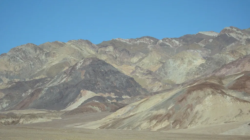
Desolation Canyon
~4 min drive
Colorful canyon walls and mud-cracked earth beckon those searching for an off-trail adventure. This spectacular canyon is less frequently explored than other areas of the park, and offers a challenging hike with incredible scenery. Upon entering the canyon, visitors find them…
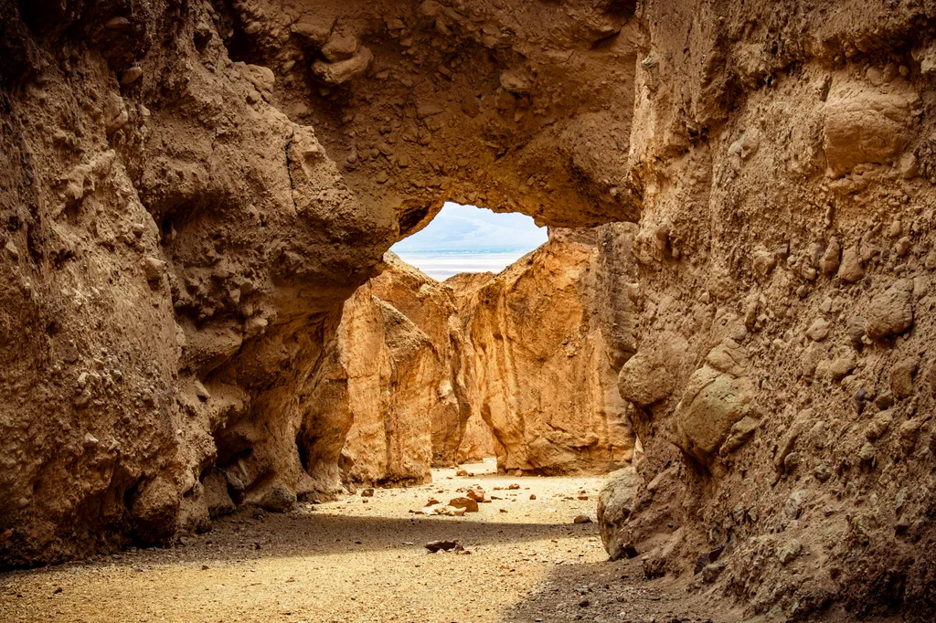
Natural Bridge
~18 min drive
Natural Bridge is a stunning geologic formation tucked back in a Death Valley canyon. This is an excellent short hike for families, geology lovers, and those who simply enjoy getting out and exploring. Although there is no official trail, a walk straight up the wash from the…
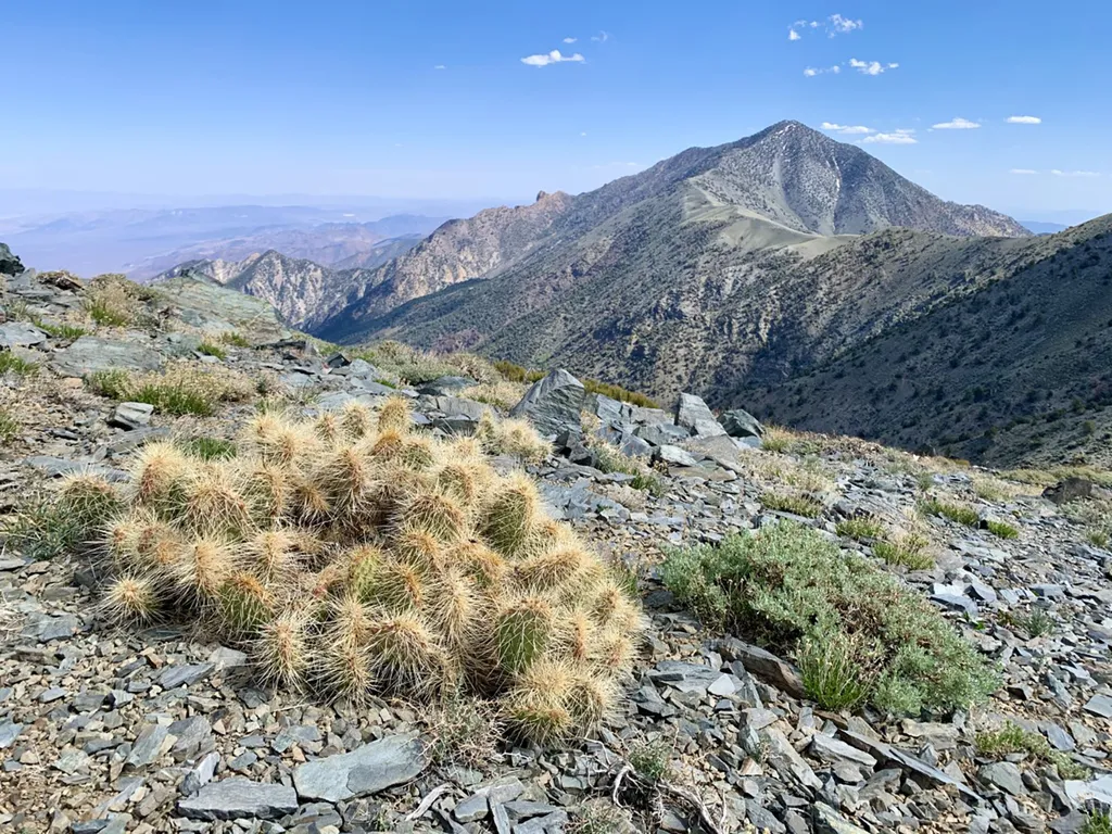
Telescope Peak
~38 min drive
The views from Telescope Peak are unsurpassed; to the east the swirling salt flats of Death Valley, and to the west the towering Sierra Nevada Mountains. At 11, 049 ft (3368 m), Telescope Peak is the tallest mountain in Death Valley National Park. This dramatic change in elev…
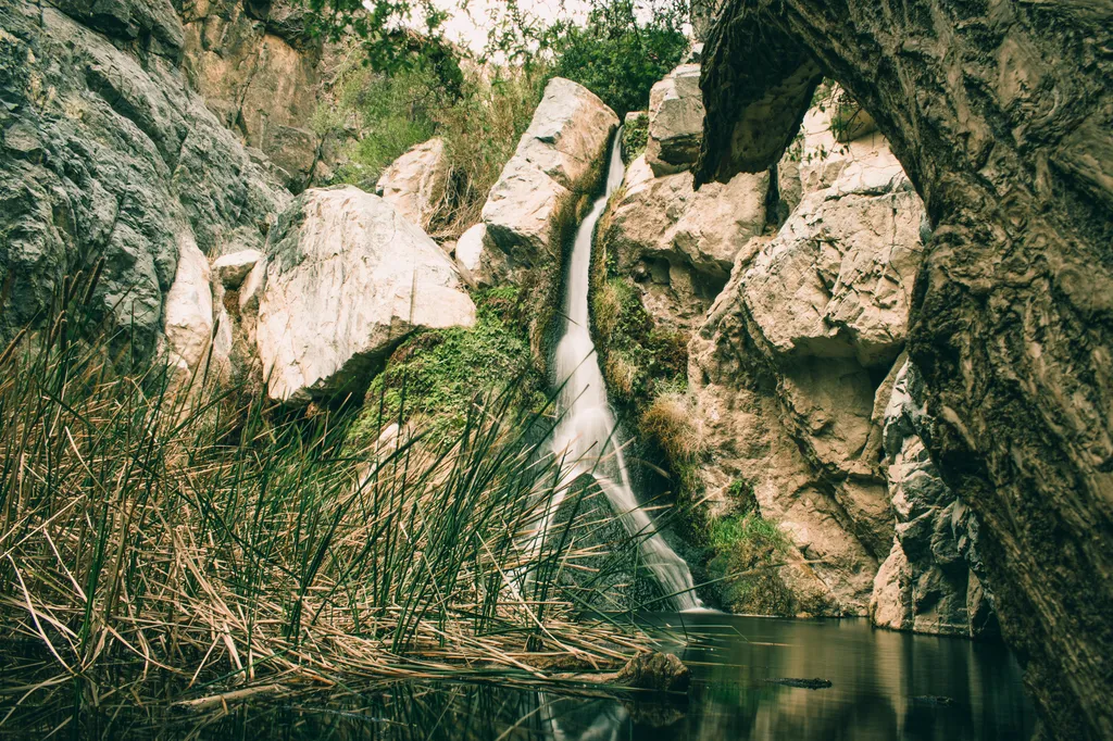
Darwin Falls
~1h 7m drive
Flowing water cascades into a shallow pool surrounded by lush green vegetation. The above description is not one often associated with Death Valley, but the arid Mojave Desert makes an exception at Darwin Falls. Nestled in an unassuming canyon with no water flowing beyond the…
Wildrose Peak
~31 min drive
Piñon pines, peaks, and panoramas in the Panamints! Many hikers choose Wildrose Peak over Telescope Peak, daunted by Telescope’s additional elevation gain and mileage. However, if you are looking for an easier hike, don’t be fooled; Wildrose is quite the challenge! This stren…
Also worth it near here