 Photo: Ammodramus, Public domain (via Wikimedia Commons)
Paddling · 60 spots
Featured spots
Photo: Ammodramus, Public domain (via Wikimedia Commons)Canoeing
Little Blue River
Campbell, Nebraska
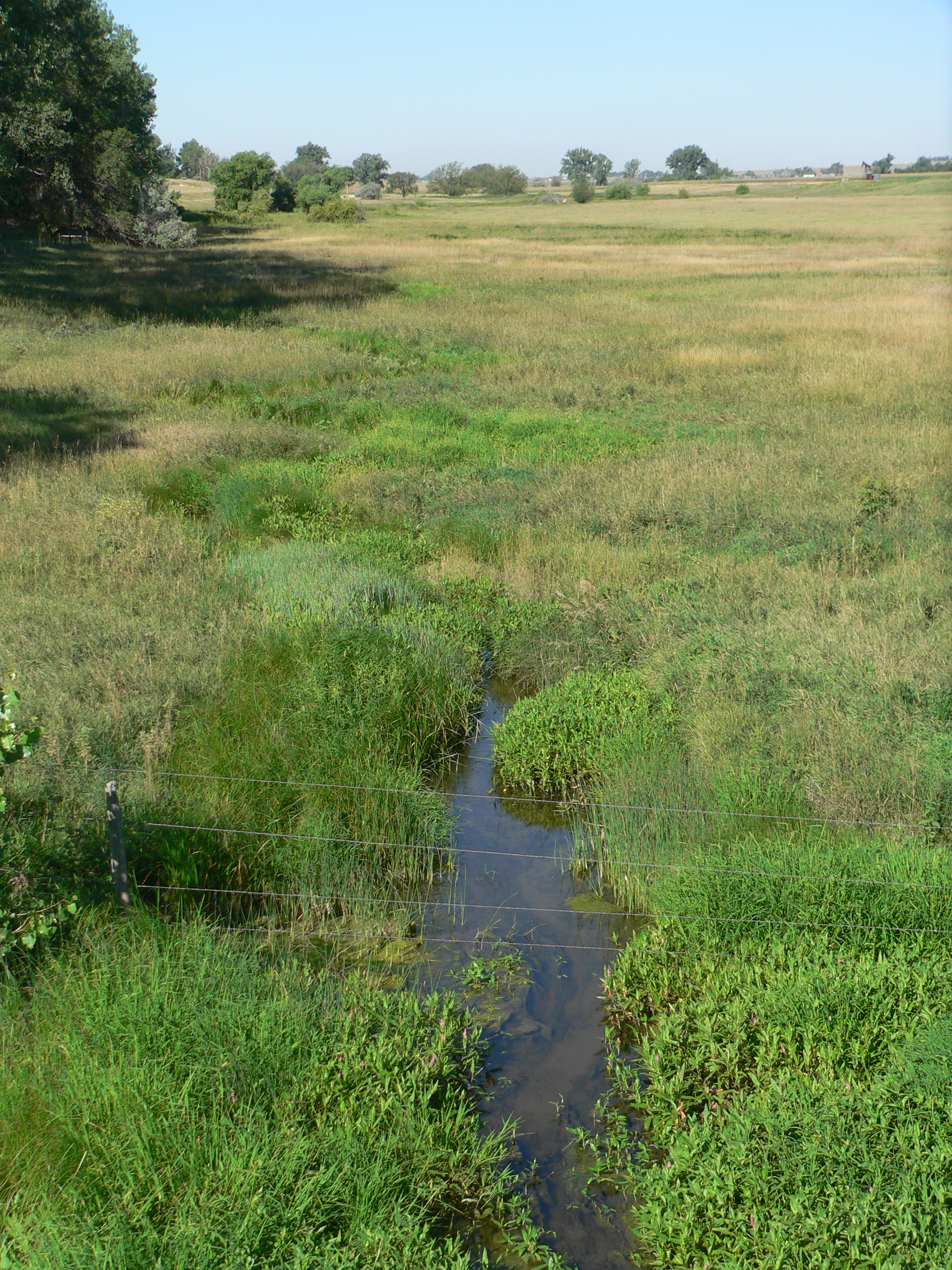 Photo: Ammodramus, Public domain (via Wikimedia Commons)
Canoeing
Lodgepole Creek
Kimball, Nebraska
 Photo: Ammodramus, CC0 (via Wikimedia Commons)
Canoeing
Medicine Creek
Curtis, Nebraska
 Photo: Ammodramus, Public domain (via Wikimedia Commons)
Canoeing
Niobrara River
Harrison, Nebraska
 Photo: CrunchySkies, CC BY-SA 3.0 (via Wikimedia Commons)
Canoeing
Salt Creek
Roca, Nebraska
All spots · 60 spots

Canoeing
Aowa Creek
Ponca, Nebraska

Canoeing
Beaver Creek
Danbury, Nebraska
Canoeing
Bell Creek
Craig, Nebraska

Canoeing
Big Indian Creek
Diller, Nebraska
Canoeing
Big Papillion Creek
Bennington, Nebraska
Canoeing
Big Sandy Creek
Davenport, Nebraska

Boat launch
Boat Landing
Nebraska

Boat launch
Bullhead Point Boat and Ramp
Nebraska
Boat launch
Canoe Ramp
Nebraska
Canoeing
Cub Creek
Plymouth, Nebraska
Canoeing
Cub Creek
Beatrice, Nebraska
Canoeing
Driftwood Creek
Culbertson, Nebraska
Canoeing
Elk Creek
Hubbard, Nebraska
Boat launch
Fort Niobrara Launch Site
Nebraska
Canoeing
Frenchman Creek
Imperial, Nebraska

Boat launch
Kayak and Canoe Launch
Nebraska
Canoeing
Lincoln Creek
York, Nebraska
Canoeing
Little Nemaha River
Palmyra, Nebraska
Canoeing
Logan Creek Dredge
Laurel, Nebraska
Canoeing
Maple Creek
North Bend, Nebraska
Boat launch
Methoist Cove Boat Ramp
Nebraska
Canoeing
Middle Branch Big Nemaha River
Firth, Nebraska
Canoeing
Minnechaduza Creek
Crookston, Nebraska
Canoeing
Mud Creek
Litchfield, Nebraska
Keep exploring — more water worth the drive
Prairie Creek
~26 min drive
Prairie Creek is a 107-mile paddling stretch near Saint Libory, Nebraska. It is intermittent and may run dry in some seasons. USGS models an average flow of about 41 cfs and a gradient of about 4.2 feet per mile.
Lincoln Creek
~52 min drive
Lincoln Creek is a 139-mile paddling stretch near York, Nebraska. It is intermittent and may run dry in some seasons. USGS models an average flow of about 68 cfs and a gradient of about 3.2 feet per mile.
West Fork Big Blue River
~1h 2m drive
West Fork Big Blue River is an 83-mile paddling stretch near Harvard, Nebraska. It is intermittent and may run dry in some seasons. USGS models an average flow of about 81 cfs and a gradient of about 3.7 feet per mile.
Shell Creek
~1h 11m drive
Shell Creek is a 91-mile paddling stretch near Humphrey, Nebraska. It is intermittent and may run dry in some seasons. USGS models an average flow of about 77 cfs and a gradient of about 4.9 feet per mile.
North Branch Big Blue River
~1h 23m drive
North Branch Big Blue River is a 25-mile paddling stretch near Rising City, Nebraska. It is intermittent and may run dry in some seasons. USGS models an average flow of about 48 cfs and a gradient of about 3.0 feet per mile.

