

Yellowstone Safari Company
Hiking business nearby (~47 mi away) — hasn't claimed their Roamze page yet
Free — you'll pick up right here.
Save this plan
Sign up to save your own editable copy — you'll pick up right here.
Montana
0.3 mi
Distance
133 ft
Gain
9 min
Time
No conditions check on file for this trail yet — always verify current conditions before you go.
Why you'll love it
WD3 Campsite Spur Trail
AI-suggested draft · review before you go
No permit or access details on file for this trail — check with the local land manager before you go.
This short out-and-back spur trail provides quick access to the WD3 Campsite in Montana's backcountry. Ideal for campers or day hikers seeking a brief walk to a designated camping area, this trail offers a straightforward approach through typical forest terrain.
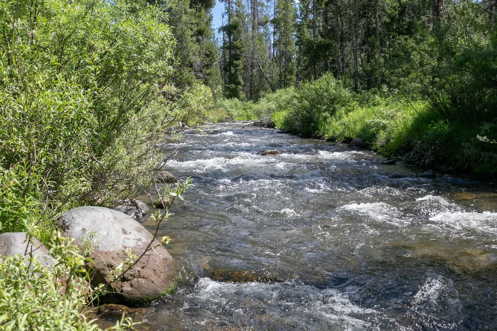
Specimen Creek Trailhead (WK3)
~15 min drive
The Specimen Creek trailhead is on the northwest side of Yellowstone near U.S. Highway 191. From this trailhead, you can embark on the following trail: Specimen Creek Trail Specimen Creek Trail A moderate to strenuous 16.4-mile (26.4 km) there-and-back trail that climbs thr…

Beaver Ponds Trail
~16 min drive
5.3 mi · Moderate
Mill Creek
~7 min drive
Moderate 8.96-mile creek-side hike with 2,529 ft elevation gain.
Maiden Falls
~14 min drive
Easy waterfall hike with modest elevation gain near Maiden Falls, Montana.
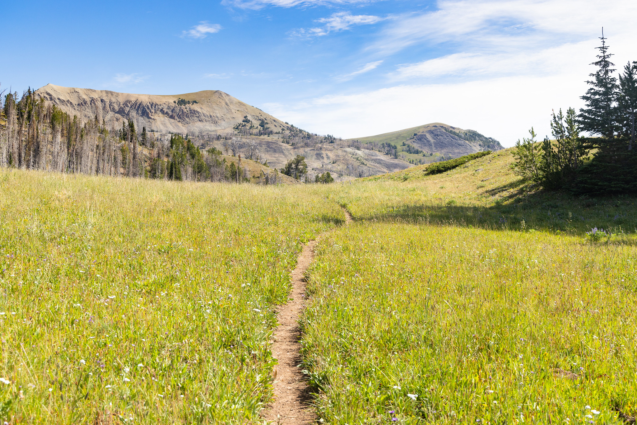
Fawn Pass Trailhead (WK5)
~15 min drive
The Fawn Pass trailhead is on the northwest side of Yellowstone near U.S. Highway 191. From this trailhead, you can embark on the following trail: Fawn Pass Trail Fawn Pass Trail This trail can either be a there and back 18-mile (28.9 km) strenuous hike to the top of Fawn P…
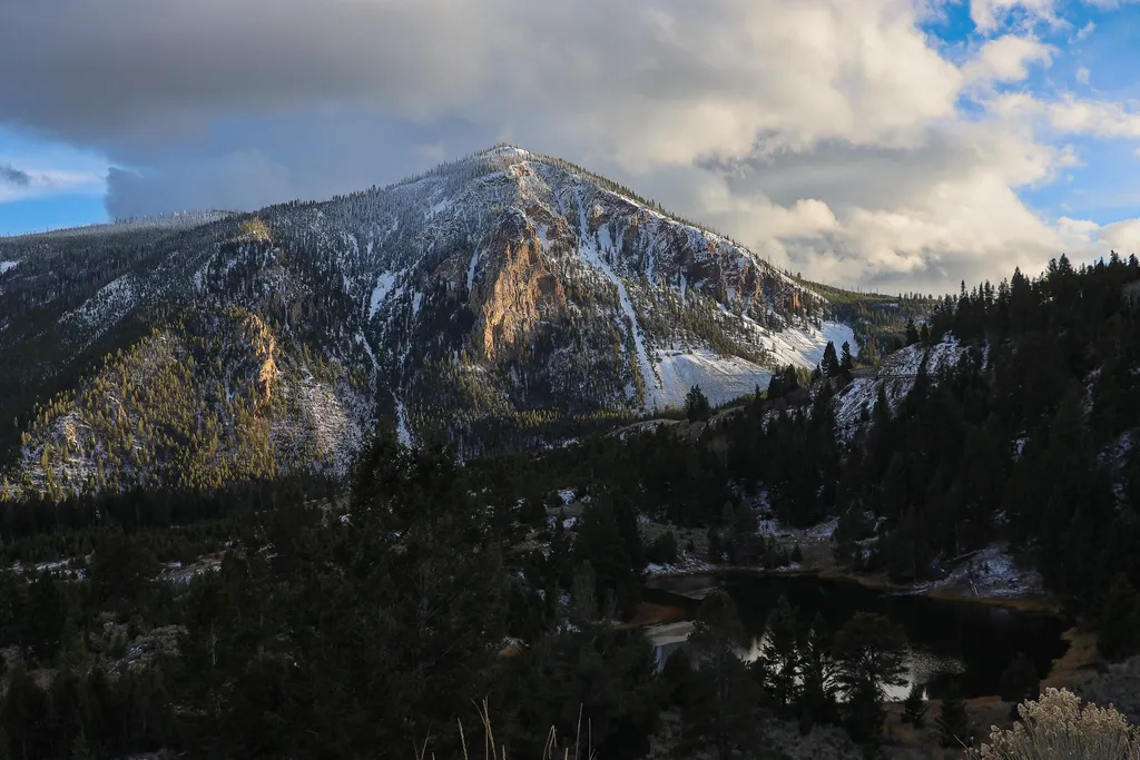
Bunsen Peak Overlook
~17 min drive
<p>Bunsen Peak prominently sits south of Mammoth Hot Springs. From this trailhead, you can embark on the following trails:</p> <ul> <li>Bunsen Peak Trail</li> <li>Bunsen Peak Road Trail</li> <li>Osprey Falls Trail</li> </ul> <p>Parking is limited. Winter trailhead access requi…
Beattie Gulch
~10 min drive
Challenging 11-mile gulch hike with 2,900 ft elevation gain in remote Montana.
Sphinx Creek
~18 min drive
Moderate 4-mile creek-side hike with 1,128 ft elevation gain.
Bacon Rind Trailhead (WK4)
~16 min drive
The Bacon Rind trailhead is on the northwest side of Yellowstone near U.S. Highway 191. From this trailhead, you can embark on the following trail: Bacon Rind Trail Bacon Rind Trail A strenuous 10.2-mile (16.4 km) there-and-back trail that climbs 2,400 feet (731 m) through…
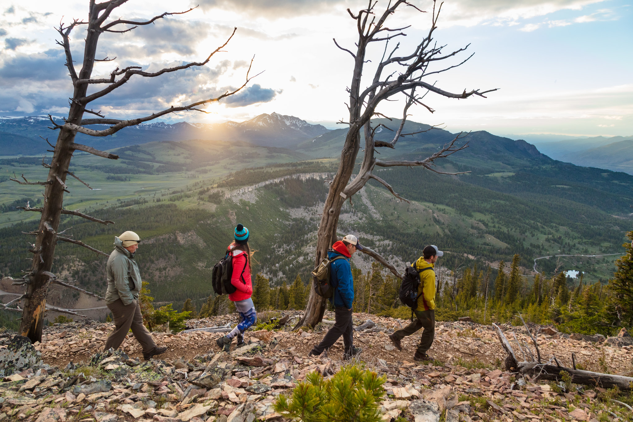
Bunsen Peak Trailhead (1K4)
~18 min drive
Bunsen Peak prominently sits south of Mammoth Hot Springs. From this trailhead, you can embark on the following trails: Bunsen Peak Trail Bunsen Peak Road Trail Osprey Falls Trail Parking is limited. Winter trailhead access requires a snow coach drop-off, or skiing up from…
Local operatorsoffering guided trips. You book directly with them — Roamze doesn’t take a cut.
Yellowstone Safari Company
Hiking business nearby (~47 mi away) — hasn't claimed their Roamze page yet