

Yellowstone Safari Company
Hiking business nearby (~44 mi away) — hasn't claimed their Roamze page yet
Free — you'll pick up right here.
Save this plan
Sign up to save your own editable copy — you'll pick up right here.
Montana
9.2 mi
Distance
3,928 ft
Gain
4h 7m
Time
No conditions check on file for this trail yet — always verify current conditions before you go.
Why you'll love it
Crescent Lake-High Lake Trail
AI-suggested draft · review before you go
No permit or access details on file for this trail — check with the local land manager before you go.
This out-and-back trail in Montana leads hikers through scenic alpine terrain to two pristine mountain lakes. The route traverses subalpine forest and meadows, offering views of the surrounding peaks and opportunities to explore the distinct character of each lake basin. This is a rewarding day hike for those seeking solitude and mountain lake beauty.
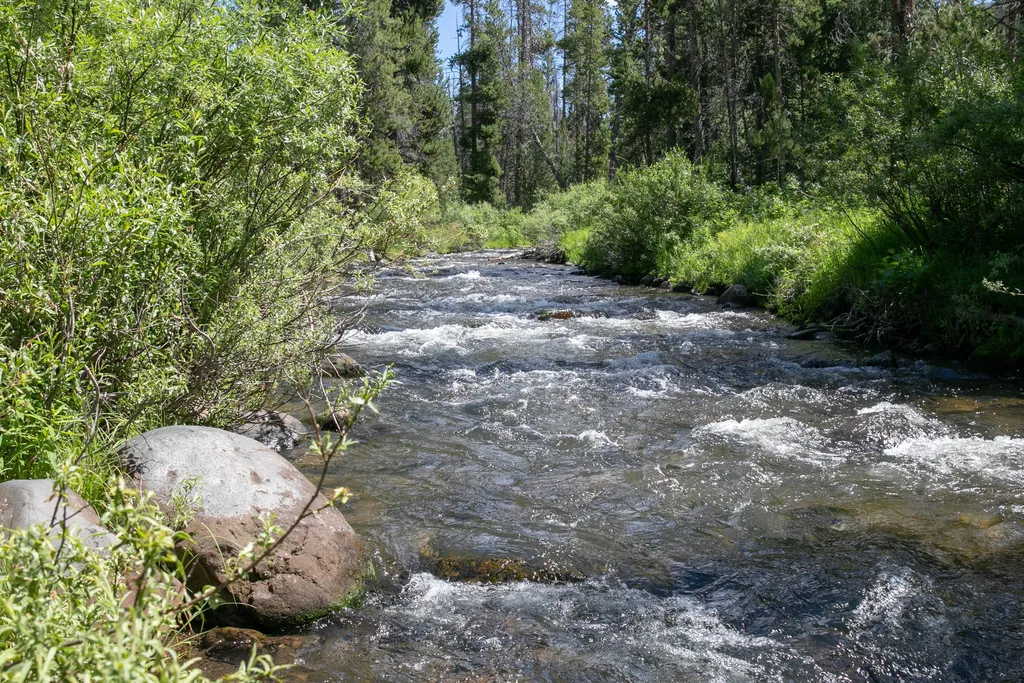
Specimen Creek Trailhead (WK3)
~13 min drive
The Specimen Creek trailhead is on the northwest side of Yellowstone near U.S. Highway 191. From this trailhead, you can embark on the following trail: Specimen Creek Trail Specimen Creek Trail A moderate to strenuous 16.4-mile (26.4 km) there-and-back trail that climbs thr…

Beaver Ponds Trail
~20 min drive
5.3 mi · Moderate
Mill Creek
~4 min drive
Moderate 8.96-mile creek-side hike with 2,529 ft elevation gain.
Sphinx Creek
~14 min drive
Moderate 4-mile creek-side hike with 1,128 ft elevation gain.
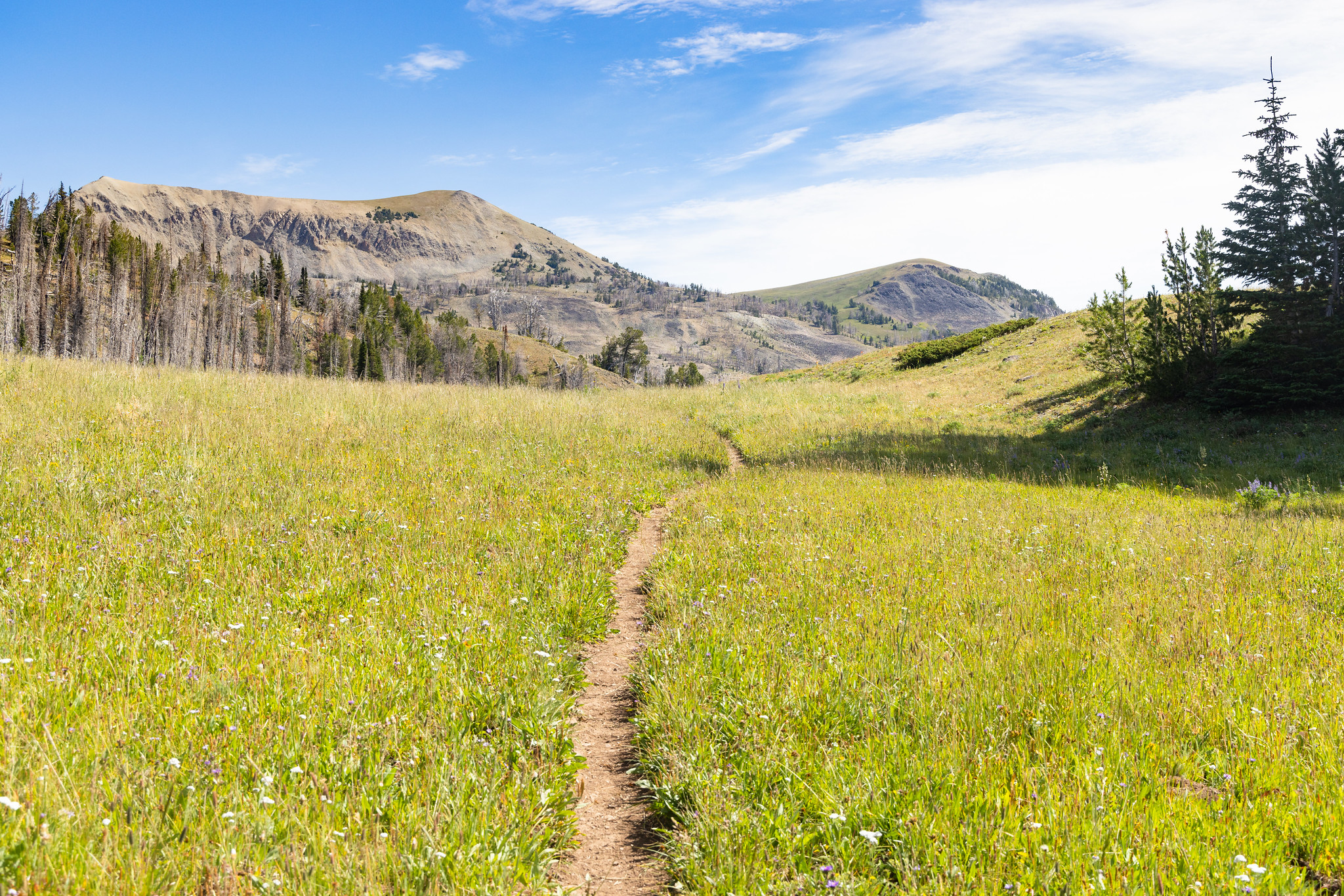
Fawn Pass Trailhead (WK5)
~16 min drive
The Fawn Pass trailhead is on the northwest side of Yellowstone near U.S. Highway 191. From this trailhead, you can embark on the following trail: Fawn Pass Trail Fawn Pass Trail This trail can either be a there and back 18-mile (28.9 km) strenuous hike to the top of Fawn P…
Mulherin
~5 min drive
Moderate 7.6-mile Montana hike with 823 ft elevation gain.
Sawtooth
~9 min drive
Moderate 7-mile climb with 2,000 ft gain to scenic ridgeline views.
Sunlight
~15 min drive
Scenic 3.74-mile hike with 821 ft elevation gain near Sunlight, Montana.
Bacon Rind Trailhead (WK4)
~16 min drive
The Bacon Rind trailhead is on the northwest side of Yellowstone near U.S. Highway 191. From this trailhead, you can embark on the following trail: Bacon Rind Trail Bacon Rind Trail A strenuous 10.2-mile (16.4 km) there-and-back trail that climbs 2,400 feet (731 m) through…
Buffalo Horn Pass
~15 min drive
Moderate 4.56-mile alpine pass crossing with 1,417 ft elevation gain.
Local operatorsoffering guided trips. You book directly with them — Roamze doesn’t take a cut.
Yellowstone Safari Company
Hiking business nearby (~44 mi away) — hasn't claimed their Roamze page yet