 Photo: Louisiana Sea Grant College Program Louisiana State University, CC BY 2.0 (via Wikimedia Commons)
Paddling · 4 spots
Featured spots



All spots · 4 spots
No additional spots match this filter.
Keep exploring — more water worth the drive
Photo: Louisiana Sea Grant College Program Louisiana State University, CC BY 2.0 (via Wikimedia Commons)Tickfaw River
~11 min drive
Tickfaw River is a 48-mile paddling stretch near Kentwood, Louisiana. It is intermittent and may run dry in some seasons. USGS models an average flow of about 305 cfs and a gradient of about 5.2 feet per mile.
Thickfall river launch boat
~1h 5m drive
Thickfall river launch boat is a boat launch in Louisiana.
 Photo: Infrogmation, CC BY 2.5 (via Wikimedia Commons)
Tchefuncte River
~26 min drive
Tchefuncte River is a 14-mile paddling stretch near Franklinton, Louisiana. It is intermittent and may run dry in some seasons. USGS models an average flow of about 230 cfs and a gradient of about 8.9 feet per mile.
Lake Okhissa Boating Site
~1h 6m drive
A worthwhile stop near Mississippi.
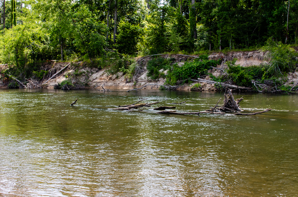 Photo: mcandrus, CC BY 2.0 (via Wikimedia Commons)
Bogue Chitto
~57 min drive
Bogue Chitto is a 9.7-mile paddling stretch near Bogue Chitto, Mississippi. It is intermittent and may run dry in some seasons. USGS models an average flow of about 1,940 cfs and a gradient of about 3.1 feet per mile.
Lake Azalea Boat Ramp
~1h 21m drive
Lake Azalea Boat Ramp is a boat launch in Louisiana.
Beaver Creek
~3 min drive
Beaver Creek is a 11-mile paddling stretch near Kentwood, Louisiana. It flows year-round. USGS models an average flow of about 45 cfs and a gradient of about 8.5 feet per mile.
Terrys Creek
~9 min drive
Terrys Creek is a 16-mile paddling stretch near Kentwood, Louisiana. It flows year-round. USGS models an average flow of about 109 cfs and a gradient of about 6.9 feet per mile.
Big Creek
~14 min drive
Big Creek is a 15-mile paddling stretch near Kentwood, Louisiana. It is intermittent and may run dry in some seasons. USGS models an average flow of about 68 cfs and a gradient of about 9.2 feet per mile.
East Fork Big Creek
~19 min drive
East Fork Big Creek is an 8.7-mile paddling stretch near Amite, Louisiana. It is intermittent and may run dry in some seasons. USGS models an average flow of about 57 cfs and a gradient of about 6.6 feet per mile.
Little Silver Creek
~21 min drive
Little Silver Creek is a 14-mile paddling stretch near Mount Hermon, Louisiana. It flows year-round. USGS models an average flow of about 69 cfs and a gradient of about 8.1 feet per mile.
Darling Creek
~25 min drive
Darling Creek is a 14-mile paddling stretch near Greensburg, Louisiana. It flows year-round. USGS models an average flow of about 90 cfs and a gradient of about 6.2 feet per mile.

