Free — you'll pick up right here.
Watch this water
Sign up to watch it — saving subscribes you to gate, closure and report changes.
Georgia
Blue Ridge Ranger District
No verdict for this water
We won't guess. Here is exactly what we do and don't know.
What we do know
Inside Chattahoochee-Oconee National Forests
2 managing-area boundaries mapped — agency alerts for them feed this page automatically.
Boundary data
What's missing
No access route mapped
We don't yet know which road reaches this trailhead, so we can't tell you if it's gated.
Nobody's filed a report here yet — be the first.
Why you'll love it
More spots nearby
Nottely Lake
6.6 mi · Reservoir · largemouth_bass, spotted_bass
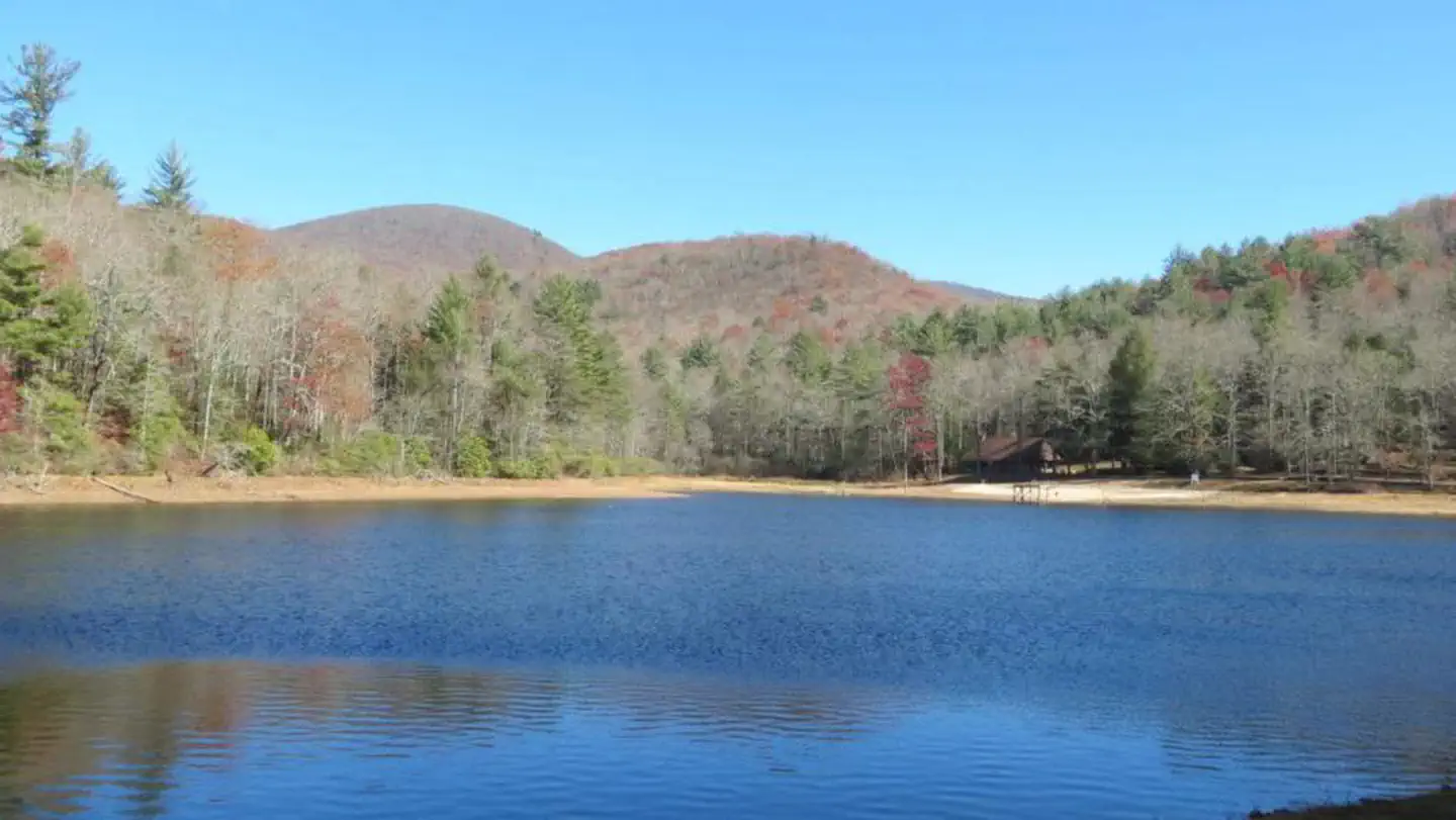
Lake Winfield Scott Recreation Area
10.3 mi · Coastal
Chatuge Lake - Jackrabbit Mountain Area
10.8 mi · Reservoir · largemouth_bass, smallmouth_bass
Harold Wells Lake
11.9 mi · Lake
Smithgall Woods State Park - Dukes Creek
13.3 mi · rainbow_trout, brown_trout
Nottely Lake
6.6 mi · Reservoir · largemouth_bass, spotted_bass
Lake Winfield Scott Recreation Area
10.3 mi · Coastal
Chatuge Lake - Jackrabbit Mountain Area
10.8 mi · Reservoir · largemouth_bass, smallmouth_bass
Harold Wells Lake
11.9 mi · Lake
Smithgall Woods State Park - Dukes Creek
13.3 mi · rainbow_trout, brown_trout
Here's your day on the water, mapped
Blue Ridge Ranger District
AI-suggested draft · review before you go
Gear for the day
Photos
Directions & GPX
About this water
The Blue Ridge Ranger District is the central part of the Chattahoochee National Forest. The district office is on the north side of US Highway 76, 1.5 miles west of the intersection of US 76 and US 19 in the town of Blairesville, GA.Recreation Activity Overview
Add to a trip & share
Keep exploring — more waters worth the drive
Thunder Rock Campground
~54 min drive
A worthwhile stop near Tennessee.
Lake Winfield Scott Recreation Area
~18 min drive
A worthwhile stop near Georgia.
Donley Cabin
~55 min drive
A worthwhile stop near Tennessee.
Nottely Lake
~11 min drive
Easy
Toccoa River - Below Blue Ridge Dam
~30 min drive
Moderate
Massey Branch Fishing Pier
~57 min drive
A worthwhile stop near North Carolina.
Cohutta Wilderness - Jacks River
~1h 1m drive
Hard
Harold Wells Lake
~20 min drive
A worthwhile stop near North Carolina.
Morganton Point
~25 min drive
A worthwhile stop near Georgia.
Mcnabb Creek Group
~56 min drive
A worthwhile stop near Tennessee.

