Elbert Creek Campground
Campground
Campground · 2.7 mi from the trail
 Photo: Gaep13 at en.wikipedia), Public domain (via Wikimedia Commons)
Closure in the area
There's a closure order in Leadville Ranger District. It doesn't name Mount Massive Southwest Slopes, so check the source for the area it covers.
Willow Fire Area Closure
Agency closure covering Leadville Ranger District · Order 02-12-01-26-39 · USFS · Leadville Ranger District
FSR 286, Radical Hill, is closed due to washouts and unsafe conditions
Agency alert covering Pike and San Isabel National Forests · USFS · Pike and San Isabel National Forests
Interlaken Hotel and Annex Area closure
Agency alert covering Leadville Ranger District · Order 02-12-01-26-19 · USFS · Leadville Ranger District
Interlaken Hotel Tree Hazards
Agency alert covering Pike and San Isabel National Forests · USFS · Pike and San Isabel National Forests
Sharpe Fire Update
Agency alert covering Pike and San Isabel National Forests · USFS · Pike and San Isabel National Forests
As of · Source: USFS · Leadville Ranger District. Agencies don't list every closure — check before you go.
Mount Massive Southwest Slopes is the shorter way up Mount Massive (14,421 feet), in the Leadville Ranger District of the Pike and San Isabel National Forests in Colorado. It starts at the North Halfmoon Creek Trailhead at about 10,545 feet, at the end of a rough road that needs a high-clearance 4WD vehicle. The route follows the North Halfmoon Lakes Trail, then the Mt. Massive/North Halfmoon trail up the mountain's southwest side to the summit. It is an out-and-back of about 7.4 miles with roughly 3,980 feet of climbing, rated hard. The trail is natural surface, and bikes are not allowed. Without a 4WD vehicle, park at the Mount Massive Trailhead lower on the road: walking the road adds about 5 miles round trip, or the East Slopes route starts from that lot. Elbert Creek Campground is about 2.7 miles away, and the nearest town is Twin Lakes, about 8.5 miles off.
Elbert Creek Campground
Campground
 If it rainsLongled, CC BY-SA 3.0 · Wikimedia Commons
Historic frontier synagogue building
Places © OpenStreetMap contributors, Places © Overture Maps Foundation · Photos: Longled, CC BY-SA 3.0 (commons)
More in LeadvilleDaily highs and lows, wind and the chance of precipitation at the summit and route start for the next 7 days, from the Open-Meteo model.
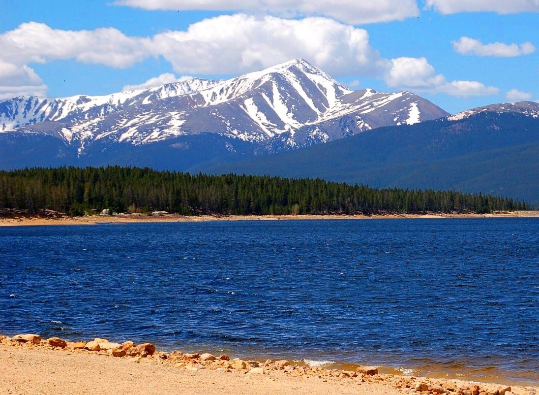 Mount ElbertSummitPhoto: Hogs555 (talk · contribs), CC BY-SA 4.0 (via Wikimedia Commons)2.7 mi
Source: Roamze catalog (indexable pages within 10 miles, PostGIS distance)
Mount Massive East SlopesHiking · ~4 min drivePhoto: Gaep13 at en.wikipedia), Public domain (via Wikimedia Commons) Black Cloud TrailHiking · ~5 min drivePhoto: jl_2, CC BY-SA 2.0 (via Flickr)
 North Fork Lake CreekHiking · ~7 min drivePhoto: markbyzewski, CC BY 2.0 (via Flickr)
 Deer MountainHiking · ~8 min drivePhoto: Toshihiro Matsui, CC BY-SA 3.0 (via Wikimedia Commons)
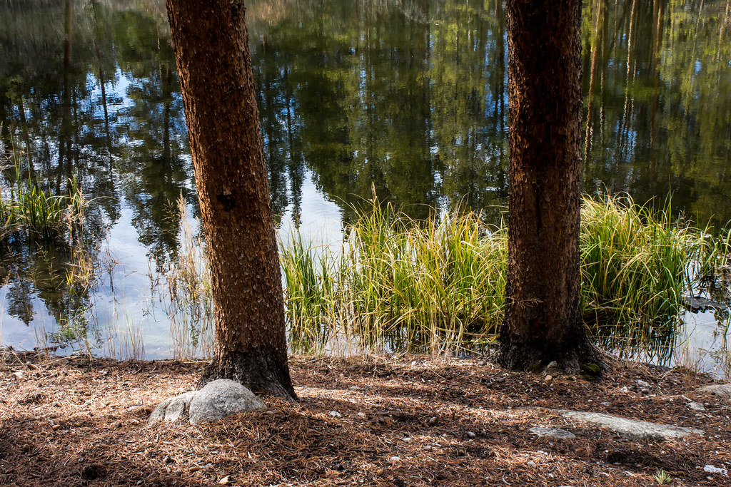 Rock CreekHiking · ~10 min drivePhoto: markbyzewski, CC BY 2.0 (via Flickr)
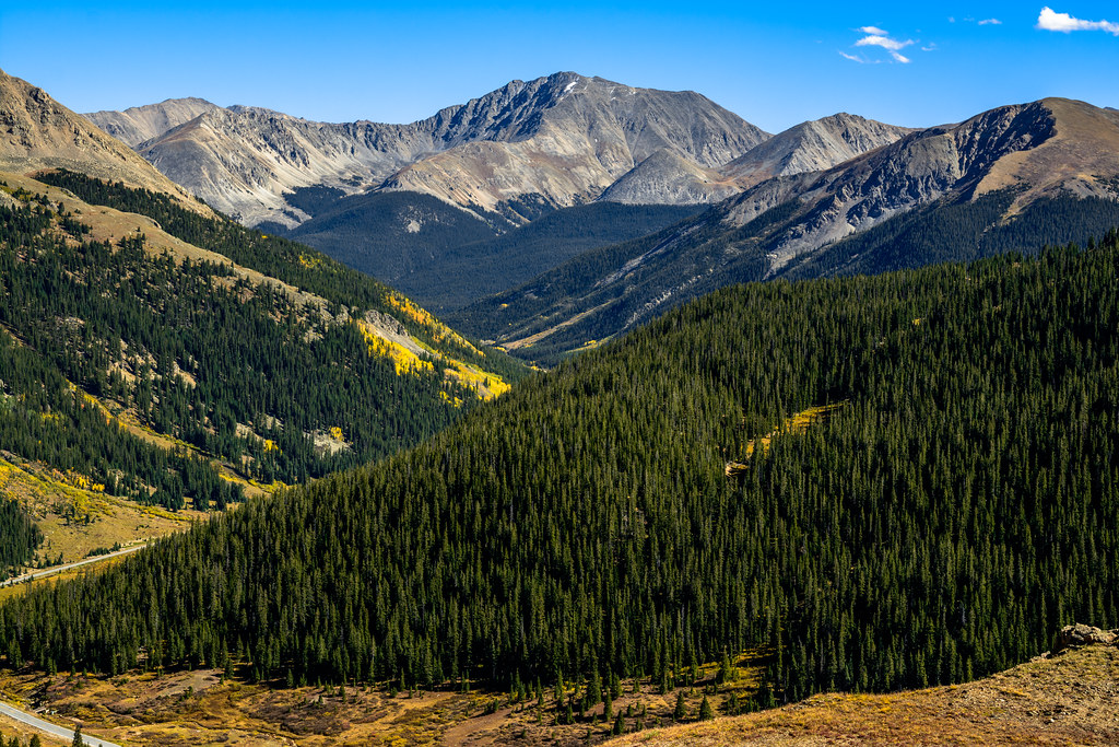 Independance Pass OverlookHiking · ~11 min drivePhoto: dconvertini, CC BY-SA 2.0 (via Flickr)MOUNTAIN BOYHiking · ~11 min drivePhoto: Toshihiro Matsui, CC BY-SA 3.0 (via Wikimedia Commons)
 Mount BlaurockHiking · ~12 min drivePhoto: jonathan c. wheeler, CC BY-SA 3.0 (via Wikimedia Commons)
 La Plata PeakHiking · ~13 min drivePhoto: kalestews, CC BY 2.0 (via Flickr)
 Twin LakesHiking · ~10 min drivePhoto: Frans-Banja Mulder, CC BY 3.0 (via Wikimedia Commons)
Season: Year-round.
About 7.4 mi round trip from North Halfmoon Creek Trailhead (4WD) (about 10,545 ft).
About 3,980 ft of climbing round trip.
It is rated hard.
North Halfmoon Creek Trailhead (4WD) (about 10,545 ft).
Year-round.
2: Mount Massive Southwest Slopes and Mount Massive East Slopes.
© openrouteservice.org by HeiGIT | Map data © OpenStreetMap contributors

