Loading…

Free — you'll pick up right here.
Watch this trail
Sign up to watch it — saving subscribes you to gate, closure and report changes.
California
4.5 mi
Distance
6,882 ft
Gain
We won't guess. Here is exactly what we do and don't know.
What we do know
Inside Eldorado National Forest
2 managing-area boundaries mapped — agency alerts for them feed this page automatically.
Boundary data
What's missing
No access route mapped
We don't yet know which road reaches this trailhead, so we can't tell you if it's gated.
Nobody's filed a report here yet — be the first.
Why you'll love it
Polaris
AI-suggested draft · review before you go
No permit or access details on file for this trail — check with the local land manager before you go.
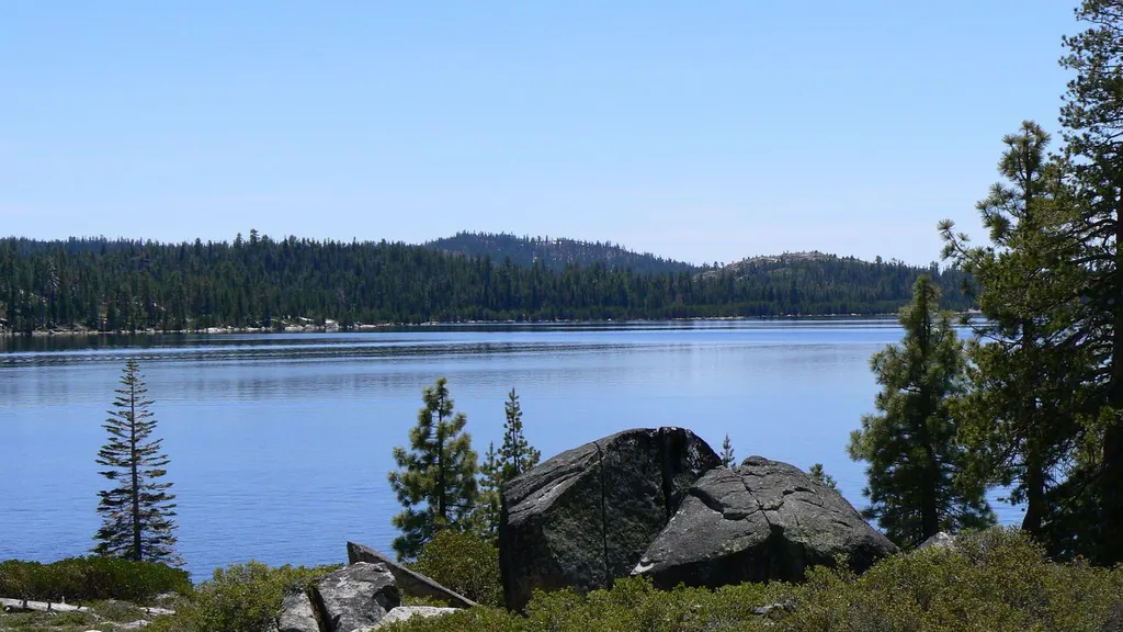
The Polaris Trail is a steep, high-elevation alpine climb that gains nearly 7,000 feet over just 4.5 miles, making it one of California's most intense short-distance hikes. This expert-level route ascends into the Sierra Nevada high country with relentless elevation gain and demanding terrain. Hikers can expect thin air, exposed ridges, and spectacular alpine vistas as rewards for the significant physical challenge.
Berts Lake
~0 min drive
Easy 1.67-mile alpine lake hike with 306 ft elevation gain.
Shadow Trail
~1 min drive
Moderate 9-mile hike with 1,200 ft gain through scenic California backcountry.
Shadow Lake
~6 min drive
Scenic alpine lake hike with steady elevation gain and mountain views.
Zephyr Trail
~0 min drive
Easy 1.6-mile trail with minimal elevation gain, perfect for beginners.
Orion Trail
~1 min drive
Moderate 6-mile hike with 453 ft elevation gain through California foothills.
Highland
~6 min drive
Moderate 5-mile highland hike with steady elevation gain and scenic views.
Van Vleck Xc
~1 min drive
Gentle 2.94-mile cross-country ski trail with 364 ft elevation gain.
Loon Lake Trail
~6 min drive
Moderate 8.22-mile hike to an alpine lake with 771 ft elevation gain.
Lost Lake
~14 min drive
Accessible alpine lake hike with steady elevation gain and scenic forest views.
Telemark Loop
~2 min drive
Easy 2.21-mile loop perfect for a quick California hike.