Loading…

Free — you'll pick up right here.
Watch this trail
Sign up to watch it — saving subscribes you to gate, closure and report changes.
California
3.4 mi
Distance
999 ft
Gain
We won't guess. Here is exactly what we do and don't know.
What we do know
Inside Los Padres National Forest
3 managing-area boundaries mapped — agency alerts for them feed this page automatically.
Boundary data
What's missing
No access route mapped
We don't yet know which road reaches this trailhead, so we can't tell you if it's gated.
Nobody's filed a report here yet — be the first.
Why you'll love it
Lost Valley
AI-suggested draft · review before you go
No permit or access details on file for this trail — check with the local land manager before you go.
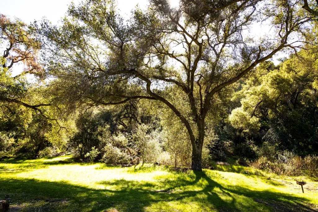
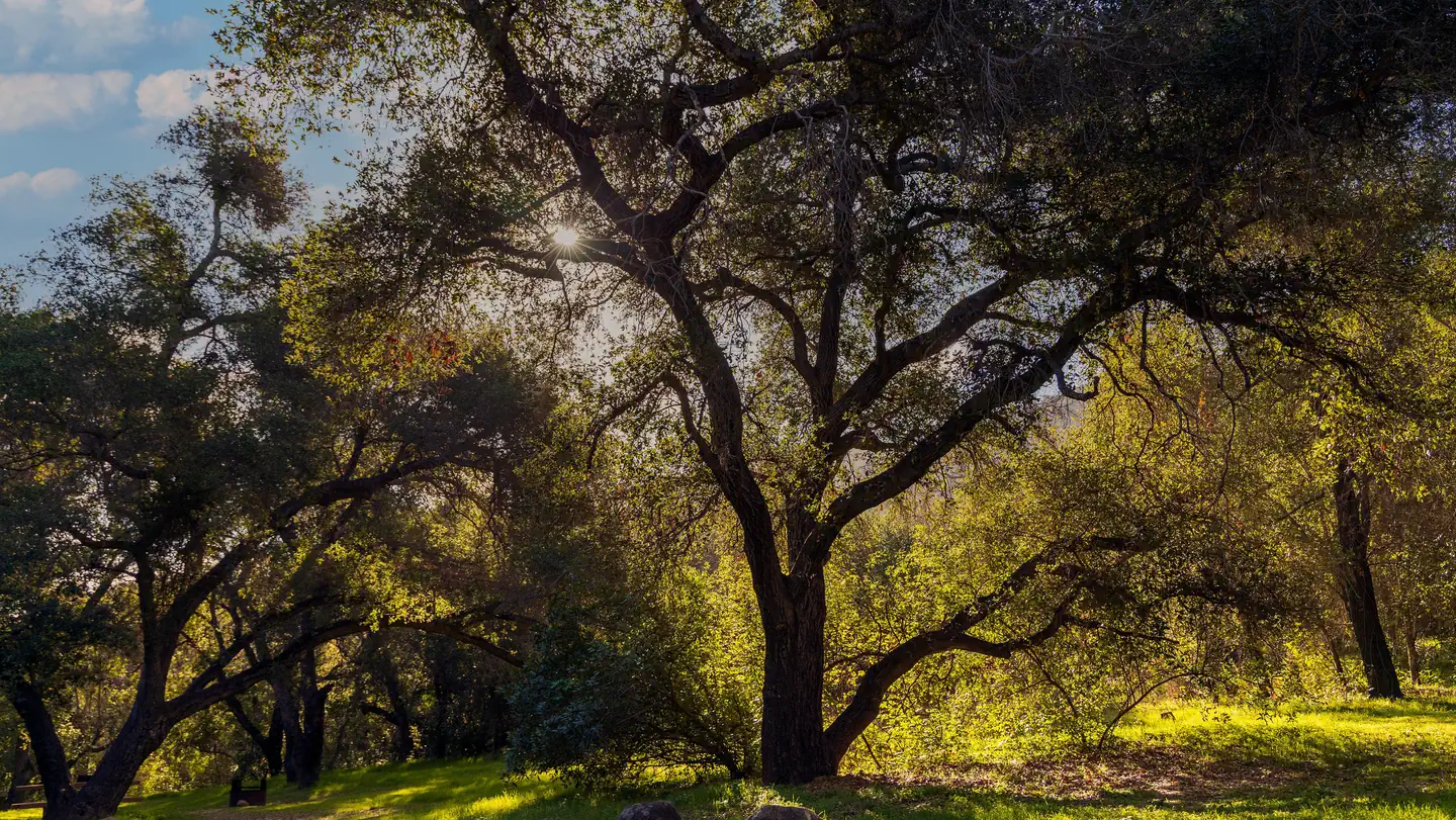
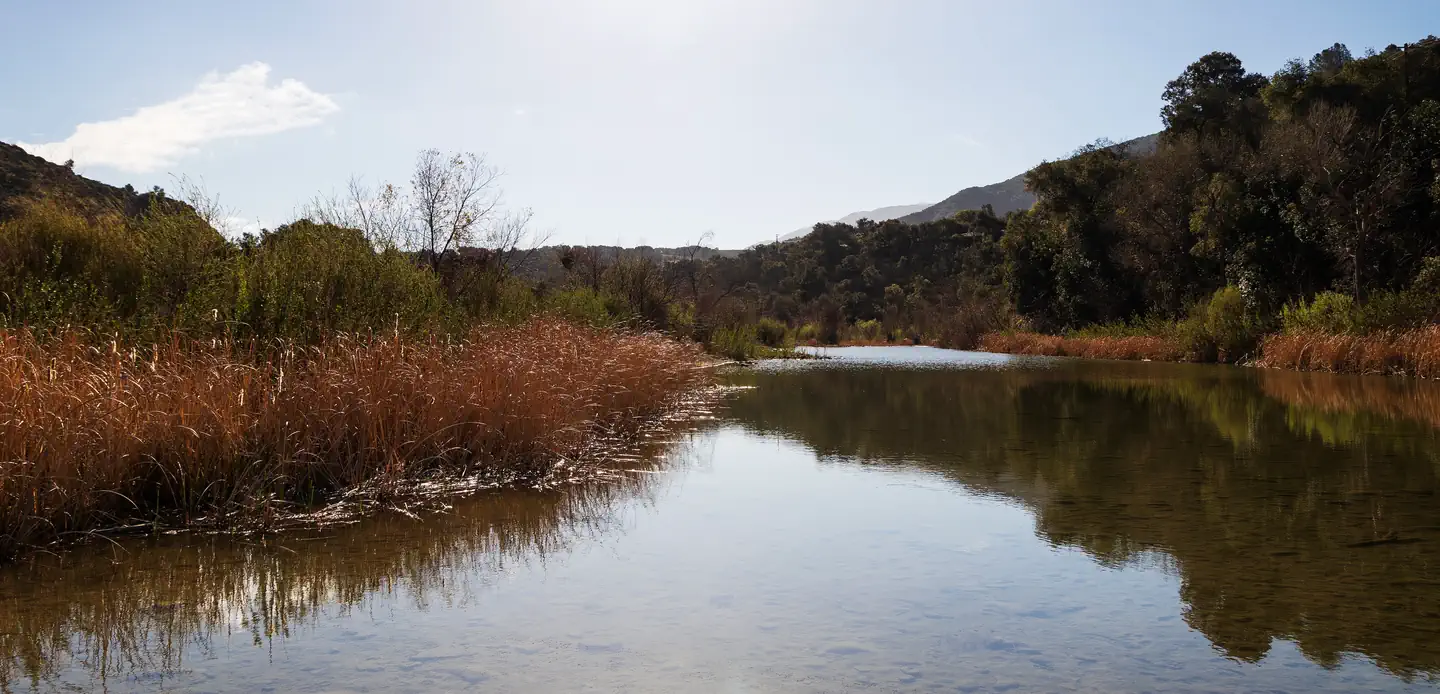
Lost Valley offers a scenic 3.38-mile round trip with nearly 1,000 feet of elevation gain, making it an accessible yet rewarding hike for those seeking a moderate workout. The trail winds through diverse California terrain, likely featuring oak woodlands and seasonal creek crossings typical of the Lost Valley area. This route provides excellent views and a good balance of challenge and accessibility for hikers looking to escape into nature without requiring extensive technical skills.
Manzana
~4 min drive
Moderate 12.18-mile valley hike with 886 ft gain near Los Olivos.
Sunset Valley
~6 min drive
Easy 1.5-mile valley hike with 482 ft gain and scenic views.
Potrero Canyon
~8 min drive
Moderate 5.84-mile canyon hike with 2,344 ft elevation gain.
Hurricane Deck
~13 min drive
Challenging 16.58-mile alpine ridge trek with 3,852 ft elevation gain.
Mission Pine
~9 min drive
Steep 1-mile climb through pine forest with 500+ ft elevation gain.
White Rock
~9 min drive
Moderate 5.95-mile day hike with 469 ft elevation gain near White Rock.
Rocky Ridge
~14 min drive
Scenic 11.78-mile ridge walk with moderate elevation gain and panoramic views.
Willow Spring (Figueroa)
~10 min drive
Easy 1.42-mile walk to Willow Spring with minimal elevation gain.
Fir Canyon Davy Brown
~10 min drive
Easy forest loop through oak and fir woodland near Los Olivos.
Bull Ridge
~18 min drive
Moderate 12.95-mile ridge loop with 394 ft elevation gain.