Washita Battlefield National Historic Site
OK
About Washita Battlefield National Historic Site
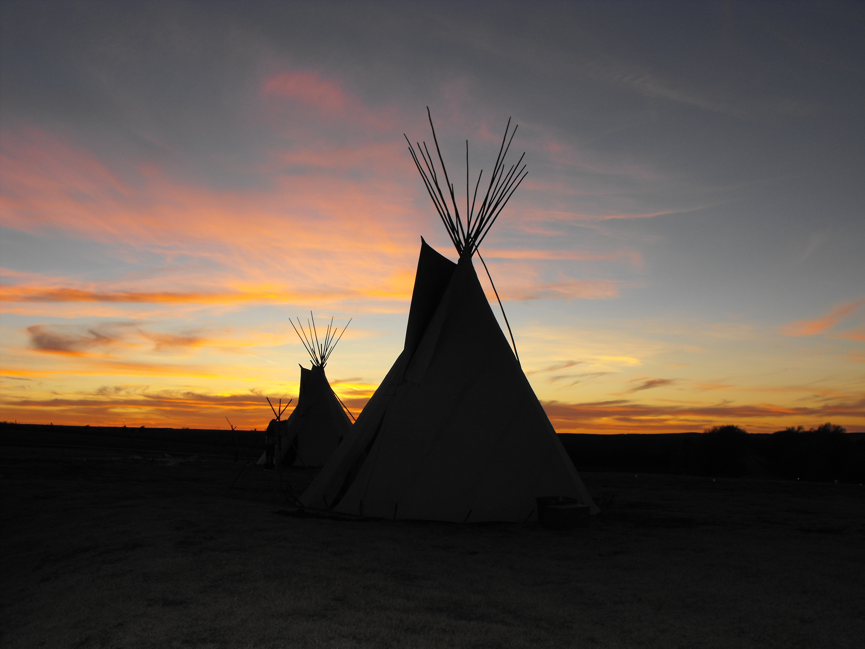
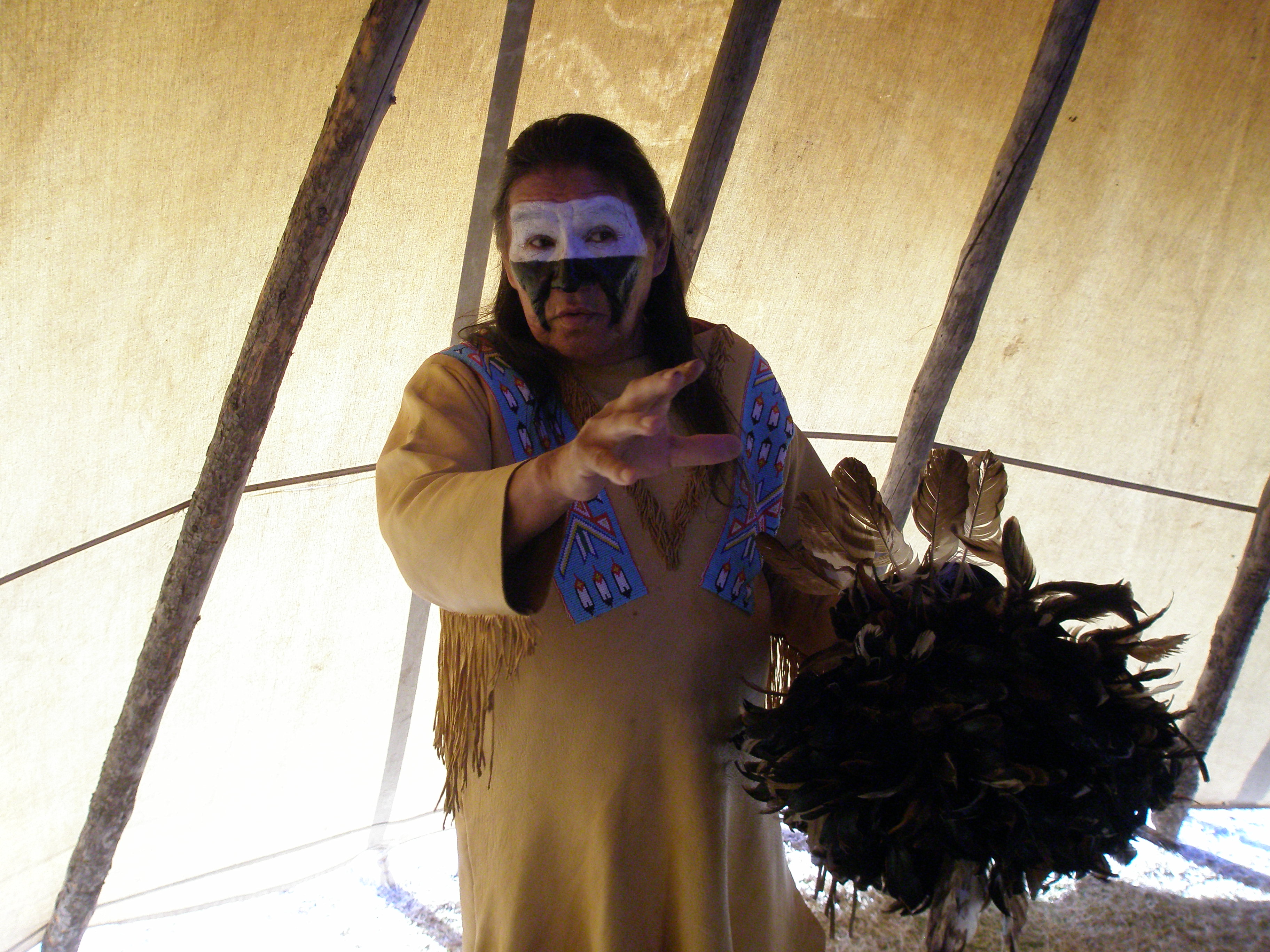
On November 27, 1868, Lt. Colonel George Armstrong Custer led the 7th US Cavalry on a surprise dawn attack on a Cheyenne village led by Peace Chief Black Kettle. The event was an example of the tragic clash of cultures that occurred during the Great Plains Wars.
It is also a place of remembrance and reflection for those who died here.
Things To Do
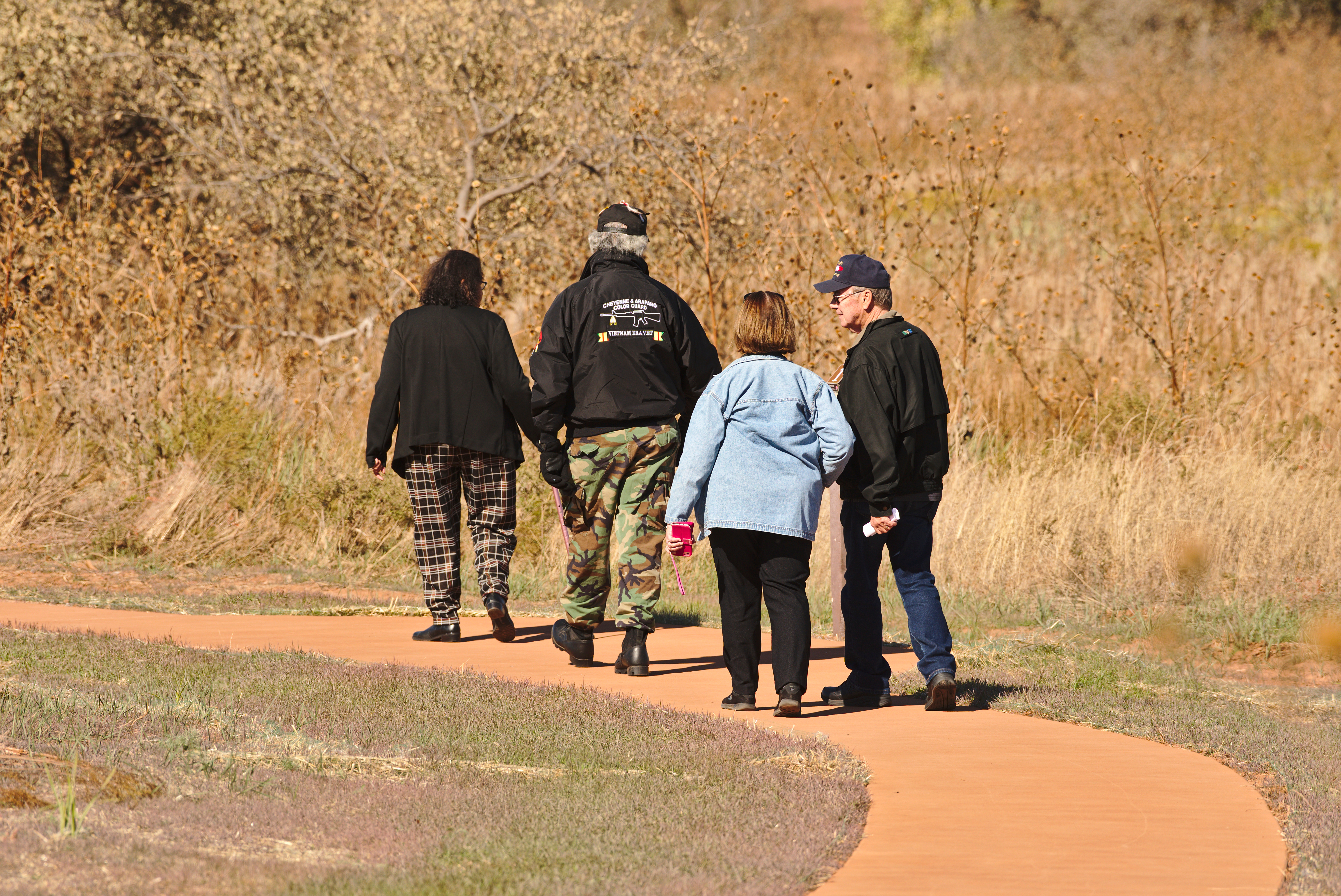
Walk Washita Battlefield Park Trail
Walk the 1.5 mile trail around Washita Battlefield.
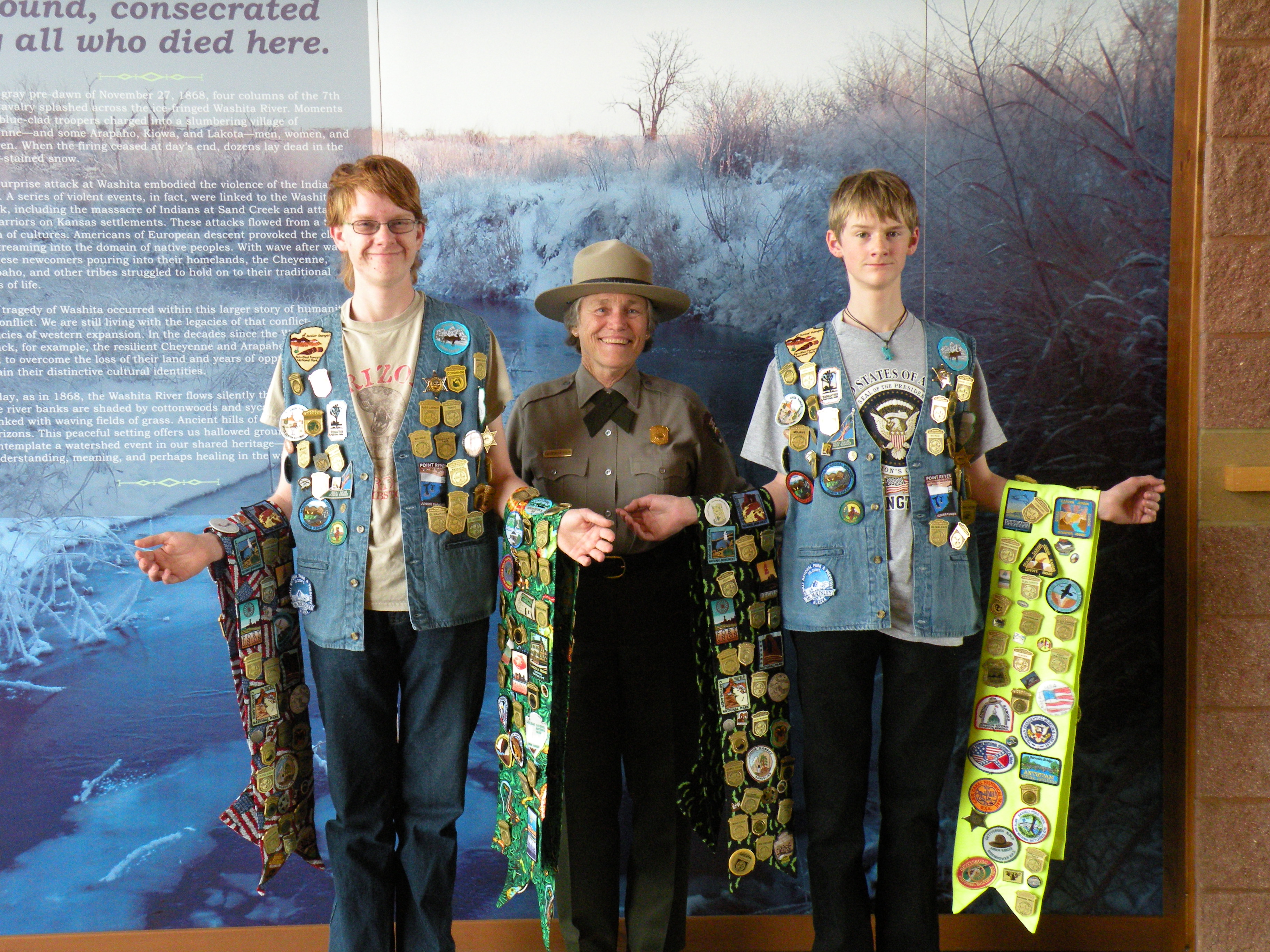
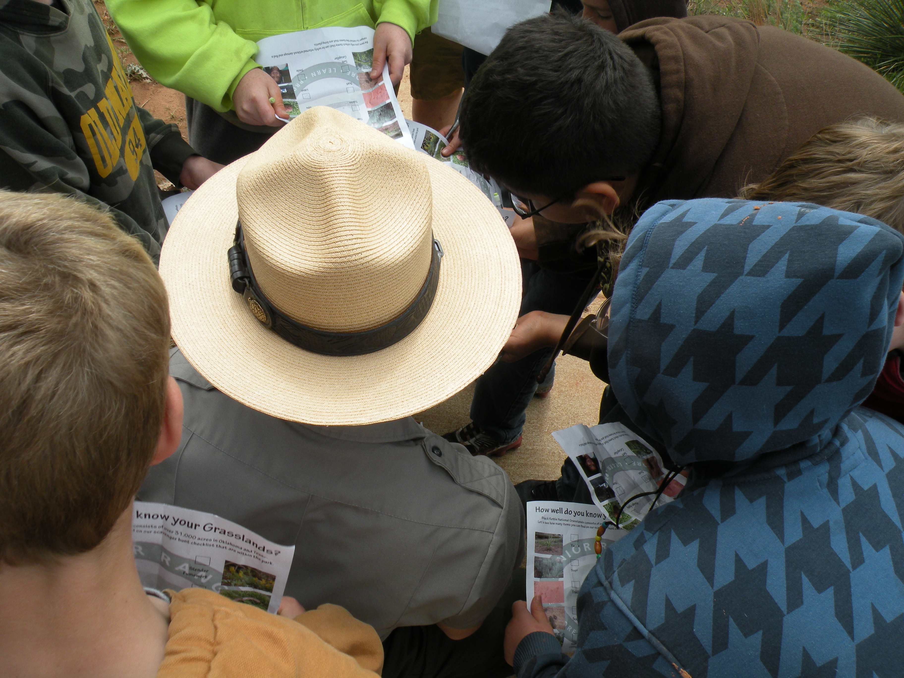
Become a Washita Junior Ranger
Become a Junior Ranger at Washita Battlefield.
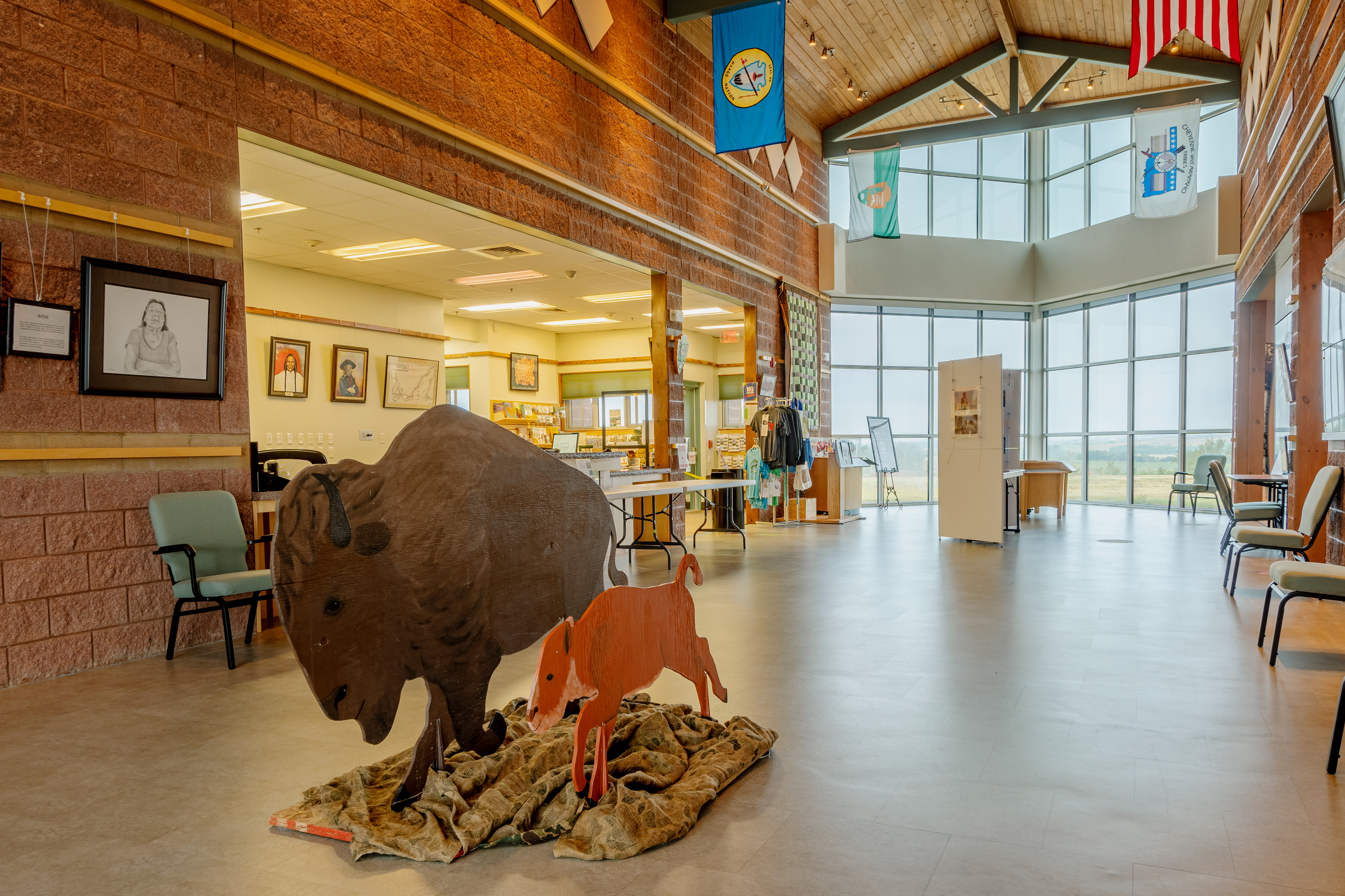
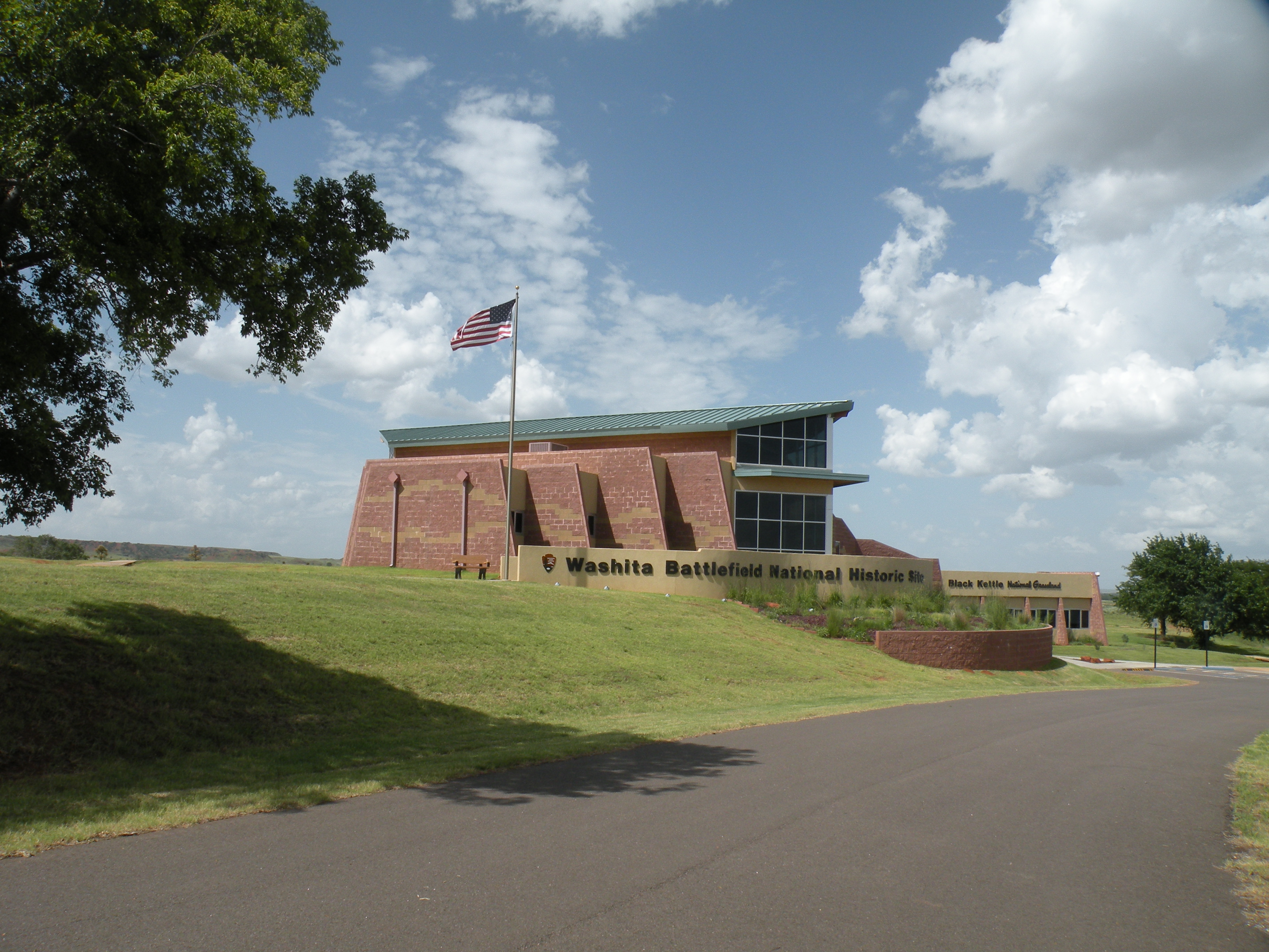
Explore the Visitor Center
Learn about Washita Battlefield through the park visitor center
Watch the Park Film
Watch the park film to learn about Washita Battlefield
Available Activities
Weather
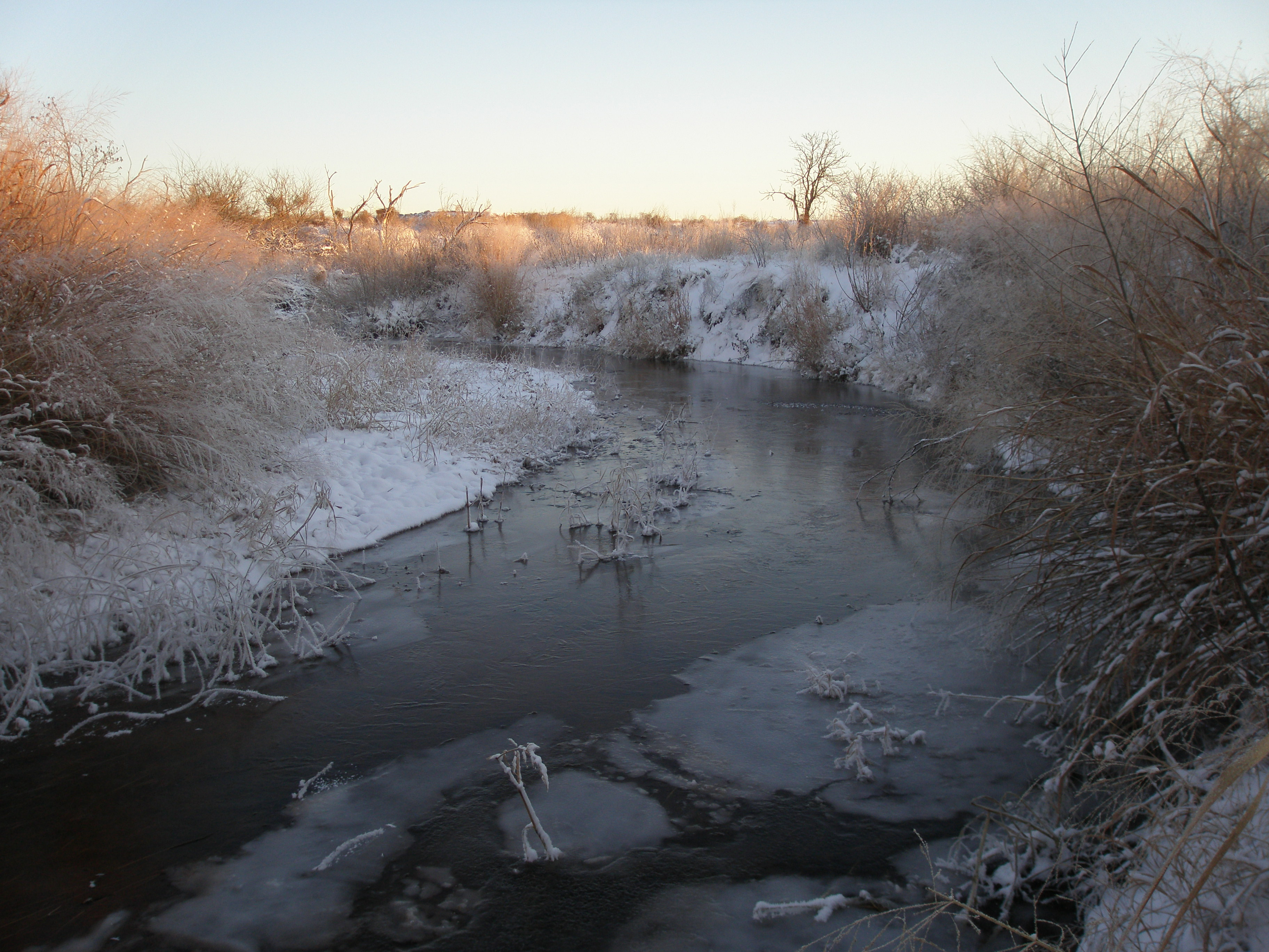
Weather in western Oklahoma can vary considerably. Winters can be mild to severe with ice storms being the biggest concern. Spring is usually short but pleasant although severe weather, including tornadoes, is still a possibility.
Usually a strong breeze is associated with spring weather. Summers are brutally hot and visitors should be cautioned about spending any length of time in the heat. Falls are cool with a bitter wind.
Getting There
Washita Battlefield is located just west of Cheyenne in western Oklahoma approximately 130 miles west of Oklahoma City and 140 miles east of Amarillo, Texas; just 25 miles north of I-40 on State Highway 283. From Cheyenne head west on State Highway 47 for about 1 mile and then make a right on State Highway 47A. The visitor center will be on the right and the battlefield is about .
5 miles past the visitor center on the right as well.
Plan Your Visit
Let Roamze help you plan the perfect trip to Washita Battlefield National Historic Site with AI-powered itineraries.
Start PlanningHours
Overlook and Trail
The overlook and trail of Washita Battlefield National Historic Site are open 30 minutes before sunrise and close 30 minutes after sunset.
