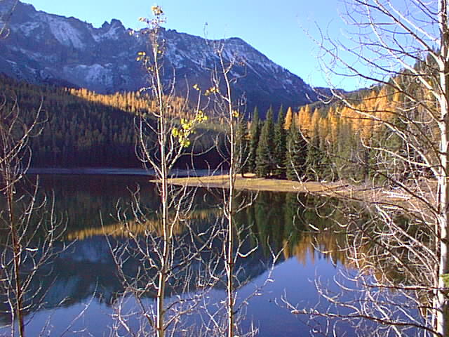
About Malheur National Forest
Malheur National Forest spans over 1.2 million acres across eastern Oregon, offering a diverse landscape of mixed conifer forests, meadows, and high-desert terrain managed by the U.S. Forest Service for multiple uses. The forest provides a broad range of recreation: miles of hiking and backpacking trails, dispersed camping throughout the landscape, fishing in streams and lakes, scenic driving routes, and hunting opportunities during designated seasons. Summer and early fall are the prime seasons for most activities, when roads and trails are snow-free and weather is stable. Winter brings heavy snow to higher elevations, closing many routes and making travel difficult; spring and late fall offer shoulder-season access but with variable conditions. Visitors should expect a working landscape—this is public land managed for timber, grazing, wildlife, and recreation together—and should check current conditions and any restrictions with the Forest Service before heading out.
Know before you go
1:34 PM
Sunrise
7:52 PM
Solar Noon
2:10 AM
Sunset
Golden Hour AM → 2:12 PM
Golden Hour PM ← 1:31 AM
🌒
Waxing Crescent
13% illuminated
Peak Season End
Closes in 16 days
September — September conditions
Nearby Trails
Things to Do
Campgrounds & Shelters
Plan Your Trip
Let Roamze help you plan the perfect adventure at Malheur National Forest.
