About Ashley National Forest
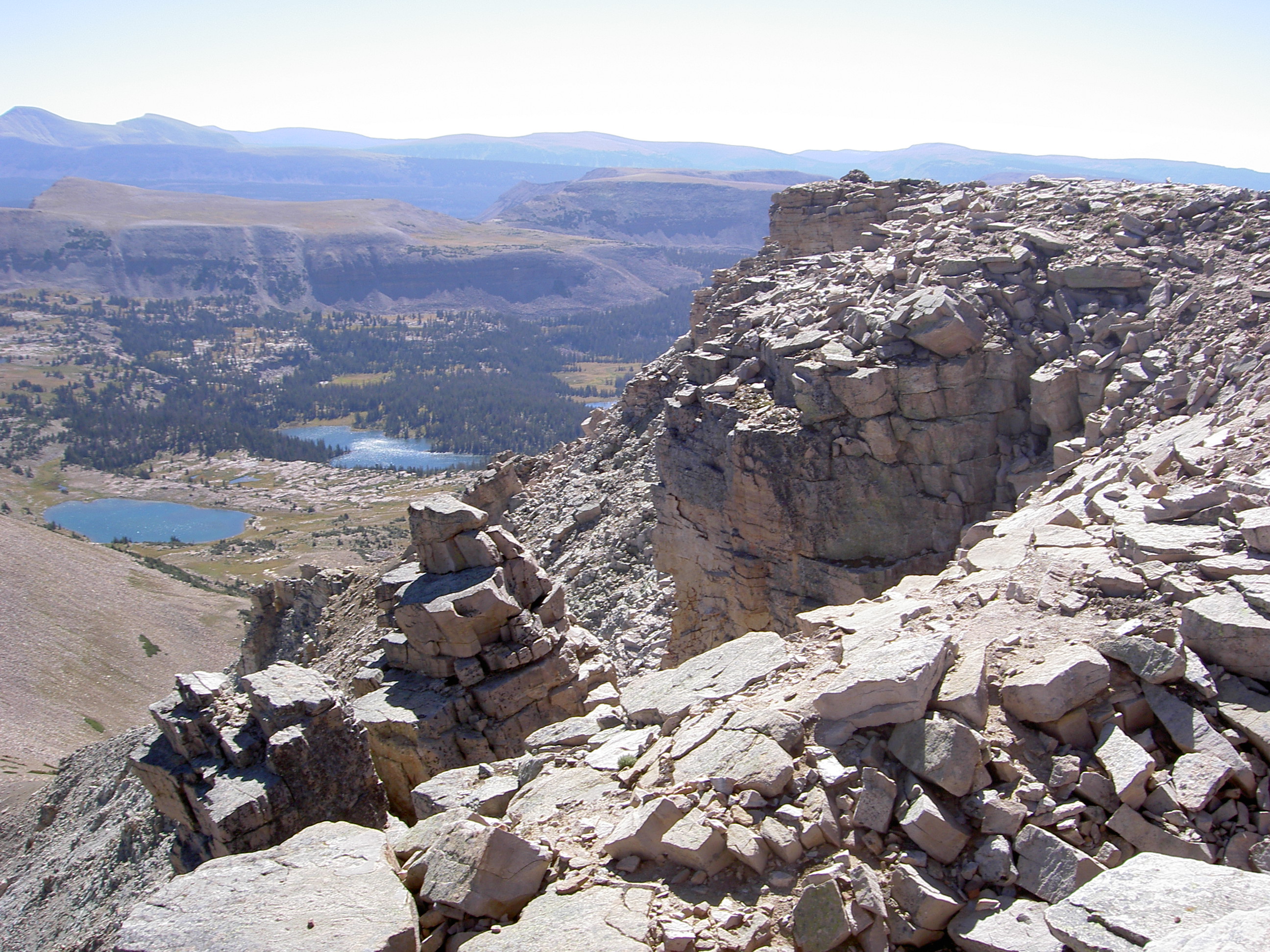
Ashley National Forest sprawls across nearly 150,000 acres in northeastern Utah, offering a diverse landscape for backcountry exploration and day-use recreation. The forest supports hiking and backpacking on numerous trails, dispersed camping throughout the backcountry, and fishing in streams and lakes. Hunting seasons draw visitors in fall and winter, while scenic drives provide access to viewpoints and trailheads. The forest experiences typical high-elevation seasons: summer and early fall offer the most stable weather and widest trail access, while winter brings snow that closes higher elevations and limits backcountry travel.
Visitors should plan around seasonal access—spring snowmelt can affect stream crossings and trail conditions, while late fall and winter require preparation for cold temperatures and potential road closures at elevation. The Forest Service manages the area as multiple-use public land, so you'll encounter a range of users. Dispersed camping is available throughout, though water and services are not guaranteed in backcountry areas. Check current conditions with the managing Forest Service office before trips, particularly for winter travel or high-country routes.
Know before you go
1:02 PM
Sunrise
7:16 PM
Solar Noon
1:31 AM
Sunset
Golden Hour AM → 1:38 PM
Golden Hour PM ← 12:55 AM
🌒
Waxing Crescent
20% illuminated
Peak Season End
Closes in 15 days
September — September conditions
Nearby Trails
Things to Do
Campgrounds & Shelters
Plan Your Trip
Let Roamze help you plan the perfect adventure at Ashley National Forest.
